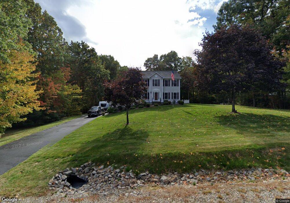
69 Longbrook Rd Goffstown, NH 03045
Estimated Value: $692,572 - $786,000
3
Beds
3
Baths
2,412
Sq Ft
$306/Sq Ft
Est. Value
About This Home
This home is located at 69 Longbrook Rd, Goffstown, NH 03045 and is currently estimated at $738,893, approximately $306 per square foot. 69 Longbrook Rd is a home with nearby schools including Mountain View Middle School, Goffstown High School, and Namaste Montessori School.
Ownership History
Date
Name
Owned For
Owner Type
Purchase Details
Closed on
Jan 14, 2005
Sold by
Longbrook Llc
Bought by
Haidaichuk Brian M and Haidaichuk Cheryl A
Current Estimated Value
Home Financials for this Owner
Home Financials are based on the most recent Mortgage that was taken out on this home.
Original Mortgage
$367,681
Interest Rate
5.81%
Mortgage Type
Purchase Money Mortgage
Create a Home Valuation Report for This Property
The Home Valuation Report is an in-depth analysis detailing your home's value as well as a comparison with similar homes in the area
Home Values in the Area
Average Home Value in this Area
Purchase History
| Date | Buyer | Sale Price | Title Company |
|---|---|---|---|
| Haidaichuk Brian M | $387,100 | -- |
Source: Public Records
Mortgage History
| Date | Status | Borrower | Loan Amount |
|---|---|---|---|
| Open | Haidaichuk Brian M | $284,318 | |
| Closed | Haidaichuk Brian M | $307,000 | |
| Closed | Haidaichuk Brian M | $367,681 |
Source: Public Records
Tax History Compared to Growth
Tax History
| Year | Tax Paid | Tax Assessment Tax Assessment Total Assessment is a certain percentage of the fair market value that is determined by local assessors to be the total taxable value of land and additions on the property. | Land | Improvement |
|---|---|---|---|---|
| 2024 | $12,491 | $611,100 | $218,400 | $392,700 |
| 2023 | $11,525 | $611,100 | $218,400 | $392,700 |
| 2022 | $10,511 | $399,500 | $143,200 | $256,300 |
| 2021 | $9,916 | $399,500 | $143,200 | $256,300 |
| 2020 | $9,916 | $399,500 | $143,200 | $256,300 |
| 2019 | $9,822 | $399,600 | $143,200 | $256,400 |
| 2018 | $7,433 | $399,600 | $143,200 | $256,400 |
| 2017 | $9,635 | $351,400 | $119,700 | $231,700 |
| 2016 | $9,288 | $351,400 | $119,700 | $231,700 |
| 2015 | $9,186 | $326,200 | $110,700 | $215,500 |
| 2014 | $8,807 | $326,200 | $110,700 | $215,500 |
Source: Public Records
Map
Nearby Homes
- 0 Mast Rd Unit 49 5054665
- 3A Dearborn Cir
- 3B Dearborn Cir
- 3D Dearborn Cir
- 2A Dearborn Cir
- 4 Arabian Ct Unit B
- 5 Mustang Ct
- 14 Angel Point Cir Unit B
- 4 Chip St
- 11 Timberwood Dr Unit 206
- 1 Oakwood Ln Unit 2
- 93 Jason Dr
- 3 Tanager Rd
- 28 Joffre St
- 11-1 Chatel Rd
- 35 Foch St
- 46 Moose Club Park Rd
- 175 Saint Anselm Dr
- 76 Donald Dr
- 16 Roger Rd
- 65 Longbrook Rd
- 75 Longbrook Rd
- 70 Longbrook Rd
- 76 Longbrook Rd
- 59 Longbrook Rd
- 78 Longbrook Rd
- 62 Longbrook Rd
- 85 Longbrook Rd
- 82 Longbrook Rd
- 55 Longbrook Rd
- 86 Longbrook Rd
- 56 Longbrook Rd
- 47 Longbrook Rd
- 50 Longbrook Rd
- 148 Kennedy Hill Rd
- 43 Longbrook Rd
- 12 Angel Point Cir Unit 20A
- 12 Angel Point Cir Unit 21B
- 12 Angel Point Cir Unit 21A
- 12 Angel Point Cir Unit 20B