69 Mere Wind Dr Cumberland Center, ME 04021
Estimated Value: $960,000 - $1,486,000
3
Beds
3
Baths
3,600
Sq Ft
$355/Sq Ft
Est. Value
About This Home
This home is located at 69 Mere Wind Dr, Cumberland Center, ME 04021 and is currently estimated at $1,278,561, approximately $355 per square foot. 69 Mere Wind Dr is a home located in Cumberland County with nearby schools including Mabel I. Wilson School, Greely Middle School 4-5, and Greely Middle School.
Ownership History
Date
Name
Owned For
Owner Type
Purchase Details
Closed on
Mar 11, 2024
Sold by
Woodward Arthur C and Woodward Marcia J
Bought by
Woodward 2002 T and Woodward W
Current Estimated Value
Purchase Details
Closed on
Jul 25, 2007
Sold by
Howison Cynthia J
Bought by
Woodward Arthur C and Woodward Marcia J
Purchase Details
Closed on
Dec 15, 2006
Sold by
Lyon Russell S and Lyon Tina L
Bought by
Woodward Arthur C and -Woodward Marcia J
Create a Home Valuation Report for This Property
The Home Valuation Report is an in-depth analysis detailing your home's value as well as a comparison with similar homes in the area
Home Values in the Area
Average Home Value in this Area
Purchase History
| Date | Buyer | Sale Price | Title Company |
|---|---|---|---|
| Woodward 2002 T | -- | None Available | |
| Woodward Arthur C | -- | -- | |
| Woodward Arthur C | -- | -- |
Source: Public Records
Tax History Compared to Growth
Tax History
| Year | Tax Paid | Tax Assessment Tax Assessment Total Assessment is a certain percentage of the fair market value that is determined by local assessors to be the total taxable value of land and additions on the property. | Land | Improvement |
|---|---|---|---|---|
| 2024 | $15,457 | $664,800 | $193,600 | $471,200 |
| 2023 | $14,725 | $664,800 | $193,600 | $471,200 |
| 2022 | $14,094 | $664,800 | $193,600 | $471,200 |
| 2021 | $13,662 | $664,800 | $193,600 | $471,200 |
| 2020 | $13,529 | $664,800 | $193,600 | $471,200 |
| 2019 | $13,196 | $664,800 | $193,600 | $471,200 |
| 2018 | $12,468 | $632,900 | $193,600 | $439,300 |
| 2017 | $11,899 | $632,900 | $193,600 | $439,300 |
| 2016 | $11,550 | $632,900 | $193,600 | $439,300 |
| 2015 | $11,455 | $632,900 | $193,600 | $439,300 |
| 2014 | $11,012 | $632,900 | $193,600 | $439,300 |
| 2013 | $10,759 | $632,900 | $193,600 | $439,300 |
Source: Public Records
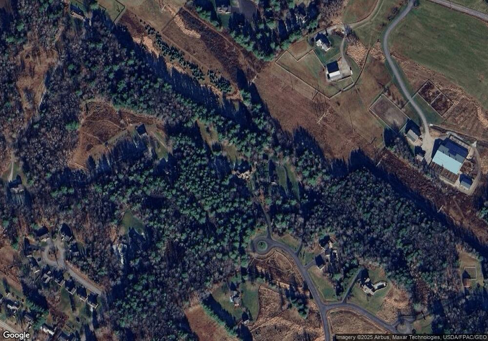
Map
Nearby Homes
- 11 Apple Brook Dr
- 31 Stony Brook Ln
- 13 Country Charm Rd
- 114 Prince Well Rd
- 64 Newell Rd
- 9 Newell Rd
- 330 Main St Unit 1
- 138 Cumberland Rd
- 12 Oak St
- 195 Hillside St
- 154 W Main St
- 14 Maple St
- 90 W Main St
- 25 Meadowbrook Ln
- 2 Bradbury Way
- 411 Walnut Hill Rd
- 44 Essex Dr
- 3 Cumberland St
- 90 Harris Lot 1 Rd
- 309 Main St Unit A
- 61 Mere Wind Dr
- 60 Mere Wind Dr
- 53 Mere Wind Dr
- 26 Apple Brook Dr
- 46 Mere Wind Dr
- 56 Walnut Hill Rd
- 12 Aspen Crest Rd
- 60 Walnut Hill Rd
- Lot 9 Garden Gate
- 26 Honey Comb Dr
- 20 Garden Gate Cir
- 18 Garden Gate Cir
- 2 Garden Gate Cir
- 4 Garden Gate Cir
- 4 Garden Gate Cir
- 52 Walnut Hill Rd
- 20 Mere Wind Dr
- 62 Walnut Hill Rd
- 66 Walnut Hill Rd
- 6 Garden Gate Cir