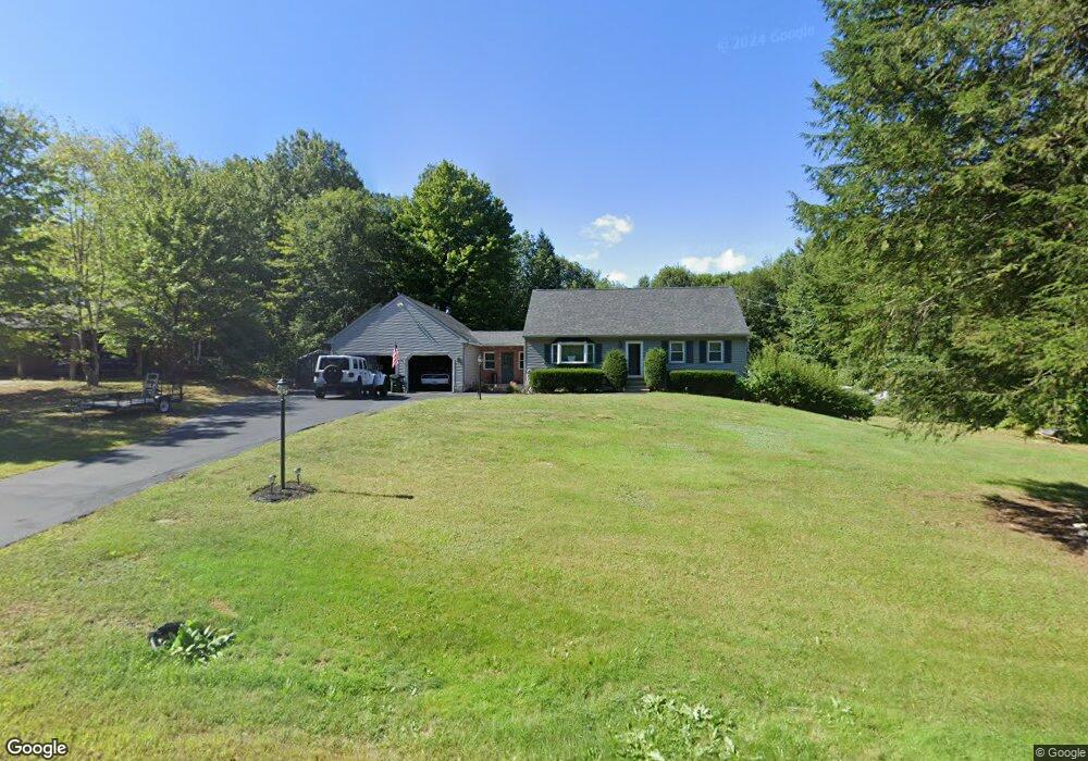
69 Mo Sett Ave Goffstown, NH 03045
Estimated Value: $503,398 - $549,000
3
Beds
2
Baths
1,512
Sq Ft
$346/Sq Ft
Est. Value
About This Home
This home is located at 69 Mo Sett Ave, Goffstown, NH 03045 and is currently estimated at $522,850, approximately $345 per square foot. 69 Mo Sett Ave is a home with nearby schools including Mountain View Middle School, Goffstown High School, and Namaste Montessori School.
Ownership History
Date
Name
Owned For
Owner Type
Purchase Details
Closed on
Dec 21, 2006
Sold by
Morrison John H and Morrison Gail K
Bought by
Gage Albertus S
Current Estimated Value
Home Financials for this Owner
Home Financials are based on the most recent Mortgage that was taken out on this home.
Original Mortgage
$158,000
Outstanding Balance
$94,674
Interest Rate
6.35%
Mortgage Type
Purchase Money Mortgage
Estimated Equity
$428,176
Create a Home Valuation Report for This Property
The Home Valuation Report is an in-depth analysis detailing your home's value as well as a comparison with similar homes in the area
Home Values in the Area
Average Home Value in this Area
Purchase History
| Date | Buyer | Sale Price | Title Company |
|---|---|---|---|
| Gage Albertus S | $278,000 | -- |
Source: Public Records
Mortgage History
| Date | Status | Borrower | Loan Amount |
|---|---|---|---|
| Open | Gage Albertus S | $158,000 | |
| Previous Owner | Gage Albertus S | $125,000 |
Source: Public Records
Tax History Compared to Growth
Tax History
| Year | Tax Paid | Tax Assessment Tax Assessment Total Assessment is a certain percentage of the fair market value that is determined by local assessors to be the total taxable value of land and additions on the property. | Land | Improvement |
|---|---|---|---|---|
| 2024 | $8,826 | $431,800 | $187,600 | $244,200 |
| 2023 | $8,144 | $431,800 | $187,600 | $244,200 |
| 2022 | $7,577 | $288,000 | $123,700 | $164,300 |
| 2021 | $7,148 | $288,000 | $123,700 | $164,300 |
| 2020 | $7,148 | $288,000 | $123,700 | $164,300 |
| 2019 | $7,079 | $288,000 | $123,700 | $164,300 |
| 2018 | $5,357 | $288,000 | $123,700 | $164,300 |
| 2017 | $6,701 | $244,400 | $102,300 | $142,100 |
| 2016 | $6,459 | $244,400 | $102,300 | $142,100 |
| 2015 | $6,527 | $231,800 | $96,200 | $135,600 |
| 2014 | $6,259 | $231,800 | $96,200 | $135,600 |
Source: Public Records
Map
Nearby Homes
- 22 Peppermint St
- 16 Roger Rd
- 53 Rachael Cir
- 243 Donald Dr
- 76 Donald Dr
- 115 Forestedge Way
- 163 Woodview Way Unit 2
- 61 Woodview Way
- 11-1 Chatel Rd
- 328 E Dunbarton Rd
- 4 Arabian Ct Unit B
- 5 Mustang Ct
- 0 Mast Rd Unit 49 5054665
- 4 Chip St
- 4B Dearborn Cir
- 3D Dearborn Cir
- 3B Dearborn Cir
- 3A Dearborn Cir
- 1306 Goffstown Rd Unit 9
- 1021 Goffstown Rd
- 63 Mo Sett Ave
- 73 Mo Sett Ave Unit A
- 73 Mo Sett Ave
- 73 Mo-Sett Ave Unit B
- 73 Mo-Sett Ave
- 64 Mo Sett Ave
- 58 Mo Sett Ave
- 51 Mo Sett Ave
- 82 Mo Sett Ave
- 82 Mo-Sett Ave
- 85 Mo Sett Ave
- 52 Mo Sett Ave
- 47 Mo Sett Ave
- 86 Mo Sett Ave
- 46 Mo Sett Ave
- 190 Tirrell Hill Rd
- 95 Mo Sett Ave
- 39 Mo Sett Ave
- 64 Lindsey Way
- 68 Lindsey Way