69 Northridge Dr Eldon, MI 65026
Estimated Value: $570,773 - $610,000
Studio
3
Baths
2,232
Sq Ft
$265/Sq Ft
Est. Value
About This Home
This home is located at 69 Northridge Dr, Eldon, MI 65026 and is currently estimated at $591,693, approximately $265 per square foot. 69 Northridge Dr is a home located in Miller County with nearby schools including South Elementary School, Eldon Upper Elementary School, and Eldon Middle School.
Ownership History
Date
Name
Owned For
Owner Type
Purchase Details
Closed on
Oct 10, 2025
Sold by
Hart Terry K and Hart Cathy L
Bought by
Henley Michael D and Henley Kyle K
Current Estimated Value
Home Financials for this Owner
Home Financials are based on the most recent Mortgage that was taken out on this home.
Original Mortgage
$445,000
Outstanding Balance
$444,602
Interest Rate
6.56%
Mortgage Type
New Conventional
Estimated Equity
$147,091
Purchase Details
Closed on
May 31, 2014
Sold by
Boulch Donald G and Boulch Carol J
Bought by
Hemminger David W and Hemminger Della M
Home Financials for this Owner
Home Financials are based on the most recent Mortgage that was taken out on this home.
Original Mortgage
$129,000
Interest Rate
4.35%
Mortgage Type
New Conventional
Purchase Details
Closed on
Dec 23, 2010
Sold by
Vansciver Judith L
Bought by
Boulch Donald G and Boulch Carol J
Create a Home Valuation Report for This Property
The Home Valuation Report is an in-depth analysis detailing your home's value as well as a comparison with similar homes in the area
Home Values in the Area
Average Home Value in this Area
Purchase History
| Date | Buyer | Sale Price | Title Company |
|---|---|---|---|
| Henley Michael D | -- | Arrowhead Title | |
| Hemminger David W | -- | None Available | |
| Boulch Donald G | -- | None Available |
Source: Public Records
Mortgage History
| Date | Status | Borrower | Loan Amount |
|---|---|---|---|
| Open | Henley Michael D | $445,000 | |
| Previous Owner | Hemminger David W | $129,000 |
Source: Public Records
Tax History
| Year | Tax Paid | Tax Assessment Tax Assessment Total Assessment is a certain percentage of the fair market value that is determined by local assessors to be the total taxable value of land and additions on the property. | Land | Improvement |
|---|---|---|---|---|
| 2025 | $2,132 | $43,990 | $3,500 | $40,490 |
| 2024 | $2,015 | $39,690 | $3,180 | $36,510 |
| 2023 | $1,961 | $38,650 | $2,140 | $36,510 |
| 2022 | $0 | $38,650 | $2,140 | $36,510 |
| 2020 | $1,887 | $36,750 | $2,140 | $34,610 |
| 2019 | $1,864 | $36,270 | $2,140 | $34,130 |
| 2018 | $1,821 | $36,270 | $2,140 | $34,130 |
| 2017 | $1,783 | $35,910 | $2,090 | $33,820 |
| 2016 | $1,796 | $35,910 | $0 | $0 |
| 2015 | -- | $35,910 | $0 | $0 |
| 2012 | -- | $35,530 | $0 | $0 |
Source: Public Records
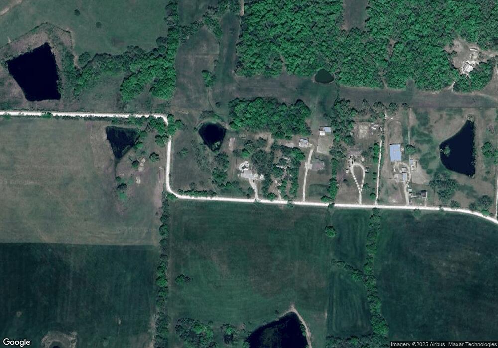
Map
Nearby Homes
- 1464 N Oak St
- 208 E Jemphrey Rd
- 109 W Haynes St
- 204 W Jemphrey Rd
- 225 Missouri 87
- 508 E Harrison St
- 502 N Vernon Dr
- 807 Rollotrend Ln
- 807 W Rollotrend Ln
- 1007 E Lawson Ave
- Lot 5 W Bourbon St
- Lot 7 W Bourbon St
- Lot 9 W Bourbon St
- Lot 6 W Bourbon St
- Lot 10 W Bourbon St
- 110 W Autry St
- 207 Franklin Ave
- 306 El Donna Ave
- 612 E High St
- 107 Lynn Ave
- 69 County Road Cc-6
- 65 County Road Cc-6
- 65 Northridge Dr
- 59 County Road Cc-6
- 59 Northridge Dr
- 57 County Road Cc-6
- 57 Northridge Dr
- 49 Northridge Dr
- 96 Highway Cc
- 41 Salem Rd
- 95 Highway Cc
- 139 Highway Cc
- 141 Hwy Cc
- 141 Highway Cc
- 183 Missouri 87
- 197 Highway 87
- 195 Highway 87
- 161 Highway 87
- 225 Highway 87
- 153 Hwy 87
Your Personal Tour Guide
Ask me questions while you tour the home.