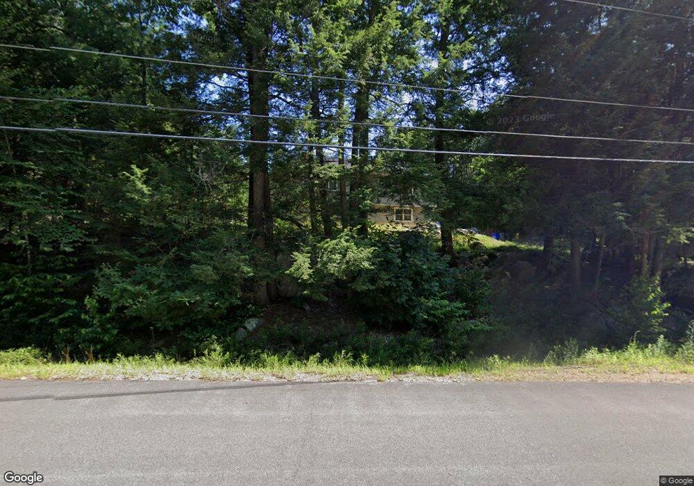
69 Portage Rd Goffstown, NH 03045
Estimated Value: $403,000 - $513,000
2
Beds
1
Bath
1,254
Sq Ft
$376/Sq Ft
Est. Value
About This Home
This home is located at 69 Portage Rd, Goffstown, NH 03045 and is currently estimated at $471,406, approximately $375 per square foot. 69 Portage Rd is a home with nearby schools including Mountain View Middle School and Goffstown High School.
Ownership History
Date
Name
Owned For
Owner Type
Purchase Details
Closed on
Apr 2, 2007
Sold by
Marchand Annette P
Bought by
Dolbec Adam D
Current Estimated Value
Home Financials for this Owner
Home Financials are based on the most recent Mortgage that was taken out on this home.
Original Mortgage
$256,000
Interest Rate
6.33%
Mortgage Type
Purchase Money Mortgage
Purchase Details
Closed on
Jun 20, 2003
Sold by
Hurrell Donna M
Bought by
Marchard Annette
Home Financials for this Owner
Home Financials are based on the most recent Mortgage that was taken out on this home.
Original Mortgage
$143,500
Interest Rate
5.71%
Create a Home Valuation Report for This Property
The Home Valuation Report is an in-depth analysis detailing your home's value as well as a comparison with similar homes in the area
Home Values in the Area
Average Home Value in this Area
Purchase History
| Date | Buyer | Sale Price | Title Company |
|---|---|---|---|
| Dolbec Adam D | $256,000 | -- | |
| Marchard Annette | $219,000 | -- |
Source: Public Records
Mortgage History
| Date | Status | Borrower | Loan Amount |
|---|---|---|---|
| Open | Marchard Annette | $261,466 | |
| Closed | Marchard Annette | $257,602 | |
| Closed | Marchard Annette | $256,000 | |
| Previous Owner | Marchard Annette | $143,500 |
Source: Public Records
Tax History Compared to Growth
Tax History
| Year | Tax Paid | Tax Assessment Tax Assessment Total Assessment is a certain percentage of the fair market value that is determined by local assessors to be the total taxable value of land and additions on the property. | Land | Improvement |
|---|---|---|---|---|
| 2024 | $8,256 | $403,900 | $184,700 | $219,200 |
| 2023 | $7,618 | $403,900 | $184,700 | $219,200 |
| 2022 | $6,977 | $265,200 | $119,700 | $145,500 |
| 2021 | $6,131 | $247,000 | $119,700 | $127,300 |
| 2020 | $6,131 | $247,000 | $119,700 | $127,300 |
| 2019 | $6,071 | $247,000 | $119,700 | $127,300 |
| 2018 | $4,594 | $247,000 | $119,700 | $127,300 |
| 2017 | $5,983 | $218,200 | $99,700 | $118,500 |
| 2016 | $5,767 | $218,200 | $99,700 | $118,500 |
| 2015 | $5,542 | $196,800 | $86,600 | $110,200 |
| 2014 | $5,314 | $196,800 | $86,600 | $110,200 |
Source: Public Records
Map
Nearby Homes
- 602 Black Brook Rd
- 30 Horizon Dr
- 45 Range Rd
- 10 Serenitas Ln
- 22 Peppermint St
- 500 E Dunbarton Rd
- 227 Twist Hill Rd
- 501 E Dunbarton Rd
- 163 Woodview Way Unit 2
- 43 Maple Leaf Way
- 22 Winter Hill Rd
- 2 Larch St Unit 1
- 76 Donald Dr
- 16 Roger Rd
- Lot 41-B Quimby Rd
- 13 S Bow Dunbarton Rd
- 93 Jason Dr
- 15 S Bow Dunbarton Rd
- 216 Hackett Hill Rd
- 261 Hackett Hill Rd
- 75 Portage Rd
- 70 Portage Rd
- 78 Portage Rd
- 58 Portage Rd
- 39 Portage Rd
- 36 Portage Rd
- 410 Black Brook Rd
- 424 Black Brook Rd
- 27 Portage Rd
- 63 Shanty Rd
- 9-63 Shanty Rd Unit 9-63
- 9-65 Shanty Rd Unit 9-65
- 00 Shanty Rd
- Lot 63 Shanty Rd
- 24 Portage Rd
- 406 Black Brook Rd
- 17 Portage Rd
- 469 Black Brook Rd
- 400 Black Brook Rd
- 9 Portage Rd