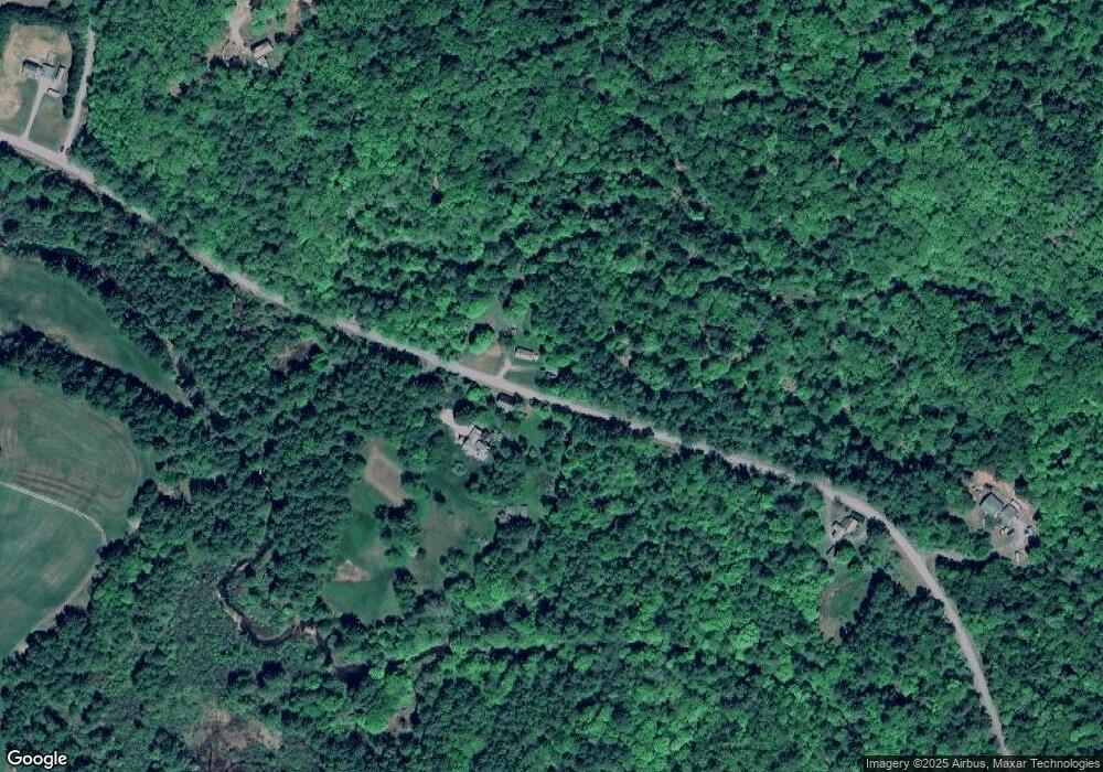
69 Spofford Rd Westmoreland, NH 03467
Estimated Value: $260,890 - $473,000
1
Bed
1
Bath
561
Sq Ft
$593/Sq Ft
Est. Value
About This Home
This home is located at 69 Spofford Rd, Westmoreland, NH 03467 and is currently estimated at $332,473, approximately $592 per square foot. 69 Spofford Rd is a home with nearby schools including Mayland Early College High School and Keene High School.
Create a Home Valuation Report for This Property
The Home Valuation Report is an in-depth analysis detailing your home's value as well as a comparison with similar homes in the area
Home Values in the Area
Average Home Value in this Area
Tax History Compared to Growth
Tax History
| Year | Tax Paid | Tax Assessment Tax Assessment Total Assessment is a certain percentage of the fair market value that is determined by local assessors to be the total taxable value of land and additions on the property. | Land | Improvement |
|---|---|---|---|---|
| 2024 | $2,969 | $128,732 | $75,632 | $53,100 |
| 2023 | $2,744 | $128,903 | $75,803 | $53,100 |
| 2022 | $2,651 | $129,012 | $75,912 | $53,100 |
| 2021 | $2,632 | $129,035 | $75,935 | $53,100 |
| 2020 | $2,472 | $97,305 | $60,805 | $36,500 |
| 2019 | $2,614 | $97,353 | $60,853 | $36,500 |
| 2018 | $2,480 | $97,337 | $60,837 | $36,500 |
| 2017 | $2,432 | $97,269 | $60,769 | $36,500 |
| 2016 | $2,414 | $97,201 | $60,701 | $36,500 |
| 2015 | $2,232 | $102,342 | $63,742 | $38,600 |
| 2014 | $2,229 | $102,336 | $63,736 | $38,600 |
| 2012 | $2,169 | $102,672 | $74,272 | $28,400 |
Source: Public Records
Map
Nearby Homes
- 000 S Village Rd Unit 13
- 601 River Rd S
- 14 Hurricane Rd
- 43 Westmoreland Rd
- 36 Canal St
- 563 N Shore Rd
- 48 Church St
- 85 Foley Rd
- 00 S Pine Banks Rd
- 1123 River Rd
- 123 Poocham Rd
- Rt Highway 12
- 119 Main St
- 13 Kimball Hill
- 821 Route 9
- 212 S Pine Banks Rd
- 15 Stearns Rd
- 62 Westminster Rd
- 0 Stow Dr Unit 4929741
- 4 Signal Pine Rd