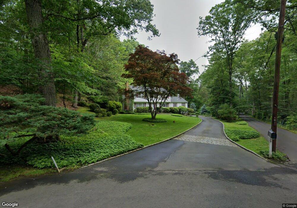
69 Thunder Mountain Rd Greenwich, CT 06831
Mid-Country West NeighborhoodEstimated Value: $2,049,013 - $2,661,000
4
Beds
4
Baths
2,559
Sq Ft
$926/Sq Ft
Est. Value
About This Home
This home is located at 69 Thunder Mountain Rd, Greenwich, CT 06831 and is currently estimated at $2,370,253, approximately $926 per square foot. 69 Thunder Mountain Rd is a home located in Fairfield County with nearby schools including Glenville School, Western Middle School, and Greenwich High School.
Ownership History
Date
Name
Owned For
Owner Type
Purchase Details
Closed on
Dec 10, 2012
Sold by
Dibuono Cecelia L
Bought by
Campa T
Current Estimated Value
Purchase Details
Closed on
Apr 26, 1972
Bought by
Lt Campa
Create a Home Valuation Report for This Property
The Home Valuation Report is an in-depth analysis detailing your home's value as well as a comparison with similar homes in the area
Home Values in the Area
Average Home Value in this Area
Purchase History
| Date | Buyer | Sale Price | Title Company |
|---|---|---|---|
| Campa T | -- | -- | |
| Lt Campa | -- | -- |
Source: Public Records
Mortgage History
| Date | Status | Borrower | Loan Amount |
|---|---|---|---|
| Previous Owner | Lt Campa | $200,000 | |
| Previous Owner | Lt Campa | $329,000 | |
| Previous Owner | Lt Campa | $456,000 | |
| Previous Owner | Lt Campa | $500,000 |
Source: Public Records
Tax History Compared to Growth
Tax History
| Year | Tax Paid | Tax Assessment Tax Assessment Total Assessment is a certain percentage of the fair market value that is determined by local assessors to be the total taxable value of land and additions on the property. | Land | Improvement |
|---|---|---|---|---|
| 2025 | $10,409 | $864,500 | $604,800 | $259,700 |
| 2024 | $10,123 | $864,500 | $604,800 | $259,700 |
| 2023 | $9,847 | $864,500 | $604,800 | $259,700 |
| 2022 | $9,752 | $864,500 | $604,800 | $259,700 |
| 2021 | $9,079 | $783,370 | $504,700 | $278,670 |
| 2020 | $9,079 | $783,370 | $504,700 | $278,670 |
| 2019 | $9,150 | $783,370 | $504,700 | $278,670 |
| 2018 | $8,907 | $783,370 | $504,700 | $278,670 |
| 2017 | $8,907 | $783,370 | $504,700 | $278,670 |
| 2016 | $8,774 | $783,370 | $504,700 | $278,670 |
| 2015 | $11,324 | $1,004,780 | $797,790 | $206,990 |
| 2014 | $11,022 | $1,004,780 | $797,790 | $206,990 |
Source: Public Records
Map
Nearby Homes
- 28 Thunder Mountain Rd
- 267 Riversville Rd
- 8 Chieftans Rd
- 96 Porchuck Rd
- 94 Porchuck Rd
- 145 Porchuck Rd
- 97 Pecksland Rd
- 0 Pecksland Rd
- 1 Element Ln
- 10 Cliffdale Rd
- 78 Khakum Wood Rd
- 125 Bowman Dr
- 26 Reunion Rd
- 9 Corrigan Ln
- 15 Arrowwood Cir Unit 136
- 27 Doral Greens Dr E
- 52 Round Hill Rd
- 583 Lake Ave
- 331 Round Hill Rd
- 27 Lavender Ln
- 73 Thunder Mountain Rd
- 76 Thunder Mountain Rd
- 70 Thunder Mountain Rd
- 61 Thunder Mountain Rd
- 411 Riversville Rd
- 58 Thunder Mountain Rd
- 351 Riversville Rd
- 51 Thunder Mountain Rd
- 52 Thunder Mountain Rd
- 349 Riversville Rd
- 47 Thunder Mountain Rd
- 357 Riversville Rd
- 46 Thunder Mountain Rd
- 353 Riversville Rd
- 353 Riversville Rd
- 41 Thunder Mountain Rd
- 347 Riversville Rd
- 325 Riversville Rd
- 355 Riversville Rd
- 343 Riversville Rd