69 Tower Rd Kittery Point, ME 03905
Kittery Point NeighborhoodEstimated Value: $1,479,000 - $2,538,000
2
Beds
2
Baths
1,224
Sq Ft
$1,625/Sq Ft
Est. Value
About This Home
This home is located at 69 Tower Rd, Kittery Point, ME 03905 and is currently estimated at $1,989,475, approximately $1,625 per square foot. 69 Tower Rd is a home with nearby schools including Horace Mitchell Primary School, Shapleigh School, and Robert W Traip Academy.
Ownership History
Date
Name
Owned For
Owner Type
Purchase Details
Closed on
Jan 3, 2017
Sold by
Janice W Eddy Ret Of 1996
Bought by
Mcgowan Archie R and Quinn Mary E
Current Estimated Value
Home Financials for this Owner
Home Financials are based on the most recent Mortgage that was taken out on this home.
Original Mortgage
$666,250
Outstanding Balance
$546,207
Interest Rate
3.94%
Mortgage Type
Purchase Money Mortgage
Estimated Equity
$1,443,268
Purchase Details
Closed on
Jun 9, 2009
Sold by
Janice W Eddy Ret
Bought by
Eddy Janice W
Home Financials for this Owner
Home Financials are based on the most recent Mortgage that was taken out on this home.
Original Mortgage
$118,000
Interest Rate
4.83%
Mortgage Type
Unknown
Create a Home Valuation Report for This Property
The Home Valuation Report is an in-depth analysis detailing your home's value as well as a comparison with similar homes in the area
Home Values in the Area
Average Home Value in this Area
Purchase History
| Date | Buyer | Sale Price | Title Company |
|---|---|---|---|
| Mcgowan Archie R | -- | -- | |
| Eddy Janice W | -- | -- |
Source: Public Records
Mortgage History
| Date | Status | Borrower | Loan Amount |
|---|---|---|---|
| Open | Mcgowan Archie R | $666,250 | |
| Previous Owner | Eddy Janice W | $118,000 |
Source: Public Records
Tax History
| Year | Tax Paid | Tax Assessment Tax Assessment Total Assessment is a certain percentage of the fair market value that is determined by local assessors to be the total taxable value of land and additions on the property. | Land | Improvement |
|---|---|---|---|---|
| 2024 | $19,393 | $1,365,700 | $1,127,600 | $238,100 |
| 2023 | $18,587 | $1,365,700 | $1,127,600 | $238,100 |
| 2022 | $18,410 | $1,365,700 | $1,127,600 | $238,100 |
| 2021 | $17,688 | $1,360,600 | $1,127,600 | $233,000 |
| 2020 | $17,552 | $1,360,600 | $1,127,600 | $233,000 |
| 2019 | $16,159 | $928,700 | $759,200 | $169,500 |
| 2018 | $14,716 | $928,400 | $759,200 | $169,200 |
| 2017 | $3,222 | $928,400 | $759,200 | $169,200 |
| 2016 | $14,817 | $923,200 | $759,200 | $164,000 |
| 2015 | $14,432 | $921,000 | $759,200 | $161,800 |
| 2014 | $14,294 | $921,000 | $759,200 | $161,800 |
| 2013 | $14,018 | $921,000 | $759,200 | $161,800 |
Source: Public Records
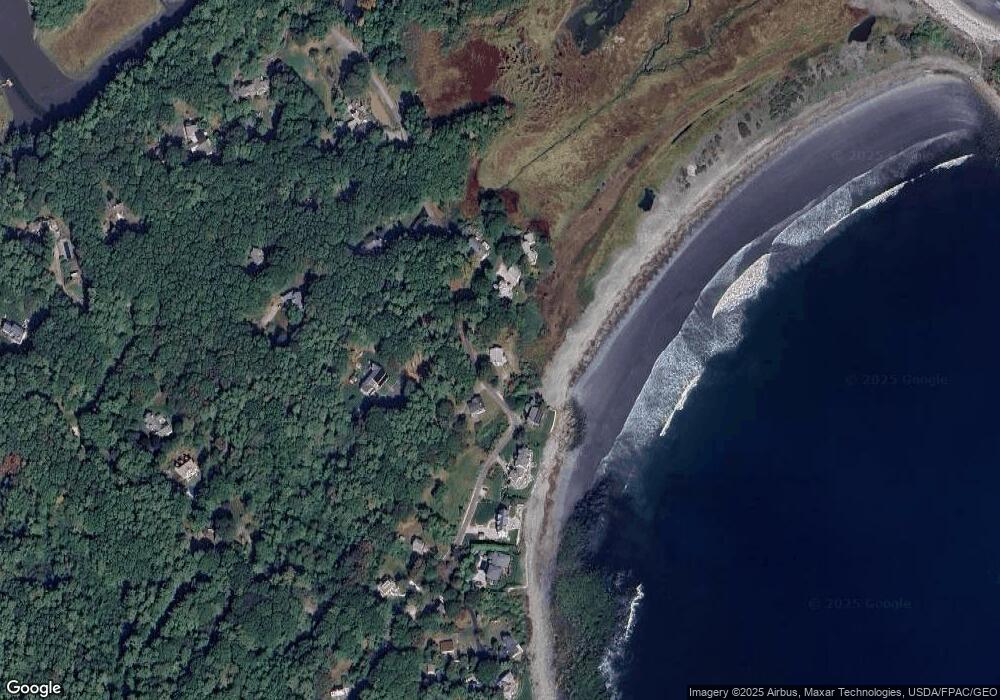
Map
Nearby Homes
- 52 Goodwin Rd
- 112 Brave Boat Harbor Rd
- 25 Bartlett Rd
- 2 Washburn Farm Ln Unit 1
- 7 Washburn Farm Ln Unit 9
- 12 Washburn Farm Ln Unit 3
- 18 Washburn Farm Ln Unit 4
- 24 Seabreeze Ln
- 13 Washburn Farm Ln Unit 7
- 3 Izzy Ln
- 18 Mainmast Cir
- 50 Lewis Rd
- 2 Woodside Meadow Rd
- 8 Spruce Point Rd
- 12 Gillis Dr Unit 3
- 10 Blueberry Ln
- 4 Ice House Point
- 30 Drake Ln
- 8 Grover Ave
- 8 Grover Ln
Your Personal Tour Guide
Ask me questions while you tour the home.