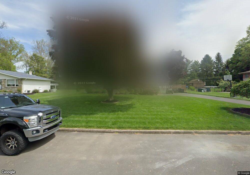
69 Upland Dr Southampton, PA 18966
Estimated Value: $605,000 - $733,000
3
Beds
4
Baths
2,128
Sq Ft
$306/Sq Ft
Est. Value
About This Home
This home is located at 69 Upland Dr, Southampton, PA 18966 and is currently estimated at $651,112, approximately $305 per square foot. 69 Upland Dr is a home located in Bucks County with nearby schools including Maureen M. Welch Elementary School, Richboro Middle School, and Council Rock High School - South.
Ownership History
Date
Name
Owned For
Owner Type
Purchase Details
Closed on
Feb 26, 2024
Sold by
Lucas Wayne A
Bought by
Mccann Holly J
Current Estimated Value
Purchase Details
Closed on
Mar 7, 2014
Sold by
Lucas Edwin J and Lucas Wayne A
Bought by
Lucas Wayne A
Purchase Details
Closed on
Jun 14, 2010
Sold by
Lucas Edwin J and Lucas Wayne A
Bought by
Lucas Edwin J and Lucas Wayne A
Purchase Details
Closed on
Jul 16, 2008
Sold by
Lucas Agnes M
Bought by
Lucas Edwin J and Lucas Wayne A
Create a Home Valuation Report for This Property
The Home Valuation Report is an in-depth analysis detailing your home's value as well as a comparison with similar homes in the area
Home Values in the Area
Average Home Value in this Area
Purchase History
| Date | Buyer | Sale Price | Title Company |
|---|---|---|---|
| Mccann Holly J | -- | None Listed On Document | |
| Lucas Wayne A | -- | None Available | |
| Lucas Edwin J | -- | None Available | |
| Lucas Edwin J | -- | Accommodation |
Source: Public Records
Tax History Compared to Growth
Tax History
| Year | Tax Paid | Tax Assessment Tax Assessment Total Assessment is a certain percentage of the fair market value that is determined by local assessors to be the total taxable value of land and additions on the property. | Land | Improvement |
|---|---|---|---|---|
| 2025 | $6,556 | $34,040 | $5,840 | $28,200 |
| 2024 | $6,556 | $34,040 | $5,840 | $28,200 |
| 2023 | $6,179 | $34,040 | $5,840 | $28,200 |
| 2022 | $6,123 | $34,040 | $5,840 | $28,200 |
| 2021 | $5,929 | $34,040 | $5,840 | $28,200 |
| 2020 | $5,796 | $34,040 | $5,840 | $28,200 |
| 2019 | $4,693 | $28,800 | $5,840 | $22,960 |
| 2018 | $4,610 | $28,800 | $5,840 | $22,960 |
| 2017 | $4,432 | $28,800 | $5,840 | $22,960 |
| 2016 | $4,432 | $28,800 | $5,840 | $22,960 |
| 2015 | -- | $28,800 | $5,840 | $22,960 |
| 2014 | -- | $28,800 | $5,840 | $22,960 |
Source: Public Records
Map
Nearby Homes
- 29 Devon Rd
- 448 W Bristol Rd
- 1310 Dennis Rd
- 225 Green Dr
- 215 Surrey Rd
- 249 New Rd
- 559 Maple Ave
- 18 Daffodil Dr
- 371 N 2nd Street Pike
- 955 Bristol Rd
- 161 New Rd
- 1495 Estate Ln
- 800 New Rd
- 67 Woodland Dr
- 148 Laurel Rd
- 47 Creek Rd
- 1031 Willopenn Dr
- 55 Mount Pleasant Dr
- 1020 Pennsylvania Ave
- 534 Holly Knoll Dr