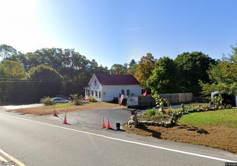
69 W Main St Warner, NH 03278
Estimated Value: $348,000 - $474,000
2
Beds
2
Baths
1,131
Sq Ft
$352/Sq Ft
Est. Value
About This Home
This home is located at 69 W Main St, Warner, NH 03278 and is currently estimated at $398,265, approximately $352 per square foot. 69 W Main St is a home with nearby schools including Simonds Elementary School, Kearsarge Regional Middle School, and Kearsarge Regional High School.
Ownership History
Date
Name
Owned For
Owner Type
Purchase Details
Closed on
Dec 14, 2007
Sold by
Volinogle Kevin R and Volinogle Alyssa B
Bought by
Sneck Susan J
Current Estimated Value
Home Financials for this Owner
Home Financials are based on the most recent Mortgage that was taken out on this home.
Original Mortgage
$110,000
Interest Rate
6.3%
Purchase Details
Closed on
Sep 25, 2000
Sold by
Steacie Kimberly D
Bought by
Smith Thomas D and Smith Rebecca J
Home Financials for this Owner
Home Financials are based on the most recent Mortgage that was taken out on this home.
Original Mortgage
$116,351
Interest Rate
8%
Create a Home Valuation Report for This Property
The Home Valuation Report is an in-depth analysis detailing your home's value as well as a comparison with similar homes in the area
Home Values in the Area
Average Home Value in this Area
Purchase History
| Date | Buyer | Sale Price | Title Company |
|---|---|---|---|
| Sneck Susan J | $200,000 | -- | |
| Smith Thomas D | $117,000 | -- |
Source: Public Records
Mortgage History
| Date | Status | Borrower | Loan Amount |
|---|---|---|---|
| Open | Smith Thomas D | $146,400 | |
| Closed | Smith Thomas D | $155,000 | |
| Closed | Smith Thomas D | $110,000 | |
| Previous Owner | Smith Thomas D | $116,351 |
Source: Public Records
Tax History
| Year | Tax Paid | Tax Assessment Tax Assessment Total Assessment is a certain percentage of the fair market value that is determined by local assessors to be the total taxable value of land and additions on the property. | Land | Improvement |
|---|---|---|---|---|
| 2025 | $5,724 | $330,500 | $127,700 | $202,800 |
| 2024 | $8,455 | $273,700 | $147,700 | $126,000 |
| 2023 | $5,574 | $175,720 | $79,320 | $96,400 |
| 2016 | $4,804 | $175,720 | $79,320 | $96,400 |
| 2015 | $4,681 | $175,720 | $79,320 | $96,400 |
| 2011 | $4,621 | $185,050 | $87,420 | $97,630 |
Source: Public Records
Map
Nearby Homes
- 0 Waldron Hill Rd Unit 30-2-3
- 0 Waldron Hill Rd Unit 30-2-4
- 92 Waterloo St
- 24 Willaby Colby Ln
- 1 Gridley St
- 5 Gridley St
- lot 6 Gridley St
- 168 Route 103 E
- 00 Birch Hill Rd Unit 579-465
- Map 03 Lot 89 Route 127
- 0 Bagley Hill Rd
- 298 Battle St
- 11 White Plains Rd
- 547 Tyler Rd
- 312 North Rd
- 183 Breezy Hill Rd
- 36 Oakdale Rd
- 63 Evergreen Ln
- 25 Sunset Dr
- 30 Evergreen Ln
Your Personal Tour Guide
Ask me questions while you tour the home.