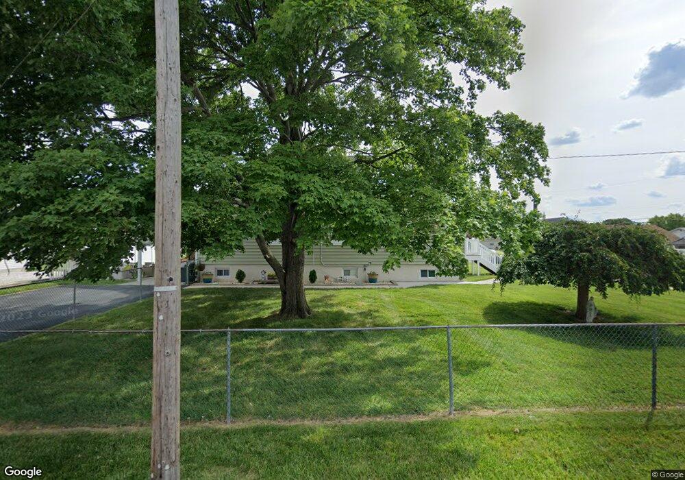
6901 Mccomas Rd Sparrows Point, MD 21219
Estimated Value: $568,000 - $627,000
Studio
3
Baths
2,876
Sq Ft
$204/Sq Ft
Est. Value
About This Home
This home is located at 6901 Mccomas Rd, Sparrows Point, MD 21219 and is currently estimated at $586,475, approximately $203 per square foot. 6901 Mccomas Rd is a home located in Baltimore County with nearby schools including Edgemere Elementary School, Sparrows Point Middle School, and Sparrows Point High School.
Ownership History
Date
Name
Owned For
Owner Type
Purchase Details
Closed on
Sep 16, 2004
Sold by
Erson Billy Robert
Bought by
Douglas Joseph F and Douglas Linda M
Current Estimated Value
Purchase Details
Closed on
Jun 28, 1999
Sold by
Hutchins Edward Michael
Bought by
Anderson Billy Robert and Anderson Catherine Jo
Purchase Details
Closed on
Jun 16, 1999
Sold by
Hutchins Edward Michael
Bought by
Hutchins Edward Michael and Hutchins Melody R
Create a Home Valuation Report for This Property
The Home Valuation Report is an in-depth analysis detailing your home's value as well as a comparison with similar homes in the area
Home Values in the Area
Average Home Value in this Area
Purchase History
| Date | Buyer | Sale Price | Title Company |
|---|---|---|---|
| Douglas Joseph F | $329,000 | -- | |
| Anderson Billy Robert | $31,500 | -- | |
| Hutchins Edward Michael | -- | -- |
Source: Public Records
Tax History
| Year | Tax Paid | Tax Assessment Tax Assessment Total Assessment is a certain percentage of the fair market value that is determined by local assessors to be the total taxable value of land and additions on the property. | Land | Improvement |
|---|---|---|---|---|
| 2025 | $8,555 | $490,133 | -- | -- |
| 2024 | $8,555 | $482,967 | $0 | $0 |
| 2023 | $2,761 | $475,800 | $74,700 | $401,100 |
| 2022 | $5,249 | $440,933 | $0 | $0 |
| 2021 | $5,272 | $406,067 | $0 | $0 |
| 2020 | $3,615 | $371,200 | $74,700 | $296,500 |
| 2019 | $4,419 | $364,633 | $0 | $0 |
| 2018 | $4,832 | $358,067 | $0 | $0 |
| 2017 | $4,643 | $351,500 | $0 | $0 |
| 2016 | $3,790 | $343,700 | $0 | $0 |
| 2015 | $3,790 | $335,900 | $0 | $0 |
| 2014 | $3,790 | $328,100 | $0 | $0 |
Source: Public Records
Map
Nearby Homes
- 3118 Lynch Rd
- 3207 Whiteway Rd
- 6510 N Point Rd
- 2524 Sycamore Ave
- 2542 Sycamore Ave
- 6913 River Drive Rd
- 6931 River Drive Rd
- 2621 N Snyder Ave
- 2318 Ruth Ave
- 2636 Haddaway Rd
- 2400 Lincoln Ave Unit 2
- 2400 Lincoln Ave Unit 15
- 2904 Shaws Rd
- 0 Lodge Farm Rd
- 2513 Wagner Ave
- 2504 Oak Manor Rd
- 3044 Shaws Rd
- 2920 Waterfront Way
- 2926 Waterfront Way
- 2408 Woodridge Rd
