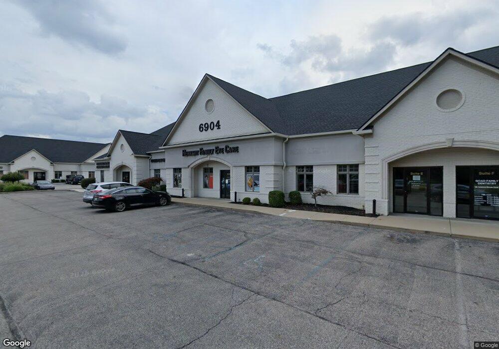
6904 S East St Unit LOHR Indianapolis, IN 46227
Linden Wood NeighborhoodEstimated Value: $298,000 - $337,000
--
Bed
2
Baths
2,500
Sq Ft
$127/Sq Ft
Est. Value
About This Home
This home is located at 6904 S East St Unit LOHR, Indianapolis, IN 46227 and is currently estimated at $317,145, approximately $126 per square foot. 6904 S East St Unit LOHR is a home located in Marion County with nearby schools including William Henry Burkhart Elementary School, Perry Meridian 6th Grade Academy, and Perry Meridian Middle School.
Ownership History
Date
Name
Owned For
Owner Type
Purchase Details
Closed on
May 4, 2005
Sold by
Thatch Samuel and Thatch Gina Marie
Bought by
Hill Martin
Current Estimated Value
Home Financials for this Owner
Home Financials are based on the most recent Mortgage that was taken out on this home.
Original Mortgage
$122,720
Outstanding Balance
$65,175
Interest Rate
6.13%
Mortgage Type
New Conventional
Estimated Equity
$251,970
Create a Home Valuation Report for This Property
The Home Valuation Report is an in-depth analysis detailing your home's value as well as a comparison with similar homes in the area
Home Values in the Area
Average Home Value in this Area
Purchase History
| Date | Buyer | Sale Price | Title Company |
|---|---|---|---|
| Hill Martin | -- | None Available |
Source: Public Records
Mortgage History
| Date | Status | Borrower | Loan Amount |
|---|---|---|---|
| Open | Hill Martin | $122,720 |
Source: Public Records
Tax History Compared to Growth
Tax History
| Year | Tax Paid | Tax Assessment Tax Assessment Total Assessment is a certain percentage of the fair market value that is determined by local assessors to be the total taxable value of land and additions on the property. | Land | Improvement |
|---|---|---|---|---|
| 2024 | $3,498 | $303,900 | $24,300 | $279,600 |
| 2023 | $3,498 | $267,500 | $24,300 | $243,200 |
| 2022 | $3,365 | $251,500 | $24,300 | $227,200 |
| 2021 | $3,022 | $206,600 | $24,300 | $182,300 |
| 2020 | $2,610 | $188,100 | $24,300 | $163,800 |
| 2019 | $2,493 | $180,200 | $24,300 | $155,900 |
| 2018 | $1,977 | $162,600 | $24,300 | $138,300 |
| 2017 | $2,054 | $148,700 | $24,300 | $124,400 |
| 2016 | $1,946 | $148,700 | $24,300 | $124,400 |
| 2014 | $2,716 | $135,800 | $24,300 | $111,500 |
| 2013 | $2,708 | $134,400 | $24,300 | $110,100 |
Source: Public Records
Map
Nearby Homes
- 410 E Southport Rd
- 6643 S New Jersey St
- 6560 Hi Vu Dr
- 232 Bangor Dr
- 931 Maynard Dr
- 6712 Forrest Commons Blvd
- 6520 Forrest Commons Blvd
- 125 E Waterbury Rd
- 234 E Hickory Ln
- 27 Forrests Edge Ct
- 115 Jordan Rd
- 246 Griffin Rd
- 7528 S New Jersey St
- 618 Reda Rd
- 20 Forrests Edge Ct
- 418 E Beechwood Ln
- 7525 Surrey Dr
- 7645 Lindenwood Dr
- 136 W Loretta Dr
- 7445 Melanie Ln
- 6904 S East St Unit Suite E
- 6905 Ransdell St
- 6915 Ransdell St
- 6845 Ransdell St
- 6838 S East St
- 6845 Ransdell St
- 6920 S East St
- 6925 Ransdell St
- 6835 Ransdell St
- 6835 Ransdell St
- 6933 Ransdell St
- 6916 Ransdell St
- 6825 Ransdell St
- 6902 Ransdell St
- 510 B E Southport Rd
- 6840 Ransdell St
- 510 E Southport Rd
- 427 E Venoy Dr
- 6943 Ransdell St
- 6830 Ransdell St