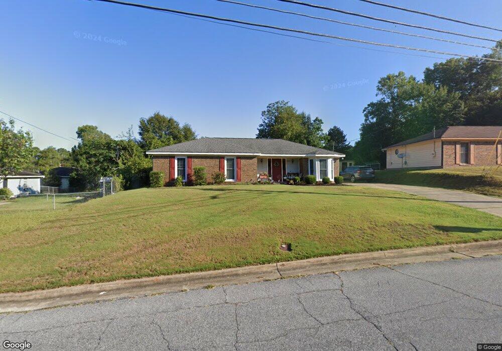
6905 Dorsey Dr Columbus, GA 31907
Eastern Columbus NeighborhoodEstimated Value: $139,000 - $150,000
3
Beds
3
Baths
1,435
Sq Ft
$102/Sq Ft
Est. Value
About This Home
This home is located at 6905 Dorsey Dr, Columbus, GA 31907 and is currently estimated at $146,711, approximately $102 per square foot. 6905 Dorsey Dr is a home located in Muscogee County with nearby schools including Georgetown Elementary School, East Columbus Magnet Academy, and Kendrick High School.
Ownership History
Date
Name
Owned For
Owner Type
Purchase Details
Closed on
Apr 12, 2007
Sold by
Favre Alan Mathew and Favre Rhonda R
Bought by
Richardson Elisha M
Current Estimated Value
Home Financials for this Owner
Home Financials are based on the most recent Mortgage that was taken out on this home.
Original Mortgage
$100,000
Outstanding Balance
$60,463
Interest Rate
6.15%
Mortgage Type
Purchase Money Mortgage
Estimated Equity
$86,248
Create a Home Valuation Report for This Property
The Home Valuation Report is an in-depth analysis detailing your home's value as well as a comparison with similar homes in the area
Home Values in the Area
Average Home Value in this Area
Purchase History
| Date | Buyer | Sale Price | Title Company |
|---|---|---|---|
| Richardson Elisha M | $100,000 | None Available |
Source: Public Records
Mortgage History
| Date | Status | Borrower | Loan Amount |
|---|---|---|---|
| Open | Richardson Elisha M | $100,000 |
Source: Public Records
Tax History Compared to Growth
Tax History
| Year | Tax Paid | Tax Assessment Tax Assessment Total Assessment is a certain percentage of the fair market value that is determined by local assessors to be the total taxable value of land and additions on the property. | Land | Improvement |
|---|---|---|---|---|
| 2025 | $1,049 | $52,204 | $9,808 | $42,396 |
| 2024 | $105 | $48,004 | $9,808 | $38,196 |
| 2023 | $360 | $48,004 | $9,808 | $38,196 |
| 2022 | $1,092 | $36,448 | $9,808 | $26,640 |
| 2021 | $1,086 | $31,212 | $9,808 | $21,404 |
| 2020 | $1,086 | $31,212 | $9,808 | $21,404 |
| 2019 | $1,091 | $31,212 | $9,808 | $21,404 |
| 2018 | $1,091 | $31,212 | $9,808 | $21,404 |
| 2017 | $1,096 | $31,212 | $9,808 | $21,404 |
| 2016 | $1,102 | $39,976 | $5,400 | $34,576 |
| 2015 | $1,103 | $39,976 | $5,400 | $34,576 |
| 2014 | $1,105 | $39,976 | $5,400 | $34,576 |
| 2013 | -- | $39,976 | $5,400 | $34,576 |
Source: Public Records
Map
Nearby Homes
- 6620 Cove Cir
- 1826 Woodhollow Dr
- 2216 Hunter Ct
- 1925 Woodhollow Dr
- 1754 Mazor Dr
- 1607 Mazor Dr
- 1322 Melford Dr
- 6916 Bradshaw Dr
- 2737 Schatulga Rd
- 6213 Fitzgerald Dr
- 2735 Schatulga Rd
- 6915 Forrest Rd
- 6188 Valencia Dr
- 2708 Courtland Ave
- 3041 Waddell Dr
- 6119 Mill Branch Rd
- 6047 Capri Cir
- 1111 Richland Dr
- 6032 Cordova Rd
- 6061 Luna Dr
- 6909 Dorsey Dr
- 6821 Playfield Dr
- 6817 Playfield Dr
- 692 Apricot Ct
- 6813 Playfield Dr
- 6913 Dorsey Dr
- 694 Apricot Ct
- 6904 Dorsey Dr
- 6900 Dorsey Dr
- 6809 Playfield Dr
- 6912 Dorsey Dr
- 6917 Dorsey Dr
- 688 Apricot Ct
- 6842 Playfield Dr
- 697 Apricot Ct
- 6836 Playfield Dr
- 6830 Playfield Dr
- 6805 Playfield Dr
- 6916 Dorsey Dr
- 6758 Dorsey Dr