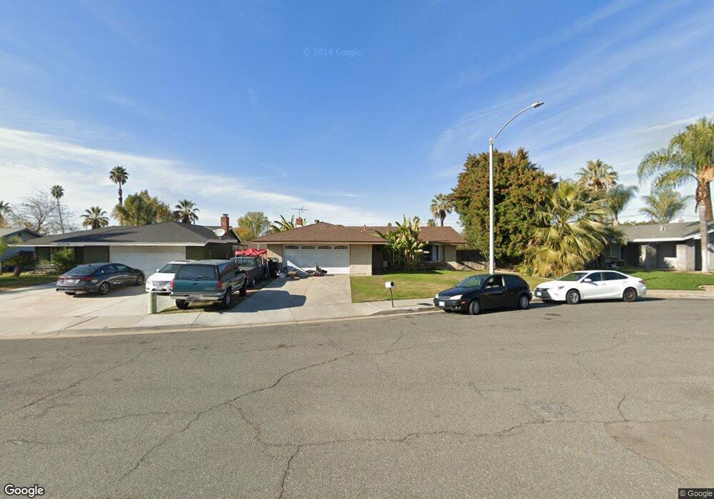
6919 Viking Ct Riverside, CA 92506
Estimated Value: $525,000 - $604,000
3
Beds
2
Baths
1,110
Sq Ft
$510/Sq Ft
Est. Value
About This Home
This home is located at 6919 Viking Ct, Riverside, CA 92506 and is currently estimated at $566,601, approximately $510 per square foot. 6919 Viking Ct is a home located in Riverside County with nearby schools including Washington Elementary School, Matthew Gage Middle School, and Arlington High School.
Ownership History
Date
Name
Owned For
Owner Type
Purchase Details
Closed on
Mar 31, 2011
Sold by
Merlin Richard A
Bought by
Merlin Richard A and The Merlin Family Trust
Current Estimated Value
Purchase Details
Closed on
Sep 15, 1993
Sold by
Morell Patrick
Bought by
Merlin Richard A
Home Financials for this Owner
Home Financials are based on the most recent Mortgage that was taken out on this home.
Original Mortgage
$99,000
Interest Rate
7.13%
Mortgage Type
Assumption
Create a Home Valuation Report for This Property
The Home Valuation Report is an in-depth analysis detailing your home's value as well as a comparison with similar homes in the area
Home Values in the Area
Average Home Value in this Area
Purchase History
| Date | Buyer | Sale Price | Title Company |
|---|---|---|---|
| Merlin Richard A | -- | None Available | |
| Merlin Richard A | $110,000 | Gateway Title |
Source: Public Records
Mortgage History
| Date | Status | Borrower | Loan Amount |
|---|---|---|---|
| Closed | Merlin Richard A | $99,000 |
Source: Public Records
Tax History Compared to Growth
Tax History
| Year | Tax Paid | Tax Assessment Tax Assessment Total Assessment is a certain percentage of the fair market value that is determined by local assessors to be the total taxable value of land and additions on the property. | Land | Improvement |
|---|---|---|---|---|
| 2025 | $2,072 | $186,922 | $59,468 | $127,454 |
| 2023 | $2,072 | $179,664 | $57,159 | $122,505 |
| 2022 | $2,026 | $176,142 | $56,039 | $120,103 |
| 2021 | $2,011 | $172,690 | $54,941 | $117,749 |
| 2020 | $1,996 | $170,920 | $54,378 | $116,542 |
| 2019 | $1,959 | $167,569 | $53,312 | $114,257 |
| 2018 | $1,922 | $164,284 | $52,267 | $112,017 |
| 2017 | $1,888 | $161,064 | $51,243 | $109,821 |
| 2016 | $1,770 | $157,907 | $50,239 | $107,668 |
| 2015 | $1,745 | $155,537 | $49,486 | $106,051 |
| 2014 | $1,728 | $152,492 | $48,517 | $103,975 |
Source: Public Records
Map
Nearby Homes
- 7042 Rainbow Ct
- 3036 Miguel St
- 7073 New Mexico Dr
- 6952 Coolidge Ave
- 7270 Fiesta Ave
- 2527 Cortina Dr
- 3180 Jane St
- 3179 Jane St
- 3133 Juanita St
- 7038 Indiana Ave
- 7050 Indiana Ave
- 6539 Marguerita Ave
- 6529 Marguerita Ave
- 7307 Diamond St
- 2636 Maude St
- 7450 Emerald St
- 2330 Peppertree Ln
- 7035 Edgewild Dr
- 2390 Prenda Ave
- 3401 Arlington Ave
- 6929 Viking Ct
- 6909 Viking Ct
- 6916 Lincoln Ave
- 6906 Lincoln Ave
- 6926 Lincoln Ave
- 6939 Viking Ct
- 6936 Lincoln Ave
- 6914 Viking Ct
- 6904 Viking Ct
- 6924 Viking Ct
- 6949 Viking Ct
- 6934 Viking Ct
- 6946 Lincoln Ave
- 6944 Viking Ct
- 6959 Viking Ct
- 6917 Goodview Ave
- 6927 Goodview Ave
- 6956 Lincoln Ave
- 6907 Goodview Ave
- 6937 Goodview Ave