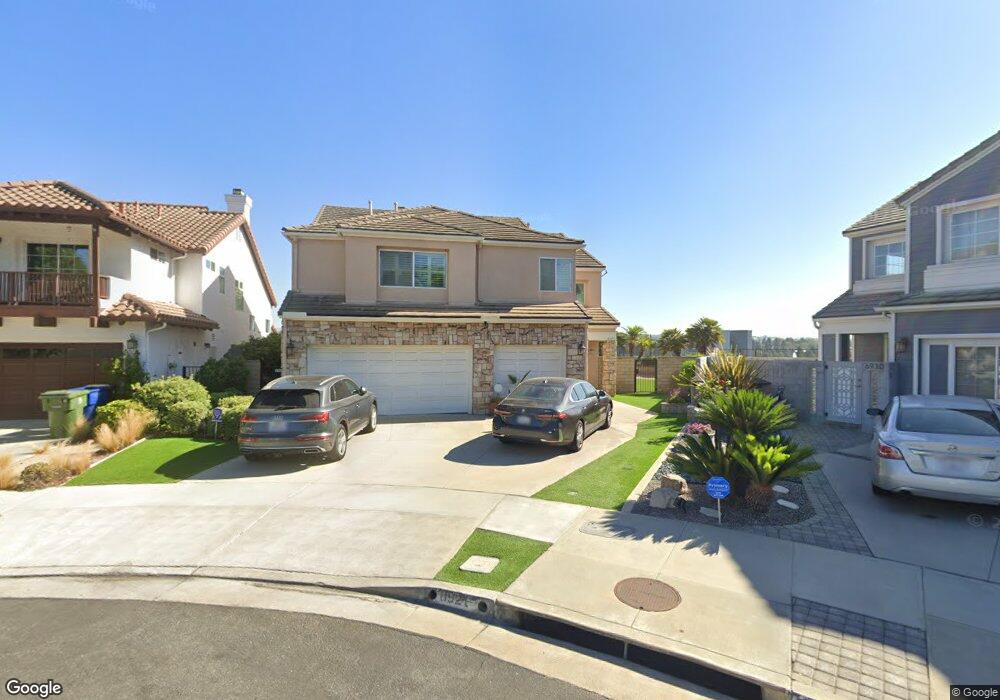
6921 Kentwood Ct Los Angeles, CA 90045
Westchester NeighborhoodEstimated Value: $2,533,790 - $2,800,000
3
Beds
4
Baths
2,521
Sq Ft
$1,059/Sq Ft
Est. Value
About This Home
This home is located at 6921 Kentwood Ct, Los Angeles, CA 90045 and is currently estimated at $2,669,948, approximately $1,059 per square foot. 6921 Kentwood Ct is a home located in Los Angeles County with nearby schools including Cowan Avenue Elementary School, Wright Middle School STEAM Magnet, and Westchester Enriched Sciences Magnets.
Ownership History
Date
Name
Owned For
Owner Type
Purchase Details
Closed on
May 17, 1994
Sold by
The Regents Of University Of California
Bought by
Catullo Francesco
Current Estimated Value
Home Financials for this Owner
Home Financials are based on the most recent Mortgage that was taken out on this home.
Original Mortgage
$383,992
Interest Rate
4.5%
Create a Home Valuation Report for This Property
The Home Valuation Report is an in-depth analysis detailing your home's value as well as a comparison with similar homes in the area
Home Values in the Area
Average Home Value in this Area
Purchase History
| Date | Buyer | Sale Price | Title Company |
|---|---|---|---|
| Catullo Francesco | $480,000 | Continental Lawyers Title |
Source: Public Records
Mortgage History
| Date | Status | Borrower | Loan Amount |
|---|---|---|---|
| Previous Owner | Catullo Francesco | $383,992 |
Source: Public Records
Tax History Compared to Growth
Tax History
| Year | Tax Paid | Tax Assessment Tax Assessment Total Assessment is a certain percentage of the fair market value that is determined by local assessors to be the total taxable value of land and additions on the property. | Land | Improvement |
|---|---|---|---|---|
| 2025 | $10,566 | $871,023 | $322,491 | $548,532 |
| 2024 | $10,566 | $853,945 | $316,168 | $537,777 |
| 2023 | $10,366 | $837,202 | $309,969 | $527,233 |
| 2022 | $9,891 | $820,788 | $303,892 | $516,896 |
| 2021 | $9,759 | $804,695 | $297,934 | $506,761 |
| 2019 | $9,468 | $780,830 | $289,099 | $491,731 |
| 2018 | $9,385 | $765,521 | $283,431 | $482,090 |
| 2016 | $8,961 | $735,797 | $272,426 | $463,371 |
| 2015 | $8,831 | $724,745 | $268,334 | $456,411 |
| 2014 | $8,864 | $710,549 | $263,078 | $447,471 |
Source: Public Records
Map
Nearby Homes
- 7024 Kentwood Ave
- 6534 Kentwood Bluffs Dr
- 6882 Arizona Ave
- 6376 Nancy St
- 7404 Kentwood Ave
- 11814 Beatrice St
- 6427 Hedding St
- 7449 Kentwood Ave
- 7221 Arizona Ave
- 5875 Doverwood Dr Unit 106
- 5870 Green Valley Cir Unit 327
- 5845 Doverwood Dr Unit 302
- 11946 Aneta St
- 11521 Segrell Way
- 5358 Inglewood Blvd
- 11462 Patom Dr
- 6545 Green Valley Cir Unit 307
- 6154 W 75th Place
- 7733 Henefer Ave
- 6305 Green Valley Cir Unit 111
- 6927 Kentwood Ct
- 6930 Kentwood Ct
- 6937 Kentwood Ct
- 6923 Kentwood Ct
- 6947 Kentwood Ct
- 6917 Kentwood Ct
- 6936 Kentwood Ct
- 6537 Riggs Place
- 7005 Kentwood Ct
- 6531 Riggs Place
- 7009 Kentwood Ct
- 7002 Kentwood Ct
- 6523 Riggs Place
- 7017 Kentwood Ct
- 6517 Riggs Place
- 7016 Kentwood Ct
- 6536 Riggs Place
- 7021 Kentwood Ct
- 6530 Riggs Place
- 7027 Kentwood Ct