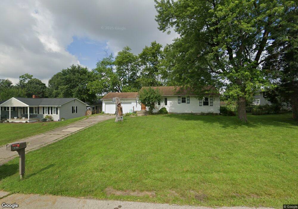
6921 Logsdon Rd Hamilton, OH 45011
Fairfield Township NeighborhoodEstimated Value: $184,000 - $241,000
3
Beds
2
Baths
1,040
Sq Ft
$209/Sq Ft
Est. Value
About This Home
This home is located at 6921 Logsdon Rd, Hamilton, OH 45011 and is currently estimated at $217,600, approximately $209 per square foot. 6921 Logsdon Rd is a home located in Butler County with nearby schools including Fairfield East Elementary School, Creekside Middle School, and Fairfield Senior High School.
Ownership History
Date
Name
Owned For
Owner Type
Purchase Details
Closed on
Sep 29, 2011
Sold by
Phh Mortgage Corporation
Bought by
Boeddeker Timothy S
Current Estimated Value
Purchase Details
Closed on
Jun 17, 2011
Sold by
Parshall Aprile M
Bought by
Phh Mortgage Corporation
Purchase Details
Closed on
Sep 8, 2005
Sold by
Callahan Annie Sester and Callahan Annie S
Bought by
Parshall Aprile M
Home Financials for this Owner
Home Financials are based on the most recent Mortgage that was taken out on this home.
Original Mortgage
$120,000
Interest Rate
5.89%
Mortgage Type
Fannie Mae Freddie Mac
Purchase Details
Closed on
Jan 7, 2000
Sold by
Kuhn William C
Bought by
Callahan Annie Sester
Home Financials for this Owner
Home Financials are based on the most recent Mortgage that was taken out on this home.
Original Mortgage
$40,000
Interest Rate
7.62%
Mortgage Type
Purchase Money Mortgage
Create a Home Valuation Report for This Property
The Home Valuation Report is an in-depth analysis detailing your home's value as well as a comparison with similar homes in the area
Home Values in the Area
Average Home Value in this Area
Purchase History
| Date | Buyer | Sale Price | Title Company |
|---|---|---|---|
| Boeddeker Timothy S | $50,000 | Attorney | |
| Phh Mortgage Corporation | $68,200 | None Available | |
| Parshall Aprile M | $150,000 | Midland Title Security Inc | |
| Callahan Annie Sester | $77,000 | -- |
Source: Public Records
Mortgage History
| Date | Status | Borrower | Loan Amount |
|---|---|---|---|
| Previous Owner | Parshall Aprile M | $120,000 | |
| Previous Owner | Callahan Annie Sester | $40,000 |
Source: Public Records
Tax History Compared to Growth
Tax History
| Year | Tax Paid | Tax Assessment Tax Assessment Total Assessment is a certain percentage of the fair market value that is determined by local assessors to be the total taxable value of land and additions on the property. | Land | Improvement |
|---|---|---|---|---|
| 2024 | $1,975 | $51,810 | $10,720 | $41,090 |
| 2023 | $1,958 | $51,810 | $10,720 | $41,090 |
| 2022 | $1,965 | $38,410 | $10,720 | $27,690 |
| 2021 | $1,781 | $36,840 | $10,720 | $26,120 |
| 2020 | $1,845 | $36,840 | $10,720 | $26,120 |
| 2019 | $1,752 | $30,210 | $10,100 | $20,110 |
| 2018 | $1,724 | $30,210 | $10,100 | $20,110 |
| 2017 | $1,739 | $30,210 | $10,100 | $20,110 |
| 2016 | $1,802 | $29,670 | $10,100 | $19,570 |
| 2015 | $1,789 | $29,670 | $10,100 | $19,570 |
| 2014 | $1,840 | $29,670 | $10,100 | $19,570 |
| 2013 | $1,840 | $33,770 | $10,100 | $23,670 |
Source: Public Records
Map
Nearby Homes
- 3462 Elbert Dr
- 7225 Woodberry Dr
- 6942 Morris Rd
- 7010 Morris Rd
- 3601 Winter Hill Dr
- 7034 Medford Ct
- 3657 Charfield Ln
- 0 Princeton Unit 1824961
- 6416 Sara Ct
- 7397 Chateauguay Dr
- 6312 Sara Ct
- 6384 Fox Lake Ct
- 6864 Beagle Dr
- 6478 Holly Ln
- 6731 Forest Hill Ln
- 3946 Hamilton Mason Rd
- 7598 Mourning Dove Ln
- 7075 Ashwood Knolls Dr
- 7899 Jessies Way
- 7708 Mourning Dove Ln
- 6931 Logsdon Rd
- 6911 Logsdon Rd
- 6941 Logsdon Rd
- 6920 Logsdon Rd
- 6901 Logsdon Rd
- 6930 Logsdon Rd
- 6910 Logsdon Rd
- 6951 Logsdon Rd
- 6940 Logsdon Rd
- 6900 Logsdon Rd
- 6950 Logsdon Rd
- 6961 Logsdon Rd
- 3363 Wood Ct
- 3373 Wood Ct
- 3353 Wood Ct
- 6960 Logsdon Rd
- 3383 Wood Ct
- 3382 Elbert Dr
- 3393 Wood Ct
- 3364 Wood Ct