6924 Pear Tree Dr Carlsbad, CA 92011
Poinsettia NeighborhoodEstimated Value: $932,000 - $1,041,000
2
Beds
3
Baths
1,292
Sq Ft
$747/Sq Ft
Est. Value
About This Home
This home is located at 6924 Pear Tree Dr, Carlsbad, CA 92011 and is currently estimated at $964,717, approximately $746 per square foot. 6924 Pear Tree Dr is a home located in San Diego County with nearby schools including Pacific Rim Elementary, Aviara Oaks Middle, and Sage Creek High.
Ownership History
Date
Name
Owned For
Owner Type
Purchase Details
Closed on
Aug 4, 2011
Sold by
Dickin John
Bought by
Dickin John F and Dickin Sherry L
Current Estimated Value
Purchase Details
Closed on
Jun 26, 1992
Bought by
Dickin John
Purchase Details
Closed on
May 30, 1986
Create a Home Valuation Report for This Property
The Home Valuation Report is an in-depth analysis detailing your home's value as well as a comparison with similar homes in the area
Home Values in the Area
Average Home Value in this Area
Purchase History
| Date | Buyer | Sale Price | Title Company |
|---|---|---|---|
| Dickin John F | -- | None Available | |
| Dickin John | $169,000 | -- | |
| -- | $101,500 | -- |
Source: Public Records
Tax History Compared to Growth
Tax History
| Year | Tax Paid | Tax Assessment Tax Assessment Total Assessment is a certain percentage of the fair market value that is determined by local assessors to be the total taxable value of land and additions on the property. | Land | Improvement |
|---|---|---|---|---|
| 2025 | $3,182 | $298,814 | $88,393 | $210,421 |
| 2024 | $3,182 | $292,956 | $86,660 | $206,296 |
| 2023 | $3,165 | $287,212 | $84,961 | $202,251 |
| 2022 | $3,116 | $281,582 | $83,296 | $198,286 |
| 2021 | $3,093 | $276,062 | $81,663 | $194,399 |
| 2020 | $3,073 | $273,232 | $80,826 | $192,406 |
| 2019 | $3,018 | $267,876 | $79,242 | $188,634 |
| 2018 | $2,817 | $262,625 | $77,689 | $184,936 |
| 2017 | $90 | $257,476 | $76,166 | $181,310 |
| 2016 | $2,656 | $252,428 | $74,673 | $177,755 |
| 2015 | $2,645 | $248,637 | $73,552 | $175,085 |
| 2014 | $2,600 | $243,768 | $72,112 | $171,656 |
Source: Public Records
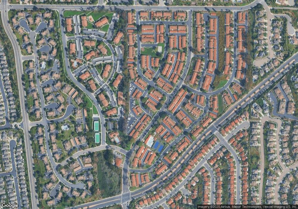
Map
Nearby Homes
- 6915 Pear Tree Dr
- 874 Marigold Ct
- 6777 Lonicera St
- 7013 Lavender Way
- 6951 Quiet Cove Dr
- 839 Skysail Ave
- 803 Skysail Ave
- 6557 Coneflower Dr
- 6925 Waters End Dr
- 909 Caminito Madrigal Unit B
- 911 Caminito Madrigal Unit E
- 7215 Daffodil Place
- 7025 San Bartolo St Unit 42
- 7232 Santa Barbara St Unit 318
- 7207 Santa Barbara St Unit 154
- 7008 San Bartolo St Unit 27
- 7002 San Bartolo St Unit 30
- 7205 Santa Barbara St Unit 153
- 7027 San Bartolo St Unit 43
- 7024 San Bartolo St Unit 19
- 6926 Pear Tree Dr
- 6922 Pear Tree Dr
- 6922 Pear Tree Dr
- 6928 Pear Tree Dr
- 6930 Pear Tree Dr
- 6932 Pear Tree Dr
- 6970 Pear Tree Dr
- 6881 Alderwood Dr Unit 3
- 6883 Alderwood Dr
- 6879 Alderwood Dr
- 6885 Alderwood Dr
- 6919 Pear Tree Dr
- 6877 Alderwood Dr
- 6921 Pear Tree Dr
- 6941 Batiquitos Dr
- 6887 Alderwood Dr
- 6909 Pear Tree Dr
- 6907 Pear Tree Dr
- 6905 Pear Tree Dr
- 6943 Batiquitos Dr