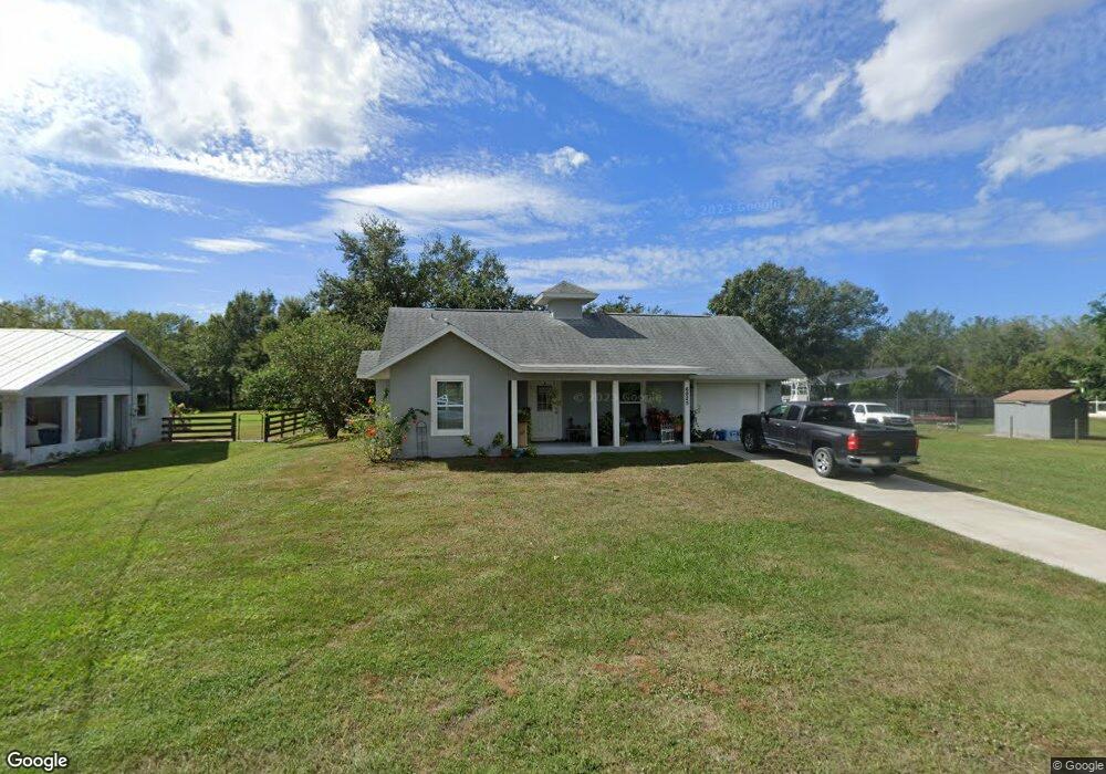
6925 120th Ave E Parrish, FL 34219
Estimated Value: $289,000 - $332,000
2
Beds
2
Baths
1,519
Sq Ft
$198/Sq Ft
Est. Value
About This Home
This home is located at 6925 120th Ave E, Parrish, FL 34219 and is currently estimated at $300,356, approximately $197 per square foot. 6925 120th Ave E is a home located in Manatee County with nearby schools including Barbara A. Harvey Elementary School, Buffalo Creek Middle School, and Parrish Community High School.
Ownership History
Date
Name
Owned For
Owner Type
Purchase Details
Closed on
Aug 24, 2021
Sold by
Mcdonald Chelsea A and Mcdonald Bradley D
Bought by
Mcdonald Chelsea A and Mcdonald Bradley D
Current Estimated Value
Home Financials for this Owner
Home Financials are based on the most recent Mortgage that was taken out on this home.
Original Mortgage
$213,000
Outstanding Balance
$193,096
Interest Rate
2.7%
Mortgage Type
New Conventional
Estimated Equity
$107,260
Purchase Details
Closed on
Jan 25, 2017
Sold by
Laffredo Amy A
Bought by
Tennant Chelsea A
Home Financials for this Owner
Home Financials are based on the most recent Mortgage that was taken out on this home.
Original Mortgage
$196,377
Interest Rate
4.25%
Mortgage Type
FHA
Purchase Details
Closed on
Apr 30, 2015
Sold by
Britt Linda P
Bought by
Laffredo Amy A
Create a Home Valuation Report for This Property
The Home Valuation Report is an in-depth analysis detailing your home's value as well as a comparison with similar homes in the area
Home Values in the Area
Average Home Value in this Area
Purchase History
| Date | Buyer | Sale Price | Title Company |
|---|---|---|---|
| Mcdonald Chelsea A | $88,936 | Tier 1 Title Llc | |
| Tennant Chelsea A | $200,000 | Attorney | |
| Laffredo Amy A | $35,000 | Heartland Title Services |
Source: Public Records
Mortgage History
| Date | Status | Borrower | Loan Amount |
|---|---|---|---|
| Open | Mcdonald Chelsea A | $213,000 | |
| Previous Owner | Tennant Chelsea A | $196,377 |
Source: Public Records
Tax History
| Year | Tax Paid | Tax Assessment Tax Assessment Total Assessment is a certain percentage of the fair market value that is determined by local assessors to be the total taxable value of land and additions on the property. | Land | Improvement |
|---|---|---|---|---|
| 2025 | $1,898 | $163,236 | -- | -- |
| 2023 | $1,898 | $154,016 | $0 | $0 |
| 2022 | $1,832 | $149,530 | $0 | $0 |
| 2021 | $1,743 | $145,175 | $0 | $0 |
| 2020 | $1,730 | $143,171 | $0 | $0 |
| 2019 | $1,693 | $139,952 | $28,500 | $111,452 |
| 2018 | $2,207 | $135,941 | $28,500 | $107,441 |
| 2017 | $1,958 | $125,918 | $0 | $0 |
| 2016 | $424 | $28,500 | $0 | $0 |
Source: Public Records
Map
Nearby Homes
- 7121 122nd Ave E
- 12300 Parrish Cemetary Rd
- 6209 116th Ave E
- 11880 Us Highway 301 N
- 6306 115th Ave E
- 6927 Indus Valley Cir
- 7107 Indus Valley Cir
- 11452 64th St E
- 6203 115th Ave E
- 12345 Parrish Cemetary Rd
- 11809 Catawba Cove
- 12346 U S 301
- 11415 61st St E
- 1628 Rio Vista Terrace
- 1517 Rio Vista Terrace
- 6307 114th Ave E
- 6413 114th Ave E
- 12310 Oak Hill Way
- 12355 Doris Rd
- 11412 78th St E
- 6919 120th Ave E
- 11955 71st St E
- 11945 71st St E
- 6920 120th Ave E
- 11930 69th St E
- 11920 69th St E
- 6912 119th Ave E
- 11910 69th St E
- 11950 69th St E
- 11925 71st St E
- 11954 71st St E
- 11944 71st St E
- 11902 69th St E
- 11924 71st St E
- 11964 71st St E
- 11842 71st St E
- 11845 71st St E
- 6915 119th Ave E
- 12006 69th St E
- 12008 71st St E
Your Personal Tour Guide
Ask me questions while you tour the home.