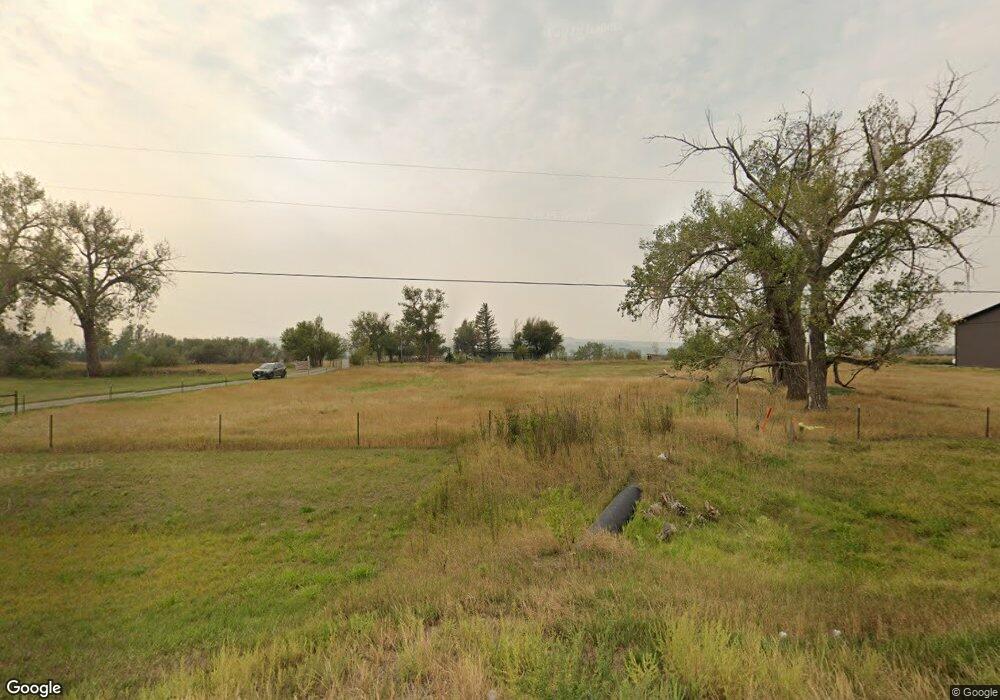
6935 Us Highway 312 Billings, MT 59105
Estimated Value: $459,000 - $471,447
3
Beds
1
Bath
1,616
Sq Ft
$288/Sq Ft
Est. Value
About This Home
This home is located at 6935 Us Highway 312, Billings, MT 59105 and is currently estimated at $466,112, approximately $288 per square foot. 6935 Us Highway 312 is a home located in Yellowstone County with nearby schools including Shepherd Elementary School, Shepherd Middle School, and Shepherd High School.
Ownership History
Date
Name
Owned For
Owner Type
Purchase Details
Closed on
Jun 1, 2006
Sold by
Savage H Ransler and Savage Edith Louise
Bought by
Donnes Frank C and Donnes Cindy E
Current Estimated Value
Purchase Details
Closed on
Apr 25, 2005
Sold by
Savagae H Ransler and Savage Edith
Bought by
Savage E Ransler and Savage Edith L
Home Financials for this Owner
Home Financials are based on the most recent Mortgage that was taken out on this home.
Original Mortgage
$85,565
Interest Rate
5.92%
Mortgage Type
New Conventional
Create a Home Valuation Report for This Property
The Home Valuation Report is an in-depth analysis detailing your home's value as well as a comparison with similar homes in the area
Home Values in the Area
Average Home Value in this Area
Purchase History
| Date | Buyer | Sale Price | Title Company |
|---|---|---|---|
| Donnes Frank C | -- | None Available | |
| Savage E Ransler | -- | None Available |
Source: Public Records
Mortgage History
| Date | Status | Borrower | Loan Amount |
|---|---|---|---|
| Previous Owner | Savage E Ransler | $85,565 |
Source: Public Records
Tax History Compared to Growth
Tax History
| Year | Tax Paid | Tax Assessment Tax Assessment Total Assessment is a certain percentage of the fair market value that is determined by local assessors to be the total taxable value of land and additions on the property. | Land | Improvement |
|---|---|---|---|---|
| 2025 | $3,124 | $404,200 | $153,175 | $251,025 |
| 2024 | $3,124 | $362,300 | $106,940 | $255,360 |
| 2023 | $3,178 | $362,300 | $106,940 | $255,360 |
| 2022 | $2,562 | $272,400 | $0 | $0 |
| 2021 | $2,679 | $272,400 | $0 | $0 |
| 2020 | $2,460 | $240,900 | $0 | $0 |
| 2019 | $2,042 | $240,900 | $0 | $0 |
| 2018 | $2,150 | $239,300 | $0 | $0 |
| 2017 | $2,110 | $239,300 | $0 | $0 |
| 2016 | $1,922 | $226,800 | $0 | $0 |
| 2015 | $1,905 | $226,800 | $0 | $0 |
| 2014 | $1,342 | $84,747 | $0 | $0 |
Source: Public Records
Map
Nearby Homes
- 6447 US Highway 312
- 5840,5850,5904 Lunder Ln
- 5510 Powmer Rd
- 4820 Maribrooke Rd
- 4935 Lewies Way
- 119 Peritse Ave
- 7133 Mustang Rd
- 5358 Yeoman Rd
- 0 Great Northern Unit 354449
- 0000 Florian Ave
- 6634 Killdeer Ln
- 1266 Chipper Ln
- L13B2 High Noon Dr
- L11B2 Rio Lobo Cir
- L11B3 High Noon Dr
- 1251 Chipper Ln
- 1246 Chipper Ln
- L12B2 High Noon Dr
- L3B4 Trumbo Cir
- L5B4 Trumbo Cir
- 7033 Us Highway 312
- 6928 Us Highway 312
- 7008 Highway 312
- 6928 Us Highway 312
- 5530 Vermillion Rd
- 6809 Us Highway 312
- 6809 Us Hwy 312
- 6850 Highway 312
- 6848 Us Highway 312
- 6848 Highway 312
- 6842 Us Highway 312
- 6842 Highway 312
- 5536 Vermillion Rd
- 5520 Eric Place
- 5731 Far View Dr
- 5522 Eric Place
- 5542 Vermillion Rd
- BLK1 LOT3 Eric Place
- BLK1 LOT5 Eric Place
- 6824 Us Highway 312