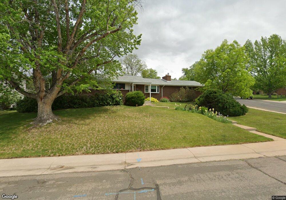
6936 S Sycamore St Littleton, CO 80120
Heritage NeighborhoodEstimated Value: $695,892 - $758,000
5
Beds
3
Baths
2,924
Sq Ft
$251/Sq Ft
Est. Value
About This Home
This home is located at 6936 S Sycamore St, Littleton, CO 80120 and is currently estimated at $735,223, approximately $251 per square foot. 6936 S Sycamore St is a home located in Arapahoe County with nearby schools including Runyon Elementary School, Euclid Middle School, and Heritage High School.
Ownership History
Date
Name
Owned For
Owner Type
Purchase Details
Closed on
Jun 10, 2009
Sold by
Wells Rick L and Estate Of Anna Mae Wells
Bought by
Munson Tom and Munson Dawn
Current Estimated Value
Home Financials for this Owner
Home Financials are based on the most recent Mortgage that was taken out on this home.
Original Mortgage
$116,000
Outstanding Balance
$73,567
Interest Rate
4.84%
Mortgage Type
Purchase Money Mortgage
Estimated Equity
$661,656
Purchase Details
Closed on
Jul 4, 1776
Bought by
Conversion Arapco
Create a Home Valuation Report for This Property
The Home Valuation Report is an in-depth analysis detailing your home's value as well as a comparison with similar homes in the area
Home Values in the Area
Average Home Value in this Area
Purchase History
| Date | Buyer | Sale Price | Title Company |
|---|---|---|---|
| Munson Tom | $269,000 | Land Title Guarantee Company | |
| Conversion Arapco | -- | -- |
Source: Public Records
Mortgage History
| Date | Status | Borrower | Loan Amount |
|---|---|---|---|
| Open | Munson Tom | $116,000 |
Source: Public Records
Tax History Compared to Growth
Tax History
| Year | Tax Paid | Tax Assessment Tax Assessment Total Assessment is a certain percentage of the fair market value that is determined by local assessors to be the total taxable value of land and additions on the property. | Land | Improvement |
|---|---|---|---|---|
| 2024 | $4,031 | $42,150 | -- | -- |
| 2023 | $4,031 | $42,150 | $0 | $0 |
| 2022 | $3,580 | $35,258 | $0 | $0 |
| 2021 | $3,570 | $35,258 | $0 | $0 |
| 2020 | $3,448 | $35,043 | $0 | $0 |
| 2019 | $3,244 | $35,043 | $0 | $0 |
| 2018 | $2,751 | $31,586 | $0 | $0 |
| 2017 | $2,549 | $31,586 | $0 | $0 |
| 2016 | $2,113 | $25,154 | $0 | $0 |
| 2015 | $2,118 | $25,154 | $0 | $0 |
| 2014 | -- | $22,646 | $0 | $0 |
| 2013 | -- | $21,290 | $0 | $0 |
Source: Public Records
Map
Nearby Homes
- 2418 W Euclid Ave
- 2812 W Davies Dr
- 7019 S Windermere St
- 6483 S Sycamore St
- 6921 S Bryant St
- 1540 W Briarwood Ave
- 2957 W Rowland Ave
- 7391 S Costilla St
- 7132 S Bryant St Unit 232
- 2979 W Rowland Place
- 7120 S Clay St
- 6664 S Datura St
- 6511 S Cedar St
- 2443 W Sunset Dr
- 6337 S Louthan St
- 7420 S Houstoun Waring Cir
- 6254 S Prince St
- 6273 S Prescott St
- 1705 W Hinsdale Place
- 1300 W Caley Ave
- 6926 S Sycamore St
- 6929 S Prince Way
- 6939 S Prince Way
- 2334 W Costilla Ave
- 2364 W Costilla Ave
- 6919 S Prince Way
- 2373 W Costilla Ave
- 6916 S Sycamore St
- 6925 S Sycamore St
- 2314 W Costilla Ave
- 2394 W Costilla Ave
- 6909 S Prince Way
- 6915 S Sycamore St
- 2365 W Davies Ave
- 6906 S Sycamore St
- 6920 S Prince Way
- 2284 W Costilla Ave
- 6930 S Prince Way
- 2335 W Davies Ave
- 6914 S Prince Way