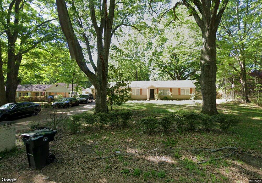
6939 7th Rd Memphis, TN 38135
Estimated Value: $233,304 - $294,000
3
Beds
2
Baths
1,702
Sq Ft
$151/Sq Ft
Est. Value
About This Home
This home is located at 6939 7th Rd, Memphis, TN 38135 and is currently estimated at $256,826, approximately $150 per square foot. 6939 7th Rd is a home located in Shelby County with nearby schools including Oak Elementary School, Appling Middle School, and Bartlett High School.
Ownership History
Date
Name
Owned For
Owner Type
Purchase Details
Closed on
Sep 28, 2012
Sold by
Gp Mandt
Bought by
Craig Alex
Current Estimated Value
Home Financials for this Owner
Home Financials are based on the most recent Mortgage that was taken out on this home.
Original Mortgage
$75,000
Interest Rate
3.64%
Mortgage Type
Unknown
Purchase Details
Closed on
Jul 20, 2012
Sold by
Clark Brandon M and Uyder Ashley
Bought by
Gp Mandt
Create a Home Valuation Report for This Property
The Home Valuation Report is an in-depth analysis detailing your home's value as well as a comparison with similar homes in the area
Home Values in the Area
Average Home Value in this Area
Purchase History
| Date | Buyer | Sale Price | Title Company |
|---|---|---|---|
| Craig Alex | $45,000 | None Available | |
| Gp Mandt | -- | None Available | |
| Gp Mandt | -- | None Available |
Source: Public Records
Mortgage History
| Date | Status | Borrower | Loan Amount |
|---|---|---|---|
| Closed | Craig Alex | $75,000 |
Source: Public Records
Tax History Compared to Growth
Tax History
| Year | Tax Paid | Tax Assessment Tax Assessment Total Assessment is a certain percentage of the fair market value that is determined by local assessors to be the total taxable value of land and additions on the property. | Land | Improvement |
|---|---|---|---|---|
| 2025 | $2,106 | $52,675 | $12,050 | $40,625 |
| 2024 | $2,106 | $41,125 | $9,925 | $31,200 |
| 2023 | $2,106 | $41,125 | $9,925 | $31,200 |
| 2022 | $1,394 | $41,125 | $9,925 | $31,200 |
| 2021 | $2,139 | $41,125 | $9,925 | $31,200 |
| 2020 | $1,301 | $32,125 | $8,475 | $23,650 |
| 2019 | $1,889 | $32,125 | $8,475 | $23,650 |
| 2018 | $1,301 | $32,125 | $8,475 | $23,650 |
| 2017 | $1,320 | $32,125 | $8,475 | $23,650 |
| 2016 | $1,005 | $23,000 | $0 | $0 |
| 2014 | $1,005 | $23,000 | $0 | $0 |
Source: Public Records
Map
Nearby Homes
- 00 Yale Rd
- 6806 Briarfield Ln
- 6894 Hedgewood Ln
- 3334 Oak Rd
- 6950 Dovefield Ln
- Webster Plan at Union Depot
- Asher Plan at Union Depot
- Glenmore Plan at Union Depot
- Manning Plan at Union Depot
- Lewis Plan at Union Depot
- Emerson Plan at Union Depot
- Chapman Plan at Union Depot
- Hudson Plan at Union Depot
- Kensley Plan at Union Depot
- Amelia Plan at Union Depot
- 3148 Hill Lake Dr
- 6888 Johnstown Ln
- 6884 Johnstown Ln
- 6870 Deerfield Rd
- 6897 Johnstown Ln