69390 Green Ridge Loop Sisters, OR 97759
Estimated Value: $638,000 - $697,000
1
Bed
2
Baths
1,152
Sq Ft
$579/Sq Ft
Est. Value
About This Home
This home is located at 69390 Green Ridge Loop, Sisters, OR 97759 and is currently estimated at $667,564, approximately $579 per square foot. 69390 Green Ridge Loop is a home located in Deschutes County with nearby schools including Sisters Elementary School, Sisters Middle School, and Sisters High School.
Ownership History
Date
Name
Owned For
Owner Type
Purchase Details
Closed on
Mar 24, 2020
Sold by
Nehring Jerry and Nehring Rebecca
Bought by
Nehring Jerry
Current Estimated Value
Purchase Details
Closed on
Oct 4, 2007
Sold by
Nehring Jerry F
Bought by
Nehring Jerry F and Nehring Rebecca
Home Financials for this Owner
Home Financials are based on the most recent Mortgage that was taken out on this home.
Original Mortgage
$487,065
Interest Rate
5.05%
Mortgage Type
Reverse Mortgage Home Equity Conversion Mortgage
Create a Home Valuation Report for This Property
The Home Valuation Report is an in-depth analysis detailing your home's value as well as a comparison with similar homes in the area
Purchase History
| Date | Buyer | Sale Price | Title Company |
|---|---|---|---|
| Nehring Jerry | -- | None Available | |
| Nehring Jerry F | -- | Deschutes County Title Co |
Source: Public Records
Mortgage History
| Date | Status | Borrower | Loan Amount |
|---|---|---|---|
| Closed | Nehring Jerry F | $487,065 |
Source: Public Records
Tax History
| Year | Tax Paid | Tax Assessment Tax Assessment Total Assessment is a certain percentage of the fair market value that is determined by local assessors to be the total taxable value of land and additions on the property. | Land | Improvement |
|---|---|---|---|---|
| 2025 | $3,855 | $236,480 | -- | -- |
| 2024 | $3,732 | $229,600 | -- | -- |
| 2023 | $3,626 | $222,920 | $0 | $0 |
| 2022 | $3,342 | $210,130 | $0 | $0 |
| 2021 | $3,209 | $204,010 | $0 | $0 |
| 2020 | $3,052 | $204,010 | $0 | $0 |
| 2019 | $2,978 | $198,070 | $0 | $0 |
| 2018 | $2,902 | $192,310 | $0 | $0 |
| 2017 | $2,804 | $186,710 | $0 | $0 |
| 2016 | $2,757 | $181,280 | $0 | $0 |
| 2015 | $2,595 | $176,000 | $0 | $0 |
| 2014 | $2,443 | $170,880 | $0 | $0 |
Source: Public Records
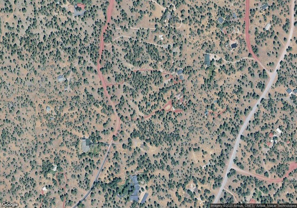
Map
Nearby Homes
- 69482 Panoramic Dr
- 69580 Pine Ridge Dr
- 69130 Damsel Fly Ct Unit Lot 57
- 69130 Damsel Fly Ct
- 16892 Royal Coachman Dr
- 16923 Royal Coachman Dr
- 69592 Lake Dr
- 17116 Royal Coachman Dr
- 69305 Hawksflight Dr
- 69205 Hawksflight Dr
- 16465 Suntree Ln
- 69960 Camp Polk Rd
- 69150 Butcher Block Blvd
- 70030 Annies Dr
- 70060 Annies Dr
- 69856 Camp Polk Rd
- 16514 Wren Ln
- 16431 Marmott Ln
- 70085 Cayuse Dr
- 69469 Carlton St
- 69410 Green Ridge Loop
- 69383 Panoramic Dr
- 69500 Green Ridge Loop
- 69370 Green Ridge Loop
- 69490 Green Ridge Loop
- 69357 Panoramic Dr
- 69430 Green Ridge Loop
- 69350 Green Ridge Loop
- 69319 Panoramic Dr
- 16970 Buck Ln
- 69430 Panoramic Dr
- 69485 Green Ridge Loop
- 69480 Green Ridge Loop
- 69415 Green Ridge Loop
- 69440 Green Ridge Loop
- 69425 Green Ridge Loop
- 69330 Panoramic Dr
- 69385 Green Ridge Loop
- 69435 Green Ridge Loop
Your Personal Tour Guide
Ask me questions while you tour the home.