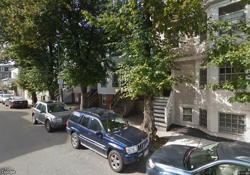
694 E 5th St Unit 1 Boston, MA 02127
South Boston NeighborhoodEstimated Value: $1,158,714 - $1,361,000
3
Beds
3
Baths
1,710
Sq Ft
$741/Sq Ft
Est. Value
About This Home
This home is located at 694 E 5th St Unit 1, Boston, MA 02127 and is currently estimated at $1,266,929, approximately $740 per square foot. 694 E 5th St Unit 1 is a home located in Suffolk County with nearby schools including South Boston Catholic Academy, Gate of Heaven Elementary School, and St Peter Academy.
Ownership History
Date
Name
Owned For
Owner Type
Purchase Details
Closed on
Aug 20, 2013
Sold by
Gilligan Diane E
Bought by
Diane E Gilligan Ret
Current Estimated Value
Purchase Details
Closed on
May 13, 2005
Sold by
Alfandary Marco and Derisio Margaret J
Bought by
Gilligan Diane E
Home Financials for this Owner
Home Financials are based on the most recent Mortgage that was taken out on this home.
Original Mortgage
$442,000
Interest Rate
6.05%
Mortgage Type
Purchase Money Mortgage
Create a Home Valuation Report for This Property
The Home Valuation Report is an in-depth analysis detailing your home's value as well as a comparison with similar homes in the area
Home Values in the Area
Average Home Value in this Area
Purchase History
| Date | Buyer | Sale Price | Title Company |
|---|---|---|---|
| Diane E Gilligan Ret | -- | -- | |
| Gilligan Diane E | $680,000 | -- |
Source: Public Records
Mortgage History
| Date | Status | Borrower | Loan Amount |
|---|---|---|---|
| Previous Owner | Gilligan Diane E | $442,000 |
Source: Public Records
Tax History
| Year | Tax Paid | Tax Assessment Tax Assessment Total Assessment is a certain percentage of the fair market value that is determined by local assessors to be the total taxable value of land and additions on the property. | Land | Improvement |
|---|---|---|---|---|
| 2025 | $12,231 | $1,056,200 | $0 | $1,056,200 |
| 2024 | $10,946 | $1,004,200 | $0 | $1,004,200 |
| 2023 | $10,566 | $983,800 | $0 | $983,800 |
| 2022 | $10,290 | $945,800 | $0 | $945,800 |
| 2021 | $9,803 | $918,700 | $0 | $918,700 |
| 2020 | $8,999 | $852,200 | $0 | $852,200 |
| 2019 | $8,397 | $796,700 | $0 | $796,700 |
| 2018 | $7,950 | $758,600 | $0 | $758,600 |
| 2017 | $7,509 | $709,100 | $0 | $709,100 |
| 2016 | $7,358 | $668,900 | $0 | $668,900 |
| 2015 | $7,059 | $582,900 | $0 | $582,900 |
| 2014 | $6,545 | $520,300 | $0 | $520,300 |
Source: Public Records
Map
Nearby Homes
- 703 E 5th St Unit 1
- 722 E 5th St Unit TH
- 122 M St
- 729-731 E 5th St
- 671 E 5th St Unit 1
- 309-311 Emerson St Unit 8
- 755 E 5th St Unit 757
- 840 E 4th St Unit 1
- 838 E Broadway Unit 7
- 861 E Broadway
- 761 E 6th St Unit 22
- 867 E Broadway
- 645 E 6th St
- 653-R E 3rd St
- 647 E 3rd St Unit 2
- 726 E 8th St Unit 3
- 786 E 6th St Unit 788
- 623 E 3rd St
- 37 M St
- 885 E Broadway
- 694 E 5th St Unit 2
- 694 E 5th St
- 692 E 5th St
- 696 E 5th St
- 690 E 5th St Unit 2
- 690 E 5th St
- 690 E 5th St Unit 1
- 700 E 5th St
- 688 1/2 E 5th St
- 688 E 5th St Unit 2
- 688 E 5th St
- 2 Scott Place
- 686R E 5th St
- 686 E 5th St
- 702 E 5th St Unit 3
- 702 E 5th St Unit 2
- 702 E 5th St Unit 301
- 702 E 5th St Unit 201
- 702 E 5th St Unit 101
- 702 E 5th St Unit 1
Your Personal Tour Guide
Ask me questions while you tour the home.