Estimated Value: $226,000 - $305,000
3
Beds
2
Baths
1,106
Sq Ft
$239/Sq Ft
Est. Value
About This Home
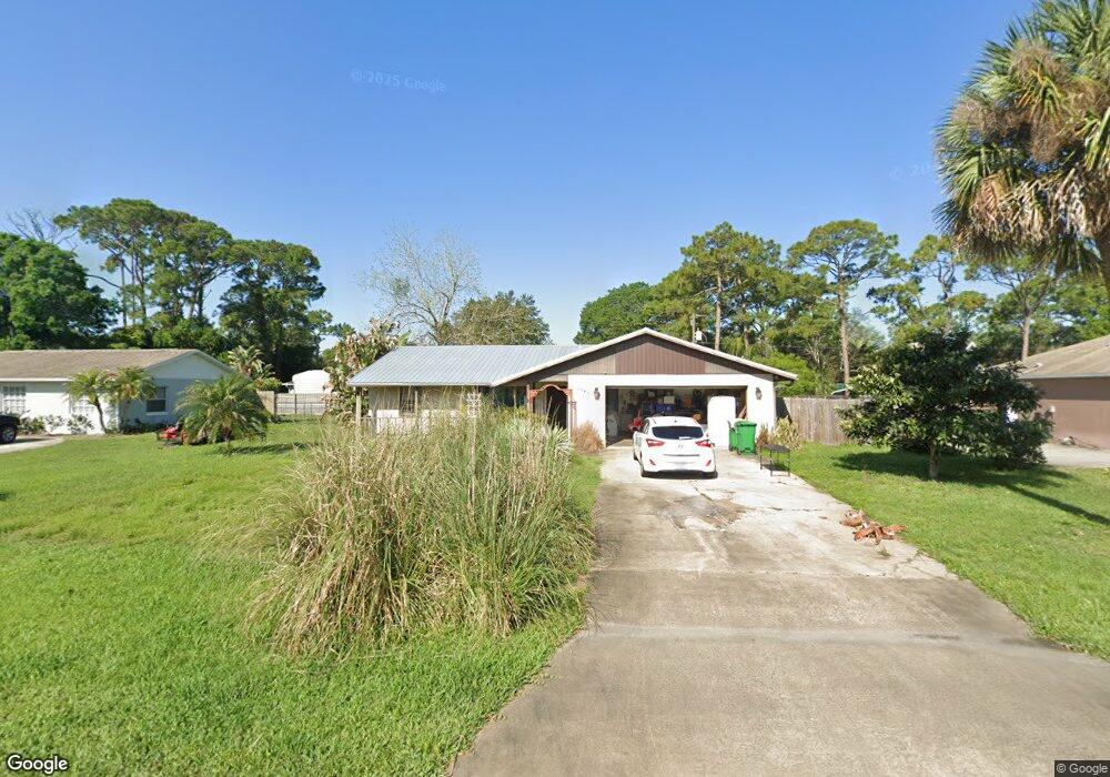
This home is located at 6940 Bryant Rd, Cocoa, FL 32927 and is currently estimated at $263,862, approximately $238 per square foot. 6940 Bryant Rd is a home located in Brevard County with nearby schools including Enterprise Elementary School, Space Coast Junior/Senior High School, and Sculptor Charter School.
Ownership History
Date
Name
Owned For
Owner Type
Purchase Details
Closed on
May 17, 2018
Sold by
Wynn William and Estate Of Patricia A Wynn
Bought by
Wynn William
Current Estimated Value
Purchase Details
Closed on
Feb 22, 1999
Sold by
Metivier Judity L
Bought by
Wynn Patricia A
Home Financials for this Owner
Home Financials are based on the most recent Mortgage that was taken out on this home.
Original Mortgage
$64,466
Interest Rate
6.84%
Purchase Details
Closed on
Apr 26, 1995
Sold by
Stumpf Kenneth G and Stumpf Imogene A
Bought by
Stumpf Kenneth G and Stumpf Imogene A
Create a Home Valuation Report for This Property
The Home Valuation Report is an in-depth analysis detailing your home's value as well as a comparison with similar homes in the area
Home Values in the Area
Average Home Value in this Area
Purchase History
| Date | Buyer | Sale Price | Title Company |
|---|---|---|---|
| Wynn William | -- | Attorney | |
| Wynn Patricia A | -- | -- | |
| Wynn Patricia A | $64,500 | -- | |
| Stumpf Kenneth G | -- | -- |
Source: Public Records
Mortgage History
| Date | Status | Borrower | Loan Amount |
|---|---|---|---|
| Previous Owner | Wynn Patricia A | $64,466 |
Source: Public Records
Tax History
| Year | Tax Paid | Tax Assessment Tax Assessment Total Assessment is a certain percentage of the fair market value that is determined by local assessors to be the total taxable value of land and additions on the property. | Land | Improvement |
|---|---|---|---|---|
| 2025 | $989 | $78,190 | -- | -- |
| 2024 | $961 | $75,990 | -- | -- |
| 2023 | $961 | $73,780 | $0 | $0 |
| 2022 | $960 | $71,640 | $0 | $0 |
| 2021 | $962 | $69,560 | $0 | $0 |
| 2020 | $916 | $68,600 | $0 | $0 |
| 2019 | $864 | $67,060 | $0 | $0 |
| 2018 | $1,648 | $123,910 | $27,000 | $96,910 |
| 2017 | $873 | $64,460 | $0 | $0 |
| 2016 | $881 | $63,140 | $18,000 | $45,140 |
| 2015 | $888 | $62,710 | $15,000 | $47,710 |
| 2014 | $893 | $62,220 | $11,000 | $51,220 |
Source: Public Records
Map
Nearby Homes
- 7065 Hundred Acre Dr
- 6815 Bryant Rd
- 5155 Mayflower St
- 5165 Patricia St
- 5555 Brandon St
- 7230 Venus Ave
- 6760 Cairo Rd
- 5080 Mayflower St
- 7150 Oakwood Ave
- 7200 Oakwood Ave
- 5200 Frisco St
- 6615 Dock Ave
- 7635 Fringe Place
- 7155 Export Ave
- 5095 Hogan Place
- 7545 Fringe Place
- 7275 Durban Ave
- 6581 Bancroft Ave
- 7419 Hackberry Rd
- 7310 Joshua Place
- 6950 Bryant Rd
- 6930 Bryant Rd
- 6935 Kaylor Ave
- 6965 Kaylor Ave
- 6960 Bryant Rd
- 6920 Bryant Rd
- 6933 Bryant Rd
- 6949 Bryant Rd
- 6925 Bryant Rd
- 6957 Bryant Rd
- 6970 Bryant Rd
- 6910 Bryant Rd
- 6917 Bryant Rd
- 6965 Bryant Rd
- 6915 Kaylor Ave
- 6960 Cairo Rd
- 6970 Cairo Rd
- 6950 Cairo Rd
- 6985 Kaylor Ave
- 6980 Bryant Rd
Your Personal Tour Guide
Ask me questions while you tour the home.