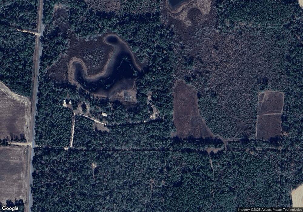
6944 Mattie Pond Rd Bascom, FL 32423
Estimated Value: $302,000 - $361,000
3
Beds
2
Baths
2,076
Sq Ft
$162/Sq Ft
Est. Value
About This Home
This home is located at 6944 Mattie Pond Rd, Bascom, FL 32423 and is currently estimated at $336,232, approximately $161 per square foot. 6944 Mattie Pond Rd is a home located in Jackson County with nearby schools including Malone School.
Ownership History
Date
Name
Owned For
Owner Type
Purchase Details
Closed on
Sep 20, 2023
Sold by
Conley Lawrence M and Conley Carole J
Bought by
Hatton Kingpower Joseph
Current Estimated Value
Home Financials for this Owner
Home Financials are based on the most recent Mortgage that was taken out on this home.
Original Mortgage
$340,000
Outstanding Balance
$332,142
Interest Rate
6.96%
Mortgage Type
New Conventional
Estimated Equity
$4,090
Purchase Details
Closed on
Dec 19, 2001
Sold by
Conley Lawrence M and Conley Carole J
Bought by
Conley Lawrence M and Conley Carole J
Create a Home Valuation Report for This Property
The Home Valuation Report is an in-depth analysis detailing your home's value as well as a comparison with similar homes in the area
Purchase History
| Date | Buyer | Sale Price | Title Company |
|---|---|---|---|
| Hatton Kingpower Joseph | $330,000 | Beach Land And Title Services | |
| Hatton Kingpower Joseph | $330,000 | Beach Land And Title Services | |
| Hatton Kingpower Joseph | $330,000 | Beach Land And Title Services | |
| Hatton Kingpower Joseph | $330,000 | Beach Land And Title Services | |
| Conley Lawrence M | -- | -- | |
| Conley Lawrence M | -- | -- |
Source: Public Records
Mortgage History
| Date | Status | Borrower | Loan Amount |
|---|---|---|---|
| Open | Hatton Kingpower Joseph | $340,000 | |
| Closed | Hatton Kingpower Joseph | $340,000 |
Source: Public Records
Tax History Compared to Growth
Tax History
| Year | Tax Paid | Tax Assessment Tax Assessment Total Assessment is a certain percentage of the fair market value that is determined by local assessors to be the total taxable value of land and additions on the property. | Land | Improvement |
|---|---|---|---|---|
| 2025 | $2,953 | $261,802 | $8,500 | $253,302 |
| 2024 | $3,345 | $250,248 | $8,500 | $241,748 |
| 2023 | $1,679 | $167,924 | $0 | $0 |
| 2022 | $1,522 | $163,033 | $0 | $0 |
| 2021 | $1,523 | $158,284 | $0 | $0 |
| 2020 | $1,537 | $156,099 | $6,500 | $149,599 |
| 2019 | $1,602 | $154,991 | $6,500 | $148,491 |
| 2018 | $1,627 | $156,781 | $6,500 | $150,281 |
| 2017 | $1,627 | $156,554 | $0 | $0 |
| 2016 | $1,549 | $153,334 | $0 | $0 |
| 2015 | $1,579 | $152,268 | $0 | $0 |
| 2014 | $1,579 | $151,060 | $0 | $0 |
Source: Public Records
Map
Nearby Homes
- 4686 Dunaway Rd
- 4584 Dunaway Rd
- 6345 Bull Frog Dr
- TBD Wolf Pond Rd
- 6694 Wolf Pond Rd
- 00 Lovedale Rd
- 5929 Nichols Rd
- 0000 Amtrex Rd
- 5947 Highway 2
- 0 Sweet Pond Rd
- 00 Sweet Pond Rd
- 4170 Wintergreen Rd
- 00 Green Rd
- 3244 Walter C Atkinson Rd
- 3232 Walter C Atkinson Rd
- 5678 Hummingbird Rd
- 4583 Dickson Rd
- 100 Gum St
- 4727 Georgia Rd
- 6815 Welcome Church Rd
