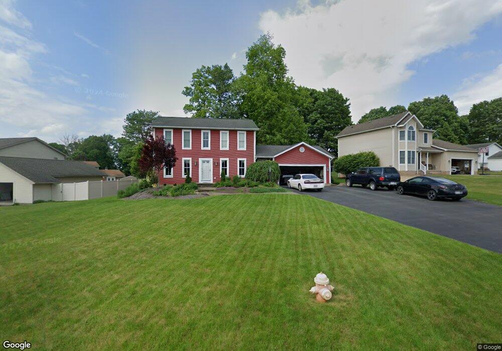
6946 Slippery Rock Dr Canfield, OH 44406
Austintown NeighborhoodEstimated Value: $278,370 - $300,000
3
Beds
3
Baths
1,778
Sq Ft
$163/Sq Ft
Est. Value
About This Home
This home is located at 6946 Slippery Rock Dr, Canfield, OH 44406 and is currently estimated at $289,843, approximately $163 per square foot. 6946 Slippery Rock Dr is a home located in Mahoning County with nearby schools including Austintown Elementary School, Austintown Intermediate School, and Austintown Middle School.
Ownership History
Date
Name
Owned For
Owner Type
Purchase Details
Closed on
Oct 6, 2021
Bought by
Stephanie A Brown
Current Estimated Value
Purchase Details
Closed on
Jul 25, 2003
Sold by
Ickes Sharon M
Bought by
Brown James P and Brown Stephanie A
Home Financials for this Owner
Home Financials are based on the most recent Mortgage that was taken out on this home.
Original Mortgage
$104,000
Interest Rate
5.3%
Mortgage Type
Purchase Money Mortgage
Purchase Details
Closed on
Jul 29, 1992
Bought by
Ickes Sharon M
Create a Home Valuation Report for This Property
The Home Valuation Report is an in-depth analysis detailing your home's value as well as a comparison with similar homes in the area
Home Values in the Area
Average Home Value in this Area
Purchase History
| Date | Buyer | Sale Price | Title Company |
|---|---|---|---|
| Stephanie A Brown | -- | -- | |
| Brown James P | $130,000 | -- | |
| Ickes Sharon M | $113,000 | -- |
Source: Public Records
Mortgage History
| Date | Status | Borrower | Loan Amount |
|---|---|---|---|
| Previous Owner | Brown James P | $104,000 |
Source: Public Records
Tax History
| Year | Tax Paid | Tax Assessment Tax Assessment Total Assessment is a certain percentage of the fair market value that is determined by local assessors to be the total taxable value of land and additions on the property. | Land | Improvement |
|---|---|---|---|---|
| 2025 | $3,868 | $80,680 | $10,170 | $70,510 |
| 2024 | $3,692 | $80,680 | $10,170 | $70,510 |
| 2023 | $3,634 | $80,680 | $10,170 | $70,510 |
| 2022 | $3,217 | $57,270 | $10,170 | $47,100 |
| 2021 | $3,219 | $57,270 | $10,170 | $47,100 |
| 2020 | $3,233 | $57,270 | $10,170 | $47,100 |
| 2019 | $3,145 | $50,770 | $10,170 | $40,600 |
| 2018 | $3,026 | $50,770 | $10,170 | $40,600 |
| 2017 | $3,023 | $50,770 | $10,170 | $40,600 |
| 2016 | $2,952 | $49,090 | $10,170 | $38,920 |
| 2015 | $2,862 | $49,090 | $10,170 | $38,920 |
| 2014 | $2,875 | $49,090 | $10,170 | $38,920 |
| 2013 | $2,844 | $49,090 | $10,170 | $38,920 |
Source: Public Records
Map
Nearby Homes
- 3449 Meanderwood Dr
- 3121 Meanderwood Dr
- 6948 Meander Reserve Ct
- 3013 Whispering Pines Dr
- 2998 Whispering Pines Dr
- 6581 Country Ridge Ave
- 6438 Calvary Ct
- 6343 Gibson Rd
- 21 Timber Run Ct
- 6270 Fairview Rd
- 6266 Fairview Rd
- 583 Wyndclift Cir
- 9112 New Rd
- 68 Timber Run Dr
- 242 Wilcox Rd Unit 242
- 379 Wyndclift Place
- 1556 Pimlico Dr Unit 15
- 519 Wilcox Rd Unit A
- 1540 Pimlico Dr
- 5552 Callaway Cir Unit 2
- 6950 Slippery Rock Dr
- 6940 Slippery Rock Dr
- 6932 Slippery Rock Dr
- 3101 Meanderwood Dr
- 3455 Meanderwood Dr
- 3105 Meanderwood Dr
- 3473 Meanderwood Dr
- 6945 Slippery Rock Dr
- 6957 Slippery Rock Dr
- 6941 Slippery Rock Dr
- 3109 Meanderwood Dr
- 6924 Slippery Rock Dr
- 3461 Meanderwood Dr
- 6965 Slippery Rock Dr
- 6935 Slippery Rock Dr
- 3113 Meanderwood Dr
- 6925 Slippery Rock Dr
- 3457 Meanderwood Dr
- 6916 Slippery Rock Dr
- 3117 Meanderwood Dr
Your Personal Tour Guide
Ask me questions while you tour the home.