6949 Catamaran Dr Carlsbad, CA 92011
South Beach NeighborhoodEstimated Value: $1,878,000 - $2,288,000
4
Beds
3
Baths
2,629
Sq Ft
$818/Sq Ft
Est. Value
About This Home
This home is located at 6949 Catamaran Dr, Carlsbad, CA 92011 and is currently estimated at $2,149,632, approximately $817 per square foot. 6949 Catamaran Dr is a home located in San Diego County with nearby schools including Pacific Rim Elementary, Aviara Oaks Middle, and Carlsbad High School.
Ownership History
Date
Name
Owned For
Owner Type
Purchase Details
Closed on
Nov 6, 2024
Sold by
Donald And Susan Dewolf Living Trust and Dewolf Donald Charles
Bought by
Dewolf Catamaran Llc
Current Estimated Value
Purchase Details
Closed on
Jul 13, 2017
Sold by
Dewolf Donald Charles and Dewolf Susan Christine
Bought by
Dewolf Catamaran Llc
Purchase Details
Closed on
Mar 14, 2013
Sold by
Dewolf Donald Charles and Dewolf Susan Christine
Bought by
Dewolf Donald Charles and Dewolf Susan Christine
Purchase Details
Closed on
Jul 2, 2001
Sold by
Fieldstone Poinsettia Cove Llc
Bought by
Dewolf Donald Charles and Dewolf Susan Christine
Home Financials for this Owner
Home Financials are based on the most recent Mortgage that was taken out on this home.
Original Mortgage
$460,352
Interest Rate
6.5%
Mortgage Type
Purchase Money Mortgage
Create a Home Valuation Report for This Property
The Home Valuation Report is an in-depth analysis detailing your home's value as well as a comparison with similar homes in the area
Home Values in the Area
Average Home Value in this Area
Purchase History
| Date | Buyer | Sale Price | Title Company |
|---|---|---|---|
| Dewolf Catamaran Llc | -- | None Listed On Document | |
| Dewolf Catamaran Llc | -- | None Available | |
| Dewolf Donald Charles | -- | None Available | |
| Dewolf Donald Charles | -- | None Available | |
| Dewolf Donald Charles | $575,500 | First American Title |
Source: Public Records
Mortgage History
| Date | Status | Borrower | Loan Amount |
|---|---|---|---|
| Previous Owner | Dewolf Donald Charles | $460,352 |
Source: Public Records
Tax History Compared to Growth
Tax History
| Year | Tax Paid | Tax Assessment Tax Assessment Total Assessment is a certain percentage of the fair market value that is determined by local assessors to be the total taxable value of land and additions on the property. | Land | Improvement |
|---|---|---|---|---|
| 2025 | $9,532 | $850,079 | $413,634 | $436,445 |
| 2024 | $9,532 | $833,412 | $405,524 | $427,888 |
| 2023 | $9,487 | $817,072 | $397,573 | $419,499 |
| 2022 | $9,351 | $801,052 | $389,778 | $411,274 |
| 2021 | $9,285 | $785,346 | $382,136 | $403,210 |
| 2020 | $9,227 | $777,294 | $378,218 | $399,076 |
| 2019 | $9,071 | $762,053 | $370,802 | $391,251 |
| 2018 | $8,714 | $747,112 | $363,532 | $383,580 |
| 2017 | $8,580 | $732,463 | $356,404 | $376,059 |
| 2016 | $8,260 | $718,102 | $349,416 | $368,686 |
| 2015 | $8,230 | $707,316 | $344,168 | $363,148 |
| 2014 | $8,102 | $693,462 | $337,427 | $356,035 |
Source: Public Records
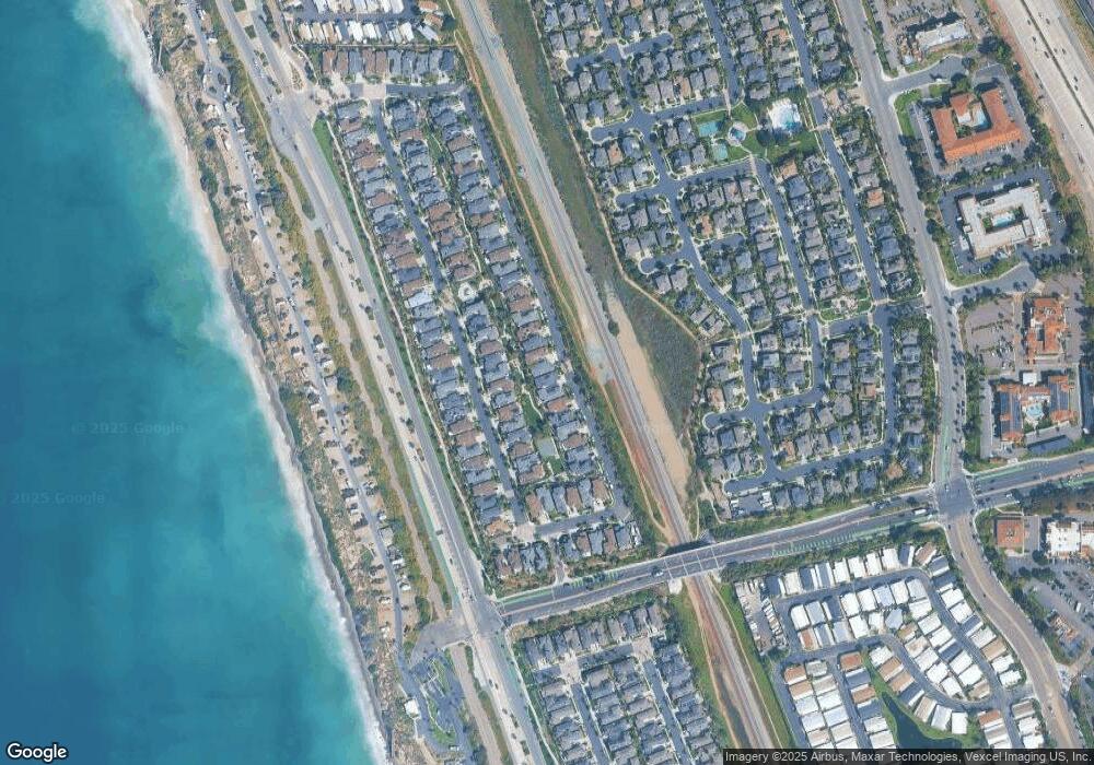
Map
Nearby Homes
- 609 Saltgrass Ave
- 7020 Whitewater St
- 6925 Waters End Dr
- 7205 Santa Barbara St Unit 153
- 7221 San Luis St
- 7207 Santa Barbara St Unit 154
- 7002 San Bartolo St Unit 30
- 7024 San Bartolo St Unit 19
- 7027 San Bartolo St Unit 43
- 7025 San Bartolo St Unit 42
- 7016 San Carlos St Unit 61
- 7313 Santa Barbara St Unit 294
- 7320 San Bartolo St Unit 217
- 7241 San Luis St
- 7236 San Benito St Unit 355
- 7233 San Bartolo St Unit 376
- 6550 Ponto Dr Unit SPC 39
- 6550 Ponto Dr Unit 110
- 6550 Ponto Dr Unit 14
- 6550 Ponto Dr Unit 107
- 6953 Catamaran Dr Unit 76
- 6945 Catamaran Dr
- 6965 Catamaran Dr
- 6961 Catamaran Dr
- 6952 Tradewinds Dr
- 6956 Tradewinds Dr
- 6948 Tradewinds Dr
- 6937 Catamaran Dr
- 6956 Catamaran Dr
- 6969 Catamaran Dr Unit 80
- 6980 Tradewinds Dr
- 6976 Tradewinds Dr
- 6977 Catamaran Dr Unit 82
- 6955 Tradewinds Dr
- 138 Channel Rd Unit 86
- 6973 Catamaran Dr
- 6957 Catamaran Dr
- 6944 Tradewinds Dr
- 6960 Tradewinds Dr
- 6964 Tradewinds Dr Unit 113