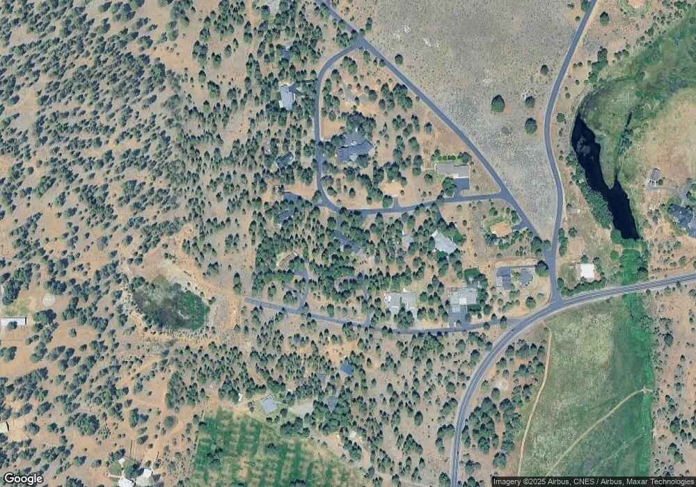
69635 Old Corral Loop Sisters, OR 97759
Estimated Value: $1,017,000 - $1,388,000
3
Beds
3
Baths
2,079
Sq Ft
$566/Sq Ft
Est. Value
About This Home
This home is located at 69635 Old Corral Loop, Sisters, OR 97759 and is currently estimated at $1,177,283, approximately $566 per square foot. 69635 Old Corral Loop is a home located in Deschutes County with nearby schools including Sisters Elementary School, Sisters Middle School, and Sisters High School.
Ownership History
Date
Name
Owned For
Owner Type
Purchase Details
Closed on
Jul 24, 2023
Sold by
Rickards Daniel H and Rickards Julia A
Bought by
Dan And Julia Rickards Revocable Trust and Rickards
Current Estimated Value
Purchase Details
Closed on
Jul 15, 2004
Sold by
Guggenheim G Alan and Guggenheim Cheryl Lee
Bought by
Rickards Daniel H and Rickards Julia A
Home Financials for this Owner
Home Financials are based on the most recent Mortgage that was taken out on this home.
Original Mortgage
$264,250
Interest Rate
6.27%
Mortgage Type
Stand Alone First
Create a Home Valuation Report for This Property
The Home Valuation Report is an in-depth analysis detailing your home's value as well as a comparison with similar homes in the area
Purchase History
| Date | Buyer | Sale Price | Title Company |
|---|---|---|---|
| Dan And Julia Rickards Revocable Trust | -- | None Listed On Document | |
| Rickards Daniel H | $377,500 | Amerititle |
Source: Public Records
Mortgage History
| Date | Status | Borrower | Loan Amount |
|---|---|---|---|
| Previous Owner | Rickards Daniel H | $264,250 |
Source: Public Records
Tax History
| Year | Tax Paid | Tax Assessment Tax Assessment Total Assessment is a certain percentage of the fair market value that is determined by local assessors to be the total taxable value of land and additions on the property. | Land | Improvement |
|---|---|---|---|---|
| 2025 | $8,212 | $525,410 | -- | -- |
| 2024 | $7,956 | $510,110 | -- | -- |
| 2023 | $7,731 | $495,260 | $0 | $0 |
| 2022 | $7,126 | $466,840 | $0 | $0 |
| 2021 | $7,166 | $438,640 | $0 | $0 |
| 2020 | $6,586 | $438,640 | $0 | $0 |
| 2019 | $6,429 | $425,870 | $0 | $0 |
| 2018 | $6,221 | $413,470 | $0 | $0 |
| 2017 | $6,029 | $401,430 | $0 | $0 |
| 2016 | $5,954 | $389,740 | $0 | $0 |
| 2015 | $5,578 | $378,390 | $0 | $0 |
| 2014 | $5,246 | $367,370 | $0 | $0 |
Source: Public Records
Map
Nearby Homes
- 15689 Paddock Green
- 69987 W Meadow Pkwy
- 15624 National Forest Ln
- 69947 Meadow View Rd
- 69944 Meadow View Rd
- 69219 Yellow Daisy Ln
- 230 E Diamond Peak Ave Unit 32
- 1151 N Jantzen Ct
- 282 W Lundgren Mill Dr
- 16465 Suntree Ln
- 936 E Black Butte Ave
- 988 E Black Butte Ave Unit 30
- 69288 Stetson
- 729 W Canopy Way Unit Lot 3
- 363 E Aspenwood Ave
- 533 Sisters Park Dr Unit Lot 129
- 653 Sisters Park Dr Unit Lot 121
- 643 Sisters Park Dr Unit Lot 122
- 623 Sisters Park Dr Unit Lot 123
- 1094 E Horse Back Trail
- 15828 Lundy Rd
- 69629 Old Corral Loop
- 15810 Lundy Rd
- 69632 Old Corral Loop
- 69641 Old Corral Loop
- 69646 Old Corral Loop
- 15844 Lundy Rd
- 69623 Old Corral Loop
- 69647 Old Corral Loop
- 69631 Old Corral Loop
- 15868 Lundy Rd
- 69651 Old Corral Loop
- 69658 Old Corral Loop
- 69597 Old Wagon Rd
- 69611 Old Wagon Rd
- 69663 Old Corral Loop
- 69679 Old Wagon Rd
- 69680 Old Wagon Rd
- 69690 Old Wagon Rd
- 69459 Crooked Horseshoe Rd
