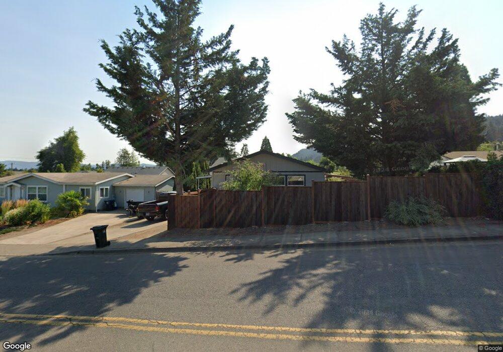
6967 Main St Springfield, OR 97478
Thurston NeighborhoodEstimated Value: $425,000 - $465,000
3
Beds
2
Baths
1,700
Sq Ft
$264/Sq Ft
Est. Value
About This Home
This home is located at 6967 Main St, Springfield, OR 97478 and is currently estimated at $448,772, approximately $263 per square foot. 6967 Main St is a home located in Lane County with nearby schools including Thurston Elementary School, Thurston Middle School, and Thurston High School.
Ownership History
Date
Name
Owned For
Owner Type
Purchase Details
Closed on
May 25, 2006
Sold by
Green & Sons Investments Inc
Bought by
Mason George W
Current Estimated Value
Home Financials for this Owner
Home Financials are based on the most recent Mortgage that was taken out on this home.
Original Mortgage
$159,200
Outstanding Balance
$100,849
Interest Rate
8.2%
Mortgage Type
Fannie Mae Freddie Mac
Estimated Equity
$347,923
Purchase Details
Closed on
May 15, 2006
Sold by
Green Robert W
Bought by
Green & Sons Investments Inc
Home Financials for this Owner
Home Financials are based on the most recent Mortgage that was taken out on this home.
Original Mortgage
$159,200
Outstanding Balance
$100,849
Interest Rate
8.2%
Mortgage Type
Fannie Mae Freddie Mac
Estimated Equity
$347,923
Purchase Details
Closed on
Sep 19, 2005
Sold by
Green & Sons Investments Inc
Bought by
Green Robert W
Purchase Details
Closed on
Jul 14, 2005
Sold by
Green Robert W
Bought by
Green & Sons Investments Inc
Home Financials for this Owner
Home Financials are based on the most recent Mortgage that was taken out on this home.
Original Mortgage
$65,000
Interest Rate
5.55%
Mortgage Type
Purchase Money Mortgage
Purchase Details
Closed on
Jun 14, 2005
Sold by
Ploeg David Vander
Bought by
Marks Sean Anthony
Home Financials for this Owner
Home Financials are based on the most recent Mortgage that was taken out on this home.
Original Mortgage
$65,000
Interest Rate
5.55%
Mortgage Type
Purchase Money Mortgage
Create a Home Valuation Report for This Property
The Home Valuation Report is an in-depth analysis detailing your home's value as well as a comparison with similar homes in the area
Home Values in the Area
Average Home Value in this Area
Purchase History
| Date | Buyer | Sale Price | Title Company |
|---|---|---|---|
| Mason George W | $199,000 | Cascade Title Co | |
| Green & Sons Investments Inc | -- | Cascade Title Co | |
| Green Robert W | -- | First American Title | |
| Green & Sons Investments Inc | -- | Cascade Title Co | |
| Green Robert W | $65,000 | Cascade Title Co | |
| Marks Sean Anthony | $60,000 | Cascade Title Co |
Source: Public Records
Mortgage History
| Date | Status | Borrower | Loan Amount |
|---|---|---|---|
| Open | Mason George W | $159,200 | |
| Closed | Mason George W | $39,800 | |
| Previous Owner | Green Robert W | $65,000 |
Source: Public Records
Tax History
| Year | Tax Paid | Tax Assessment Tax Assessment Total Assessment is a certain percentage of the fair market value that is determined by local assessors to be the total taxable value of land and additions on the property. | Land | Improvement |
|---|---|---|---|---|
| 2025 | $4,483 | $244,447 | -- | -- |
| 2024 | $4,410 | $237,328 | -- | -- |
| 2023 | $4,410 | $230,416 | $0 | $0 |
| 2022 | $4,084 | $223,705 | $0 | $0 |
| 2021 | $4,011 | $217,190 | $0 | $0 |
| 2020 | $3,894 | $210,865 | $0 | $0 |
| 2019 | $3,777 | $204,724 | $0 | $0 |
| 2018 | $3,560 | $192,973 | $0 | $0 |
| 2017 | $3,423 | $192,973 | $0 | $0 |
| 2016 | $3,352 | $187,352 | $0 | $0 |
| 2015 | $3,256 | $181,895 | $0 | $0 |
| 2014 | $3,207 | $176,597 | $0 | $0 |
Source: Public Records
Map
Nearby Homes
- 246 S 70th St
- 6964 Bluebelle Way
- 6875 B St
- 353 71st St
- 250 68th St
- 7027 S E St
- 0 S 69th Place
- 616 S 71st St
- 0 71st St
- 6540 B St
- 555 66th St
- 6842 Jessica Dr
- 0 Omlid Dr Unit 1 706471345
- 0 Omlid Dr Unit 11
- 0 Omlid Dr Unit 27 796722689
- 0 Omlid Dr Unit 26 256458253
- 0 Omlid Dr Unit 10
- 0 Omlid Dr Unit 3 154724851
- 0 Omlid Dr Unit 2 312357104
- 6884 Forest Ridge Dr
Your Personal Tour Guide
Ask me questions while you tour the home.