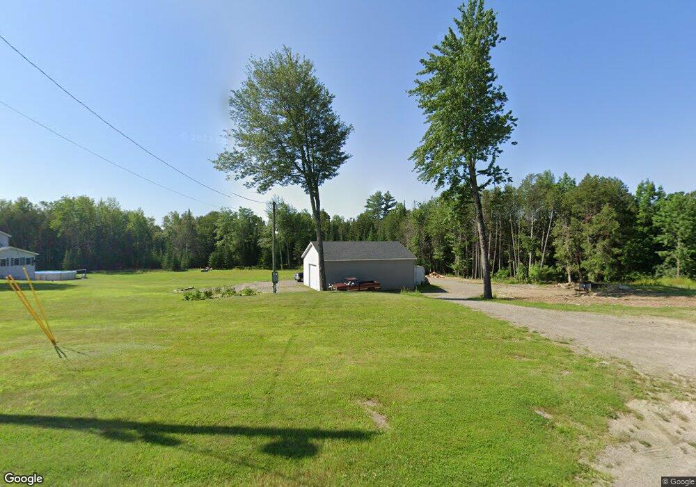
697 Village Rd Stetson, ME 04488
Estimated Value: $259,190 - $377,000
--
Bed
--
Bath
--
Sq Ft
3.03
Acres
About This Home
This home is located at 697 Village Rd, Stetson, ME 04488 and is currently estimated at $297,298. 697 Village Rd is a home with nearby schools including Central Community Elementary School and Central High School.
Ownership History
Date
Name
Owned For
Owner Type
Purchase Details
Closed on
Jul 31, 2018
Sold by
Donald A Piper
Bought by
Baker Christopher and Baker Dennell
Current Estimated Value
Home Financials for this Owner
Home Financials are based on the most recent Mortgage that was taken out on this home.
Original Mortgage
$22,000
Outstanding Balance
$19,123
Interest Rate
4.54%
Estimated Equity
$278,175
Purchase Details
Closed on
Jun 6, 2007
Sold by
Ham Dennell K and Cotta Dennell K
Bought by
Baker Christopher M and Ham Dennell K
Home Financials for this Owner
Home Financials are based on the most recent Mortgage that was taken out on this home.
Original Mortgage
$141,950
Interest Rate
6.17%
Mortgage Type
Commercial
Create a Home Valuation Report for This Property
The Home Valuation Report is an in-depth analysis detailing your home's value as well as a comparison with similar homes in the area
Home Values in the Area
Average Home Value in this Area
Purchase History
| Date | Buyer | Sale Price | Title Company |
|---|---|---|---|
| Baker Christopher | -- | -- | |
| Baker Christopher M | -- | -- |
Source: Public Records
Mortgage History
| Date | Status | Borrower | Loan Amount |
|---|---|---|---|
| Open | Baker Christopher M | $22,000 | |
| Closed | Baker Christopher M | -- | |
| Previous Owner | Baker Christopher M | $141,950 |
Source: Public Records
Tax History Compared to Growth
Tax History
| Year | Tax Paid | Tax Assessment Tax Assessment Total Assessment is a certain percentage of the fair market value that is determined by local assessors to be the total taxable value of land and additions on the property. | Land | Improvement |
|---|---|---|---|---|
| 2020 | $3,100 | $155,000 | $32,000 | $123,000 |
| 2019 | $3,104 | $142,400 | $19,400 | $123,000 |
| 2018 | $3,104 | $142,400 | $19,400 | $123,000 |
| 2017 | $2,962 | $142,400 | $19,400 | $123,000 |
| 2016 | $2,962 | $142,400 | $19,400 | $123,000 |
Source: Public Records
Map
Nearby Homes
- 730 Village Rd
- Lot 2-6 Merrill Rd
- 129 Maple Shore Ln
- 278 Merrill Rd
- 40 Birch Way
- 144 Loon Cove
- 61 Club House Rd
- 3-3-A Avenue Rd
- 11 Sinclair Rd
- 965 Mount Pleasant Rd
- 28 Levant Heights Dr
- 62 Cobb Rd
- 53 Village Rd
- 1149 Avenue Rd
- 291 Lakins Rd
- 80 Jordon Rd
- Lot 15-15 Brann Rd
- 701 Stetson Rd
- 189 Stetson Rd E
- 153 Stetson Rd E
- 703 Village Rd
- 685 Village Rd
- 718 Village Rd
- 0 Billings Rd
- 0 Goodwin Rd Unit 280021
- 0 Goodwin Rd Unit 280018
- 0 Goodwin Rd Unit 263889
- 0 Goodwin Rd Unit 255928
- 0 Goodwin Rd Unit 316778
- 0 Goodwin Rd Unit 1307076
- 729 Village Rd
- 614 Village Rd
- 32 Billings Rd
- 731 Village Rd
- L 29 Billings Rd
- 642 Village Rd
- 739 Village Rd
- 12 Fox Dr
- 0 Rt 222 Box 1895
- 0 Route #222