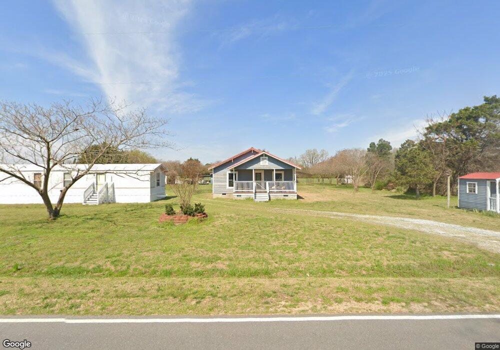
6970 Meadowbrook Rd Benson, NC 27504
Meadow NeighborhoodEstimated Value: $167,189 - $299,000
1
Bed
1
Bath
1,076
Sq Ft
$232/Sq Ft
Est. Value
About This Home
This home is located at 6970 Meadowbrook Rd, Benson, NC 27504 and is currently estimated at $249,797, approximately $232 per square foot. 6970 Meadowbrook Rd is a home located in Johnston County with nearby schools including Meadow School and South Johnston High School.
Ownership History
Date
Name
Owned For
Owner Type
Purchase Details
Closed on
Jul 15, 2025
Sold by
Daniels Lela Gail and Lockamy Adam Ray
Bought by
Daniels Ronald Terry and Lockamy Adam Ray
Current Estimated Value
Create a Home Valuation Report for This Property
The Home Valuation Report is an in-depth analysis detailing your home's value as well as a comparison with similar homes in the area
Home Values in the Area
Average Home Value in this Area
Purchase History
| Date | Buyer | Sale Price | Title Company |
|---|---|---|---|
| Daniels Ronald Terry | -- | None Listed On Document |
Source: Public Records
Tax History
| Year | Tax Paid | Tax Assessment Tax Assessment Total Assessment is a certain percentage of the fair market value that is determined by local assessors to be the total taxable value of land and additions on the property. | Land | Improvement |
|---|---|---|---|---|
| 2025 | $798 | $125,740 | $45,450 | $80,290 |
| 2024 | $511 | $63,090 | $16,970 | $46,120 |
| 2023 | $505 | $63,090 | $16,970 | $46,120 |
| 2022 | $530 | $63,090 | $16,970 | $46,120 |
| 2021 | $530 | $63,090 | $16,970 | $46,120 |
| 2020 | $524 | $63,090 | $16,970 | $46,120 |
| 2019 | $524 | $63,090 | $16,970 | $46,120 |
| 2018 | $0 | $54,760 | $16,160 | $38,600 |
| 2017 | $465 | $54,760 | $16,160 | $38,600 |
| 2016 | $475 | $54,760 | $16,160 | $38,600 |
| 2015 | $475 | $54,760 | $16,160 | $38,600 |
| 2014 | $475 | $54,760 | $16,160 | $38,600 |
Source: Public Records
Map
Nearby Homes
- 440 Creek Bridge Rd
- 62 Cutoff Rd
- 536 White Oak Rd
- 632 Tart Town Rd
- 628 Tart Town Rd
- 2000 Woods Crossroads Rd
- Tract One Tart Town Rd
- 272 Tart Rd
- 177 Grace Pond Ave
- 5045 Nc 96 Hwy
- 1158 Lee-Johnson Rd
- 52 Grace Pond Ave
- 5020 N Carolina 96
- 104 Grace Pond Ave
- 499 Jumping Run Rd
- 90 Rigsby Ave
- 5964 Godwin Lake Rd
- 0 Mill Creek Church Rd
- 0 Lockamy Unit 10086733
- 352 Old Crow Rd
- 6916 Meadowbrook Rd
- 6955 Meadowbrook Rd
- 6912 Meadowbrook Rd
- 7093 Meadowbrook Rd
- 6989 Meadowbrook Rd
- 6985 Meadowbrook Rd
- 7099 Meadowbrook Rd
- 7101 Meadowbrook Rd
- 7300 Meadowbrook Rd
- 7121 Meadowbrook Rd
- 7326 Meadowbrook Rd
- 7285 Meadowbrook Rd
- 2020 Godwin Lake Rd
- 7465 Meadowbrook Rd
- 55 W Johnson Rd
- 278 Reedy Prong Church Rd
- 6496 Meadowbrook Rd
- 7595 Meadowbrook Rd
- 6426 Meadowbrook Rd
- 76 Reedy Prong Church Rd
Your Personal Tour Guide
Ask me questions while you tour the home.