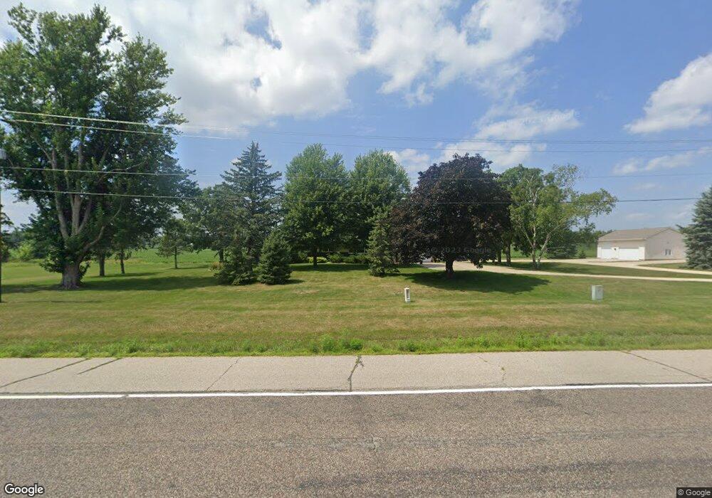
6971 Dennison Blvd Northfield, MN 55057
Estimated Value: $450,000 - $539,000
3
Beds
3
Baths
1,980
Sq Ft
$239/Sq Ft
Est. Value
About This Home
This home is located at 6971 Dennison Blvd, Northfield, MN 55057 and is currently estimated at $473,455, approximately $239 per square foot. 6971 Dennison Blvd is a home located in Rice County with nearby schools including Bridgewater Elementary School, Northfield Middle School, and Northfield Senior High School.
Ownership History
Date
Name
Owned For
Owner Type
Purchase Details
Closed on
Jan 30, 2020
Sold by
Gunderson Lester G and Gunderson Lester G
Bought by
Kuhlman Nathaniel P and Kuhlman Kari A
Current Estimated Value
Home Financials for this Owner
Home Financials are based on the most recent Mortgage that was taken out on this home.
Original Mortgage
$278,500
Outstanding Balance
$247,245
Interest Rate
3.74%
Mortgage Type
New Conventional
Estimated Equity
$226,210
Create a Home Valuation Report for This Property
The Home Valuation Report is an in-depth analysis detailing your home's value as well as a comparison with similar homes in the area
Home Values in the Area
Average Home Value in this Area
Purchase History
| Date | Buyer | Sale Price | Title Company |
|---|---|---|---|
| Kuhlman Nathaniel P | $298,500 | None Available |
Source: Public Records
Mortgage History
| Date | Status | Borrower | Loan Amount |
|---|---|---|---|
| Open | Kuhlman Nathaniel P | $278,500 |
Source: Public Records
Tax History Compared to Growth
Tax History
| Year | Tax Paid | Tax Assessment Tax Assessment Total Assessment is a certain percentage of the fair market value that is determined by local assessors to be the total taxable value of land and additions on the property. | Land | Improvement |
|---|---|---|---|---|
| 2025 | $4,344 | $418,300 | $119,800 | $298,500 |
| 2024 | $4,344 | $372,800 | $104,500 | $268,300 |
| 2023 | $3,604 | $372,800 | $104,500 | $268,300 |
| 2022 | $3,428 | $341,300 | $91,600 | $249,700 |
| 2021 | $3,384 | $301,700 | $87,200 | $214,500 |
| 2020 | $3,108 | $284,200 | $89,900 | $194,300 |
| 2019 | $3,200 | $257,900 | $89,900 | $168,000 |
| 2018 | $2,910 | $257,100 | $89,900 | $167,200 |
| 2017 | $2,586 | $230,400 | $89,900 | $140,500 |
| 2016 | $2,714 | $227,500 | $89,900 | $137,600 |
| 2015 | $2,704 | $229,500 | $89,900 | $139,600 |
| 2014 | -- | $230,100 | $89,900 | $140,200 |
Source: Public Records
Map
Nearby Homes
- 2432 Aspen St
- 2505 Aspen St
- 318 Ford St E
- 402 Ford St E
- 406 Ford St E
- 410 Ford St E
- 414 Ford St E
- 421 Ford St E
- 425 Ford St E
- 2106 Sunnyview Ln
- XXXX Division St S
- 1908 Sibley View Ln
- 2414 Elianna Dr
- 2330 Elianna Dr
- 609 Afton Dr
- 2100 Taylor Ct
- 1741 Roosevelt Dr
- 1020 Abbey Rd
- 301 Aster Dr
- 2004 Lincoln St S
- 6971 Dennison Blvd
- 10670 Dennison Blvd
- 6961 Dennison Blvd
- 10600 Dennison Blvd
- 10816 Dennison Blvd
- 10866 Dennison Blvd
- 6986 Dennison Blvd
- 10878 Dennison Blvd
- 6993 Dennison Blvd
- 2400 Division St S
- 10912 Gates Ave
- 10961 Fox Ave
- 6997 Dennison Blvd
- 10892 10892 Dennison-Boulevard-
- 202 Ford St
- 10960 Fox Ave
- 206 Ford St E
- 10971 Fox Ave
- 10912 Dennison Blvd
- 2504 Aspen St
