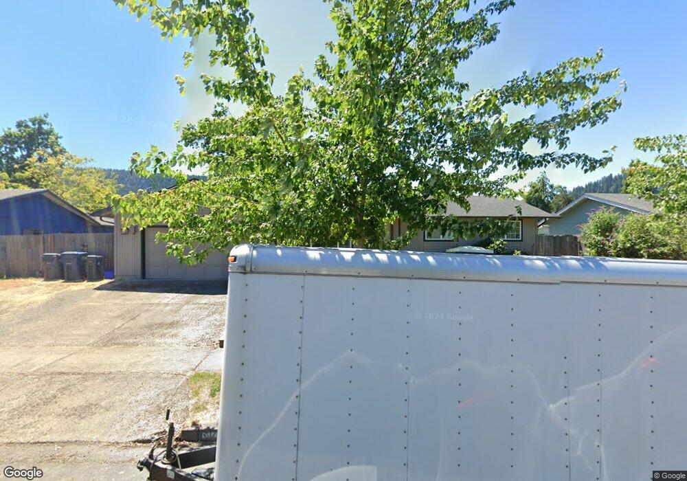
6979 D St Springfield, OR 97478
Thurston NeighborhoodEstimated Value: $364,462 - $417,000
3
Beds
2
Baths
1,106
Sq Ft
$352/Sq Ft
Est. Value
About This Home
This home is located at 6979 D St, Springfield, OR 97478 and is currently estimated at $389,616, approximately $352 per square foot. 6979 D St is a home located in Lane County with nearby schools including Thurston Elementary School, Thurston Middle School, and Thurston High School.
Ownership History
Date
Name
Owned For
Owner Type
Purchase Details
Closed on
May 4, 2016
Sold by
Trano Amberly and Trano Drew
Bought by
Rogers Sharryl E
Current Estimated Value
Purchase Details
Closed on
May 3, 2016
Sold by
Trano Amberly and Schaffer Donald F
Bought by
Trano Amberly and Trano Drew
Purchase Details
Closed on
May 2, 2011
Sold by
Federal National Mortgage Association
Bought by
Trano Amberly and Schaffer Donald F
Home Financials for this Owner
Home Financials are based on the most recent Mortgage that was taken out on this home.
Original Mortgage
$146,197
Interest Rate
4.77%
Mortgage Type
FHA
Purchase Details
Closed on
Sep 20, 2010
Sold by
Burns Kristopher and Burns Teresa
Bought by
Federal National Mortgage Association
Purchase Details
Closed on
Jul 10, 2002
Sold by
Gurule Rick and Gurule Darlene
Bought by
Burns Kristopher and Burns Teresa
Home Financials for this Owner
Home Financials are based on the most recent Mortgage that was taken out on this home.
Original Mortgage
$131,437
Interest Rate
6.71%
Mortgage Type
FHA
Create a Home Valuation Report for This Property
The Home Valuation Report is an in-depth analysis detailing your home's value as well as a comparison with similar homes in the area
Home Values in the Area
Average Home Value in this Area
Purchase History
| Date | Buyer | Sale Price | Title Company |
|---|---|---|---|
| Rogers Sharryl E | $205,000 | Cascade Title Company | |
| Trano Amberly | -- | Cascade Title Company | |
| Trano Amberly | $150,000 | Multiple | |
| Federal National Mortgage Association | $159,532 | Accommodation | |
| Burns Kristopher | $133,500 | Western Title & Escrow Compa |
Source: Public Records
Mortgage History
| Date | Status | Borrower | Loan Amount |
|---|---|---|---|
| Previous Owner | Trano Amberly | $146,197 | |
| Previous Owner | Burns Kristopher | $131,437 |
Source: Public Records
Tax History
| Year | Tax Paid | Tax Assessment Tax Assessment Total Assessment is a certain percentage of the fair market value that is determined by local assessors to be the total taxable value of land and additions on the property. | Land | Improvement |
|---|---|---|---|---|
| 2025 | $3,502 | $190,976 | -- | -- |
| 2024 | $3,445 | $185,414 | -- | -- |
| 2023 | $3,445 | $180,014 | $0 | $0 |
| 2022 | $3,191 | $174,771 | $0 | $0 |
| 2021 | $3,134 | $169,681 | $0 | $0 |
| 2020 | $3,042 | $164,739 | $0 | $0 |
| 2019 | $2,951 | $159,941 | $0 | $0 |
| 2018 | $2,781 | $150,760 | $0 | $0 |
| 2017 | $2,675 | $150,760 | $0 | $0 |
| 2016 | $2,618 | $146,369 | $0 | $0 |
| 2015 | $2,544 | $142,106 | $0 | $0 |
| 2014 | $2,505 | $137,967 | $0 | $0 |
Source: Public Records
Map
Nearby Homes
- 0 71st St
- 353 71st St
- 6875 B St
- 0 Omlid Dr Unit 1 706471345
- 0 Omlid Dr Unit 11
- 0 Omlid Dr Unit 27 796722689
- 0 Omlid Dr Unit 26 256458253
- 0 Omlid Dr Unit 10
- 0 Omlid Dr Unit 3 154724851
- 0 Omlid Dr Unit 2 312357104
- 250 68th St
- 246 S 70th St
- 6898 Thurston Rd
- 7080 Thurston Rd Unit 2
- 6964 Bluebelle Way
- 555 66th St
- 6540 B St
- 616 S 71st St
- 7027 S E St
- 0 S 69th Place
Your Personal Tour Guide
Ask me questions while you tour the home.