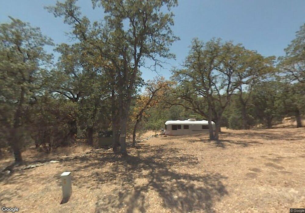
6995 Remunda Rd Unit Lot 1279 Corning, CA 96021
Estimated Value: $40,163 - $147,000
--
Bed
--
Bath
--
Sq Ft
1.5
Acres
About This Home
This home is located at 6995 Remunda Rd Unit Lot 1279, Corning, CA 96021 and is currently estimated at $76,388. 6995 Remunda Rd Unit Lot 1279 is a home located in Tehama County with nearby schools including Rancho Tehama Elementary School, Maywood Middle School, and Corning High School.
Ownership History
Date
Name
Owned For
Owner Type
Purchase Details
Closed on
Jun 18, 2013
Sold by
Freitas Helen A and Moulton Renee
Bought by
Chang Pamee
Current Estimated Value
Purchase Details
Closed on
Nov 6, 2001
Sold by
Freitas Helen A
Bought by
Freitas Helen A and Moulton Renee
Purchase Details
Closed on
Aug 23, 2001
Sold by
Arocha Saul
Bought by
Freitas Helen A
Home Financials for this Owner
Home Financials are based on the most recent Mortgage that was taken out on this home.
Original Mortgage
$2,400
Interest Rate
6.84%
Mortgage Type
Seller Take Back
Create a Home Valuation Report for This Property
The Home Valuation Report is an in-depth analysis detailing your home's value as well as a comparison with similar homes in the area
Home Values in the Area
Average Home Value in this Area
Purchase History
| Date | Buyer | Sale Price | Title Company |
|---|---|---|---|
| Chang Pamee | $18,000 | Placer Title Company | |
| Freitas Helen A | -- | -- | |
| Freitas Helen A | $4,000 | Fidelity National Title Co |
Source: Public Records
Mortgage History
| Date | Status | Borrower | Loan Amount |
|---|---|---|---|
| Previous Owner | Freitas Helen A | $2,400 |
Source: Public Records
Tax History Compared to Growth
Tax History
| Year | Tax Paid | Tax Assessment Tax Assessment Total Assessment is a certain percentage of the fair market value that is determined by local assessors to be the total taxable value of land and additions on the property. | Land | Improvement |
|---|---|---|---|---|
| 2025 | $155 | $14,704 | $14,704 | -- |
| 2023 | $152 | $14,134 | $14,134 | $0 |
| 2022 | $150 | $13,857 | $13,857 | $0 |
| 2021 | $144 | $13,586 | $13,586 | $0 |
| 2020 | $145 | $13,447 | $13,447 | $0 |
| 2019 | $140 | $13,184 | $13,184 | $0 |
| 2018 | $140 | $12,926 | $12,926 | $0 |
| 2017 | $139 | $12,673 | $12,673 | $0 |
| 2016 | $129 | $12,425 | $12,425 | $0 |
| 2015 | -- | $12,239 | $12,239 | $0 |
| 2014 | $126 | $12,000 | $12,000 | $0 |
Source: Public Records
Map
Nearby Homes
- 6920 Remunda Rd
- 16305 Hillcrest Dr
- 16295 Hillcrest Dr
- 16380 Hillcrest Dr Unit Lot 1104
- 16380 Hillcrest Dr
- 6915 Remunda Rd
- 16368 Lariat Loop
- 16495 Hillcrest Dr Unit Lot 1269
- 16495 Hillcrest Dr
- 6875 Remunda Rd
- 16405 Hillcrest Dr
- 7036 Maverick Rd
- 17007 Stagecoach Rd
- 16318 Longhorn Ln
- 7285 Bluebird Rd Unit Lot 978
- 7285 Bluebird Rd
- 7030 Oxyoke Bend
- 16432 Stagecoach Rd
- 16298 Lariat Loop Unit Lot 127
- 16298 Lariat Loop
- 6985 Remunda Rd
- 0 Remunda Rd Unit TC200800995
- 0 Remunda Rd Unit 200800995
- 1316 Remunda Rd
- 1278 Remunda Rd
- 1288 Remunda Rd
- 0 Remunda Rd Unit 6-5402
- 7010 Remunda Rd
- 7015 Remunda Rd
- 6975 Remunda Rd Unit Lot 1281
- 6970 Remunda Rd
- 7036 Lasso Ct
- 6942 Roundup Dr
- 1199 Roundup Dr
- 1199 Roundup Ave Unit 7047 Round Up Ave
- Lot 1264 Roundup Dr
- 7046 Lasso Ct
- 16668 Lariat Loop
- 16648 Lariat Loop
- 6925 Remunda Rd Unit Lot 1283