69951 Sno-Cap Ln Sisters, OR 97759
Estimated Value: $733,000 - $940,000
3
Beds
2
Baths
949
Sq Ft
$879/Sq Ft
Est. Value
About This Home
This home is located at 69951 Sno-Cap Ln, Sisters, OR 97759 and is currently estimated at $834,438, approximately $879 per square foot. 69951 Sno-Cap Ln is a home located in Deschutes County with nearby schools including Sisters Elementary School, Sisters Middle School, and Sisters High School.
Ownership History
Date
Name
Owned For
Owner Type
Purchase Details
Closed on
Oct 21, 2024
Sold by
Survivors Trust Of The Wilton Family Tru and Triano Rena M
Bought by
Triano Rena M
Current Estimated Value
Purchase Details
Closed on
Aug 22, 2008
Sold by
Wilton Harda
Bought by
Wilton Harda and Triano Rena M
Purchase Details
Closed on
Jun 16, 2004
Sold by
Wilton Harda
Bought by
Wilton Harda and Marital Trust Of The Wilton Family Trust
Create a Home Valuation Report for This Property
The Home Valuation Report is an in-depth analysis detailing your home's value as well as a comparison with similar homes in the area
Home Values in the Area
Average Home Value in this Area
Purchase History
| Date | Buyer | Sale Price | Title Company |
|---|---|---|---|
| Triano Rena M | -- | None Listed On Document | |
| Wilton Harda | -- | None Available | |
| Wilton Harda | -- | -- |
Source: Public Records
Tax History Compared to Growth
Tax History
| Year | Tax Paid | Tax Assessment Tax Assessment Total Assessment is a certain percentage of the fair market value that is determined by local assessors to be the total taxable value of land and additions on the property. | Land | Improvement |
|---|---|---|---|---|
| 2025 | $4,517 | $287,080 | -- | -- |
| 2024 | $4,377 | $278,720 | -- | -- |
| 2023 | $4,254 | $270,610 | $0 | $0 |
| 2022 | $3,923 | $255,080 | $0 | $0 |
| 2021 | $3,946 | $247,660 | $0 | $0 |
| 2020 | $3,747 | $247,660 | $0 | $0 |
| 2019 | $3,659 | $240,450 | $0 | $0 |
| 2018 | $3,541 | $233,450 | $0 | $0 |
| 2017 | $3,433 | $226,660 | $0 | $0 |
| 2016 | $3,390 | $220,060 | $0 | $0 |
| 2015 | $3,178 | $213,660 | $0 | $0 |
| 2014 | $3,075 | $207,440 | $0 | $0 |
Source: Public Records
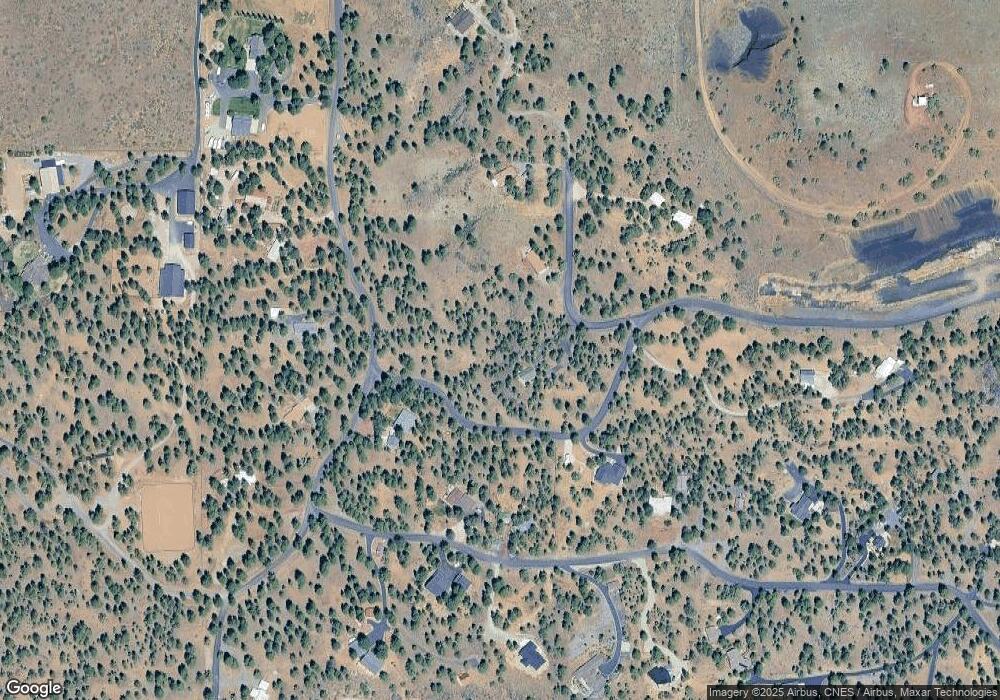
Map
Nearby Homes
- 16966 Canyon Crest Dr
- 70127 Appaloosa Dr
- 70129 Cayuse Dr
- 69580 Pine Ridge Dr
- 16630 Wilt Rd
- 16465 Suntree Ln
- 70266 Sorrell Dr
- 69482 Panoramic Dr
- 70120 Mustang Dr
- 17400 Spur Dr
- 69960 Camp Polk Rd
- 69856 Camp Polk Rd
- 69305 Hawksflight Dr
- 70325 Club Rd
- 16923 Royal Coachman Dr
- 16823 Royal Coachman Dr
- 69987 W Meadow Pkwy
- 17720 Mountain View Rd
- 16921 Lady Caroline Dr
- 69150 Butcher Block Blvd
- 69944 Stardust Ln
- 16880 Vista Ridge Dr
- 16840 Canyon Crest Dr
- 69988 Sno Cap Ln
- 69961 Stardust Ln
- 16847 Canyon Crest Dr
- 69876 Stardust Ln
- 16912 Canyon Crest Dr
- 69947 Stardust Ln
- 16867 Canyon Crest Dr
- 16881 Canyon Crest Dr
- 69981 Stardust Ln
- 16899 Canyon Crest Dr
- 69933 Stardust Ln
- 16851 Canyon Crest Dr
- 69991 Stardust Ln
- 16831 Canyon Crest Dr
- 16915 Canyon Crest Dr