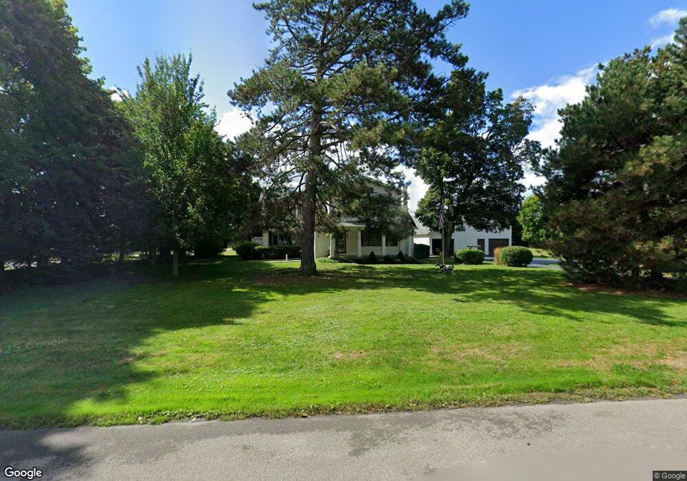
6996 Chestnut Ridge Rd Lockport, NY 14094
Estimated Value: $333,000 - $494,279
4
Beds
3
Baths
3,686
Sq Ft
$116/Sq Ft
Est. Value
About This Home
This home is located at 6996 Chestnut Ridge Rd, Lockport, NY 14094 and is currently estimated at $428,070, approximately $116 per square foot. 6996 Chestnut Ridge Rd is a home located in Niagara County with nearby schools including Aaron Mossell Junior High School, Lockport High School, and DeSales Catholic School.
Ownership History
Date
Name
Owned For
Owner Type
Purchase Details
Closed on
Nov 9, 2020
Sold by
Carlisle John W
Bought by
Carlisle Philip M
Current Estimated Value
Create a Home Valuation Report for This Property
The Home Valuation Report is an in-depth analysis detailing your home's value as well as a comparison with similar homes in the area
Home Values in the Area
Average Home Value in this Area
Purchase History
| Date | Buyer | Sale Price | Title Company |
|---|---|---|---|
| Carlisle Philip M | -- | None Available |
Source: Public Records
Tax History Compared to Growth
Tax History
| Year | Tax Paid | Tax Assessment Tax Assessment Total Assessment is a certain percentage of the fair market value that is determined by local assessors to be the total taxable value of land and additions on the property. | Land | Improvement |
|---|---|---|---|---|
| 2024 | $9,359 | $350,000 | $22,100 | $327,900 |
| 2023 | $8,992 | $326,000 | $22,100 | $303,900 |
| 2022 | $8,896 | $296,000 | $22,100 | $273,900 |
| 2021 | $9,331 | $257,000 | $22,100 | $234,900 |
| 2020 | $7,283 | $257,000 | $22,100 | $234,900 |
| 2019 | $3,519 | $244,500 | $22,100 | $222,400 |
| 2018 | $6,408 | $211,400 | $22,100 | $189,300 |
| 2017 | $6,548 | $211,400 | $22,100 | $189,300 |
| 2016 | $6,137 | $199,000 | $22,100 | $176,900 |
| 2015 | -- | $199,000 | $22,100 | $176,900 |
| 2014 | -- | $184,300 | $22,700 | $161,600 |
Source: Public Records
Map
Nearby Homes
- 4640 Day Rd
- 1215 Ridgewood Dr
- 133 Windermere Rd
- 4 Longcroft Dr
- 1020 N Circle Dr
- 6683 N Canal Rd
- 7308 Rochester Rd
- 7338 Rochester Rd
- 7216 V/LOT Groff Wilson Rd
- 42 Beverly Ave
- 35 Beverly Ave
- 715 Market St
- 363 Davison Rd
- 24 Utica St
- 7406 Chestnut Ridge Rd
- 6856 E High St
- 6836 E High St
- 15 Cleveland Place
- 33 Irving St
- 47 Vine St
- 7028 Chestnut Ridge Rd
- 7032 Chestnut Ridge Rd
- 6980 Chestnut Ridge Rd
- 6995 Chestnut Ridge Rd
- 7027 Chestnut Ridge Rd
- 6991 Chestnut Ridge Rd
- 7036 Chestnut Ridge Rd
- 6985 Cambridge Dr
- 6987 Chestnut Ridge Rd
- 6983 Chestnut Ridge Rd
- 7040 Chestnut Ridge Rd
- 6976 Chestnut Ridge Rd
- 7000 Cambridge Dr Unit 7002
- 7000-7002 Cambridge Dr
- 4685 Day Rd
- 4688 Day Rd
- 6988 Cambridge Ville
- 6975 Chestnut Ridge Rd
- 6990 Cambridge Dr
- 4801A Sturbridge Ln