7 Aspen Cir Andover, MA 01810
Far West Andover NeighborhoodEstimated Value: $1,116,960 - $1,227,000
4
Beds
4
Baths
3,723
Sq Ft
$315/Sq Ft
Est. Value
About This Home
This home is located at 7 Aspen Cir, Andover, MA 01810 and is currently estimated at $1,171,490, approximately $314 per square foot. 7 Aspen Cir is a home located in Essex County with nearby schools including High Plain Elementary School, Wood Hill Middle School, and Andover High School.
Ownership History
Date
Name
Owned For
Owner Type
Purchase Details
Closed on
Sep 23, 2005
Sold by
Bellorado Christine M
Bought by
Makiej Christopher P and Makiej Katerina S
Current Estimated Value
Home Financials for this Owner
Home Financials are based on the most recent Mortgage that was taken out on this home.
Original Mortgage
$390,000
Outstanding Balance
$209,568
Interest Rate
5.92%
Mortgage Type
Purchase Money Mortgage
Estimated Equity
$961,922
Create a Home Valuation Report for This Property
The Home Valuation Report is an in-depth analysis detailing your home's value as well as a comparison with similar homes in the area
Home Values in the Area
Average Home Value in this Area
Purchase History
| Date | Buyer | Sale Price | Title Company |
|---|---|---|---|
| Makiej Christopher P | $585,000 | -- |
Source: Public Records
Mortgage History
| Date | Status | Borrower | Loan Amount |
|---|---|---|---|
| Open | Makiej Christopher P | $390,000 |
Source: Public Records
Tax History
| Year | Tax Paid | Tax Assessment Tax Assessment Total Assessment is a certain percentage of the fair market value that is determined by local assessors to be the total taxable value of land and additions on the property. | Land | Improvement |
|---|---|---|---|---|
| 2024 | $10,474 | $813,200 | $444,800 | $368,400 |
| 2023 | $10,134 | $741,900 | $400,500 | $341,400 |
| 2022 | $9,325 | $638,700 | $348,400 | $290,300 |
| 2021 | $8,965 | $586,300 | $316,600 | $269,700 |
| 2020 | $8,641 | $575,700 | $309,000 | $266,700 |
| 2019 | $8,585 | $562,200 | $299,900 | $262,300 |
| 2018 | $8,330 | $532,600 | $288,500 | $244,100 |
| 2017 | $7,997 | $526,800 | $282,700 | $244,100 |
| 2016 | $7,838 | $528,900 | $282,700 | $246,200 |
| 2015 | $7,585 | $506,700 | $271,700 | $235,000 |
Source: Public Records
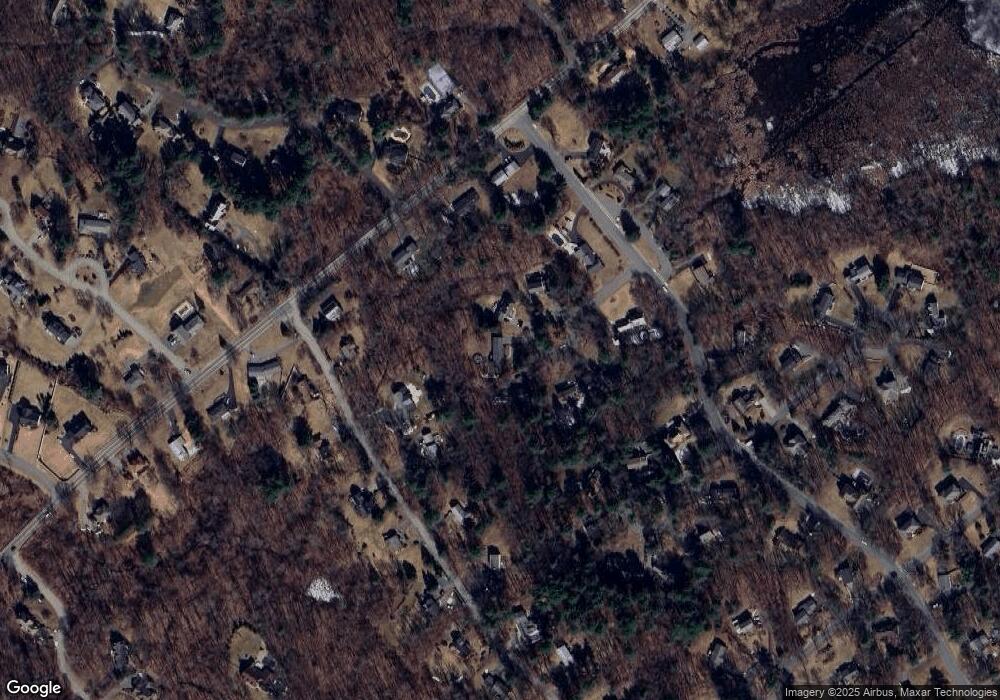
Map
Nearby Homes
- 2 Greybirch Rd
- 322 River Rd
- 46 Hopkins Cir
- 18 Ravens Bluff
- 29 Stoneybrook Cir
- 750 Brookside Dr Unit G
- 2 Francis Dr Unit 405
- 4 Francis Dr Unit 312
- 4 Francis Dr Unit 207
- 2 Francis Dr Unit 301
- 2 Weeping Willow Dr
- 2 Boardwalk Dr
- 4 Weeping Willow Dr
- 5 Weeping Willow Dr
- 31 Varnum Ave
- 9 Oakland Rd
- 30 Parker Rd
- 821 Merrimack Ave
- 58 Chandler Rd
- 5 Crestwood Cir
Your Personal Tour Guide
Ask me questions while you tour the home.