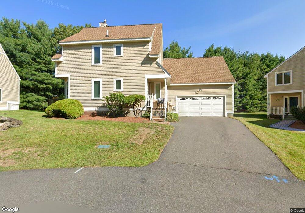
7 Austin Cir Unit U40 Nashua, NH 03063
Northwest Nashua NeighborhoodEstimated Value: $483,000 - $491,000
2
Beds
2
Baths
1,607
Sq Ft
$303/Sq Ft
Est. Value
About This Home
This home is located at 7 Austin Cir Unit U40, Nashua, NH 03063 and is currently estimated at $486,456, approximately $302 per square foot. 7 Austin Cir Unit U40 is a home located in Hillsborough County with nearby schools including Birch Hill Elementary School, Elm Street Middle School, and Nashua High School North.
Ownership History
Date
Name
Owned For
Owner Type
Purchase Details
Closed on
Apr 19, 2002
Sold by
Hughes Kristine F
Bought by
Herrick Edward G
Current Estimated Value
Home Financials for this Owner
Home Financials are based on the most recent Mortgage that was taken out on this home.
Original Mortgage
$187,900
Outstanding Balance
$78,116
Interest Rate
6.85%
Estimated Equity
$408,340
Purchase Details
Closed on
Apr 1, 1999
Sold by
Wilkie Robert B and Wilkie Jean M
Bought by
Hughes Kristine F
Home Financials for this Owner
Home Financials are based on the most recent Mortgage that was taken out on this home.
Original Mortgage
$73,000
Interest Rate
6.78%
Create a Home Valuation Report for This Property
The Home Valuation Report is an in-depth analysis detailing your home's value as well as a comparison with similar homes in the area
Home Values in the Area
Average Home Value in this Area
Purchase History
| Date | Buyer | Sale Price | Title Company |
|---|---|---|---|
| Herrick Edward G | $234,900 | -- | |
| Hughes Kristine F | $163,000 | -- |
Source: Public Records
Mortgage History
| Date | Status | Borrower | Loan Amount |
|---|---|---|---|
| Open | Hughes Kristine F | $187,900 | |
| Previous Owner | Hughes Kristine F | $73,000 |
Source: Public Records
Tax History Compared to Growth
Tax History
| Year | Tax Paid | Tax Assessment Tax Assessment Total Assessment is a certain percentage of the fair market value that is determined by local assessors to be the total taxable value of land and additions on the property. | Land | Improvement |
|---|---|---|---|---|
| 2024 | $6,804 | $427,900 | $0 | $427,900 |
| 2023 | $6,689 | $366,900 | $0 | $366,900 |
| 2022 | $6,630 | $366,900 | $0 | $366,900 |
| 2021 | $6,664 | $287,000 | $0 | $287,000 |
| 2020 | $6,564 | $290,300 | $0 | $290,300 |
| 2019 | $6,317 | $290,300 | $0 | $290,300 |
| 2018 | $6,157 | $290,300 | $0 | $290,300 |
| 2017 | $6,115 | $237,100 | $0 | $237,100 |
| 2016 | $5,944 | $237,100 | $0 | $237,100 |
| 2015 | $5,816 | $237,100 | $0 | $237,100 |
| 2014 | $5,702 | $237,100 | $0 | $237,100 |
Source: Public Records
Map
Nearby Homes
- 4 Jared Cir Unit U21
- 5 Chatfield Dr Unit U18
- 7 Robert Dr
- 19 Dunloggin Rd
- 239 Broad St
- 36 Hampton Dr
- 74 Profile Cir
- 123 Cannongate III
- 58 Profile Cir
- 424 Broad St
- 14 Parrish Hill Dr
- 3 Wright Rd
- 6 Cornwall Ln Unit 7
- 22 Berkshire Rd
- 22 Cathedral Cir
- 5 Meghan Dr Unit U23
- 11 Inca Dr
- 77 Deerwood Dr Unit E
- 26 Andover Down Unit 276
- 75 Deerwood Dr Unit B
- 5 Austin Cir Unit U41
- 004-5 Austin Ln
- 6 Austin Cir Unit U39
- 3 Austin Cir Unit U42
- 2 Chatfield Dr Unit U43
- 2A Chatfield Dr Unit U38
- 4 Chatfield Dr Unit U44
- 2 Austin Cir Unit U37
- 137 Pine Hill Rd
- 1 Jared Cir Unit 1
- 11 Chatfield Dr Unit U15
- 139 Pine Hill Rd
- 3 Casey Cir Unit U36
- 15 Chatfield Dr Unit U14
- 7 Chatfield Dr Unit U17
- 5 Chatfield Dr Unit 18
- 2 Casey Cir Unit U31
- 9 Chatfield Dr Unit U16
- 3 Chatfield Dr Unit U19
- 17 Chatfield Dr Unit U13