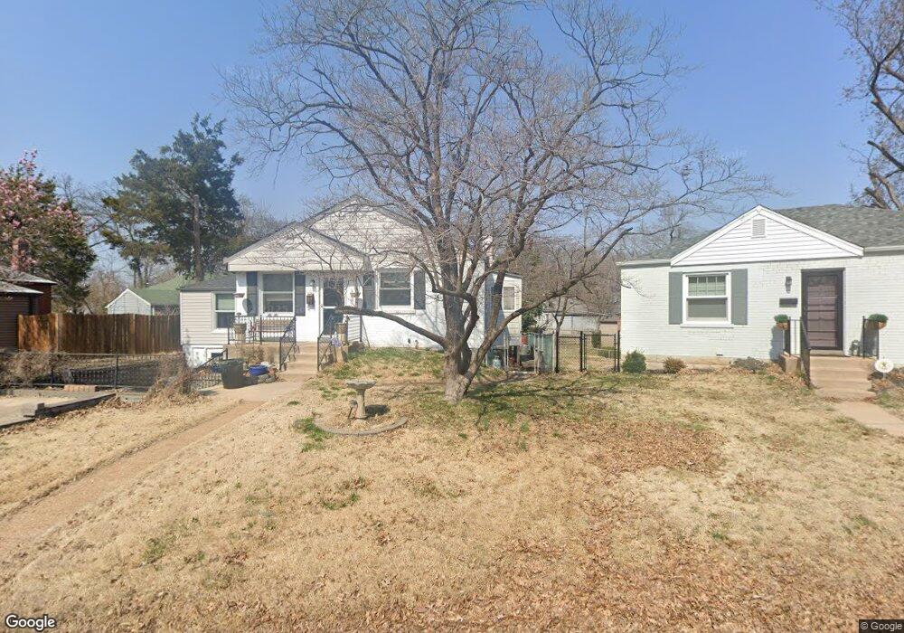
7 Barnstable Dr Saint Louis, MO 63144
Estimated Value: $276,000 - $319,000
2
Beds
1
Bath
1,032
Sq Ft
$282/Sq Ft
Est. Value
About This Home
This home is located at 7 Barnstable Dr, Saint Louis, MO 63144 and is currently estimated at $291,386, approximately $282 per square foot. 7 Barnstable Dr is a home located in St. Louis County with nearby schools including Brentwood High School and St Mary Magdalen School.
Ownership History
Date
Name
Owned For
Owner Type
Purchase Details
Closed on
May 28, 1997
Sold by
Howe Properties Incorporated
Bought by
Brown James M and Brown Jill K
Current Estimated Value
Home Financials for this Owner
Home Financials are based on the most recent Mortgage that was taken out on this home.
Original Mortgage
$83,000
Outstanding Balance
$11,535
Interest Rate
8.17%
Estimated Equity
$279,851
Create a Home Valuation Report for This Property
The Home Valuation Report is an in-depth analysis detailing your home's value as well as a comparison with similar homes in the area
Home Values in the Area
Average Home Value in this Area
Purchase History
| Date | Buyer | Sale Price | Title Company |
|---|---|---|---|
| Brown James M | -- | -- |
Source: Public Records
Mortgage History
| Date | Status | Borrower | Loan Amount |
|---|---|---|---|
| Open | Brown James M | $83,000 |
Source: Public Records
Tax History Compared to Growth
Tax History
| Year | Tax Paid | Tax Assessment Tax Assessment Total Assessment is a certain percentage of the fair market value that is determined by local assessors to be the total taxable value of land and additions on the property. | Land | Improvement |
|---|---|---|---|---|
| 2025 | $3,231 | $54,400 | $27,190 | $27,210 |
| 2024 | $3,231 | $46,570 | $21,740 | $24,830 |
| 2023 | $3,143 | $46,570 | $21,740 | $24,830 |
| 2022 | $2,722 | $37,830 | $21,740 | $16,090 |
| 2021 | $2,700 | $37,830 | $21,740 | $16,090 |
| 2020 | $2,630 | $36,480 | $19,040 | $17,440 |
| 2019 | $2,581 | $36,480 | $19,040 | $17,440 |
| 2018 | $2,698 | $34,640 | $15,220 | $19,420 |
| 2017 | $2,634 | $34,640 | $15,220 | $19,420 |
| 2016 | $2,336 | $29,090 | $13,320 | $15,770 |
| 2015 | $2,320 | $29,090 | $13,320 | $15,770 |
| 2014 | $2,048 | $25,520 | $8,340 | $17,180 |
Source: Public Records
Map
Nearby Homes
- 2503 Louis Ave
- 2506 Helen Ave
- 8510 Eulalie Ave
- 2655 Salem Rd
- 8614 Henrietta Ave
- 8126 Fawn Ave
- 8106 Fawn Ave
- 8652 White Ave
- 8714 Eulalie Ave
- 8718 Eulalie Ave
- 8724 Magdalen Ave
- 1270 Strassner Dr Unit 3110
- 1241 Strassner Dr Unit 1308
- 2438 Annalee Ave
- 8828 Madge Ave
- 2829 Brazeau Ave
- 2713 Laclede Station Rd Unit 2713
- 2017 Woodsey Dr
- 2911 Brazeau Ave
- 2023 Urban Dr
- 6 Barnstable Dr
- 2468 Salem Rd
- 6 Barnstable Ct
- 2462 Salem Rd
- 1 Marblehead Dr
- 2458 Salem Rd
- 5 Barnstable Dr
- 9 Barnstable Ct
- 9 Barnstable Dr
- 2 Marblehead Dr
- 2452 Salem Rd
- 1 Barnstable Dr
- 4 Barnstable Dr
- 2 Barnstable Dr
- 2 Barnstable Ct
- 2448 Salem Rd
- 2508 Salem Rd
- 3 Barnstable Dr
- 3 Marblehead Dr
- 2451 Salem Rd