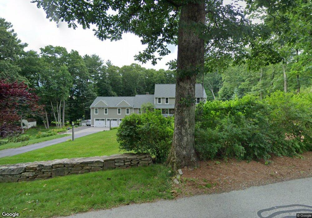
7 Burnap Rd Sutton, MA 01590
Estimated Value: $877,000 - $993,000
4
Beds
3
Baths
2,690
Sq Ft
$345/Sq Ft
Est. Value
About This Home
This home is located at 7 Burnap Rd, Sutton, MA 01590 and is currently estimated at $926,739, approximately $344 per square foot. 7 Burnap Rd is a home located in Worcester County with nearby schools including Sutton Elementary School, Sutton Middle School, and Sutton High School.
Ownership History
Date
Name
Owned For
Owner Type
Purchase Details
Closed on
Jul 12, 2022
Sold by
Harrison Timothy J and Harrison Denise M
Bought by
Harrison Ft 2022
Current Estimated Value
Purchase Details
Closed on
Jan 29, 1999
Sold by
Chabot Stephen J
Bought by
Harrison Timothy J and Harrison Denise M
Purchase Details
Closed on
Oct 7, 1997
Sold by
Panaccione Mark J
Bought by
Chabot Stephen J
Create a Home Valuation Report for This Property
The Home Valuation Report is an in-depth analysis detailing your home's value as well as a comparison with similar homes in the area
Home Values in the Area
Average Home Value in this Area
Purchase History
| Date | Buyer | Sale Price | Title Company |
|---|---|---|---|
| Harrison Ft 2022 | -- | None Available | |
| Harrison Timothy J | $357,427 | -- | |
| Chabot Stephen J | $85,000 | -- |
Source: Public Records
Mortgage History
| Date | Status | Borrower | Loan Amount |
|---|---|---|---|
| Previous Owner | Chabot Stephen J | $260,000 | |
| Previous Owner | Chabot Stephen J | $50,000 | |
| Previous Owner | Chabot Stephen J | $350,000 |
Source: Public Records
Tax History
| Year | Tax Paid | Tax Assessment Tax Assessment Total Assessment is a certain percentage of the fair market value that is determined by local assessors to be the total taxable value of land and additions on the property. | Land | Improvement |
|---|---|---|---|---|
| 2025 | $10,784 | $897,200 | $183,800 | $713,400 |
| 2024 | $10,240 | $807,600 | $150,600 | $657,000 |
| 2023 | $10,367 | $748,500 | $131,900 | $616,600 |
| 2022 | $10,547 | $694,800 | $133,400 | $561,400 |
| 2021 | $10,246 | $640,400 | $133,400 | $507,000 |
| 2020 | $10,157 | $640,400 | $133,400 | $507,000 |
| 2019 | $8,156 | $493,700 | $133,400 | $360,300 |
| 2018 | $7,817 | $472,300 | $133,400 | $338,900 |
| 2017 | $7,669 | $464,800 | $117,300 | $347,500 |
| 2016 | $7,538 | $451,900 | $117,300 | $334,600 |
| 2015 | $7,252 | $434,800 | $117,300 | $317,500 |
| 2014 | $7,017 | $415,700 | $123,600 | $292,100 |
Source: Public Records
Map
Nearby Homes
- 229 Worcester-Providence Turnpike
- 175 Armsby Rd
- 1 Burbank Rd
- 20 Millers Way Unit C
- 82 Central Turnpike
- 5 Wildflower Dr
- 99 Burbank Rd
- 99 Burbank Road Lot 182
- 31 Central Turnpike
- 51 Central Turnpike
- 198 Uxbridge Rd
- 51 Lincoln Rd
- 66 Buttonwood Ave
- 90 Leland Hill Rd
- 5 Hamlets Way
- 20 Wunschel Dr
- 7 Central Turnpike
- 5 Putnam Hill Rd
- 168 Burbank Rd
- 150 Ariel Cir
- 114 Armsby Rd
- 118 Armsby Rd
- 118 Armsby Rd
- 118 Armsby Rd Unit 118
- 11 Burnap Rd
- 10 Burnap Rd
- 122 Armsby Rd
- 1 Burnap Rd
- 108 Armsby Rd
- 17 Burnap Rd
- 16 Burnap Rd
- 2 Burnap Rd
- 14 Fairway View Dr Unit 80
- 14 Fairway View Dr Unit 14
- 125 Armsby Rd
- 11 Fairway View Dr Unit 76
- 11 Fairway View Dr Unit 11
- 128 Armsby Rd -Rt 146
- 15 Fairway View Dr Unit 77
- 6 Butternut Rd
Your Personal Tour Guide
Ask me questions while you tour the home.