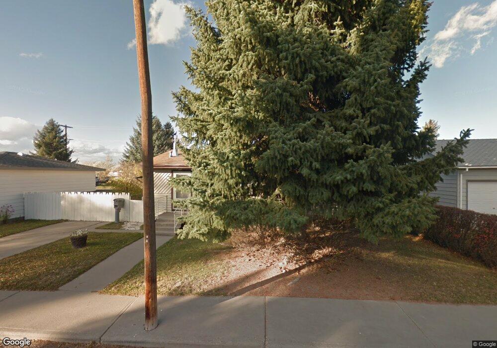
7 Cloudrest St Dillon, MT 59725
Estimated Value: $288,147 - $305,000
3
Beds
2
Baths
1,064
Sq Ft
$278/Sq Ft
Est. Value
About This Home
This home is located at 7 Cloudrest St, Dillon, MT 59725 and is currently estimated at $295,716, approximately $277 per square foot. 7 Cloudrest St is a home located in Beaverhead County with nearby schools including Parkview School, Dillon Middle School, and Beaverhead Co High School.
Ownership History
Date
Name
Owned For
Owner Type
Purchase Details
Closed on
Jun 9, 2025
Sold by
Dye William L and Johnson Darlene R
Bought by
Dye Troy Wade and Dye Ma C
Current Estimated Value
Home Financials for this Owner
Home Financials are based on the most recent Mortgage that was taken out on this home.
Original Mortgage
$274,725
Outstanding Balance
$274,013
Interest Rate
6.76%
Mortgage Type
FHA
Estimated Equity
$21,703
Purchase Details
Closed on
Oct 30, 2017
Sold by
Johnson Darlene R
Bought by
Johnson Darlene R
Create a Home Valuation Report for This Property
The Home Valuation Report is an in-depth analysis detailing your home's value as well as a comparison with similar homes in the area
Home Values in the Area
Average Home Value in this Area
Purchase History
| Date | Buyer | Sale Price | Title Company |
|---|---|---|---|
| Dye Troy Wade | -- | Flying S Title And Escrow | |
| Dye Troy Wade | -- | Flying S Title And Escrow | |
| Johnson Darlene R | -- | None Available |
Source: Public Records
Mortgage History
| Date | Status | Borrower | Loan Amount |
|---|---|---|---|
| Open | Dye Troy Wade | $274,725 | |
| Closed | Dye Troy Wade | $274,725 |
Source: Public Records
Tax History
| Year | Tax Paid | Tax Assessment Tax Assessment Total Assessment is a certain percentage of the fair market value that is determined by local assessors to be the total taxable value of land and additions on the property. | Land | Improvement |
|---|---|---|---|---|
| 2025 | $1,639 | $273,300 | $0 | $0 |
| 2024 | $1,230 | $235,700 | $0 | $0 |
| 2023 | $1,340 | $235,700 | $0 | $0 |
| 2022 | $1,065 | $160,100 | $0 | $0 |
| 2021 | $850 | $160,100 | $0 | $0 |
| 2020 | $1,036 | $137,800 | $0 | $0 |
| 2019 | $998 | $137,800 | $0 | $0 |
| 2018 | $762 | $149,800 | $0 | $0 |
| 2017 | -- | $149,800 | $0 | $0 |
| 2016 | -- | $145,800 | $0 | $0 |
| 2015 | -- | $145,800 | $0 | $0 |
| 2014 | -- | $73,458 | $0 | $0 |
Source: Public Records
Map
Nearby Homes
- 43 Tobacco Root Rd
- 31 Tobacco Root Rd
- 9 Skihi St
- 343 N Montana St
- 23 Sunrise St
- 108 Cloudrest St
- 130 Thomas Way
- 92 Thomas Way
- 120 Thomas Way
- 104 Timmons
- 502 Vine St
- 434 Barnett Ave
- 804 N Rife St
- 504 Barnett Ave
- 652 Kentucky Ave
- 206 N Pacific St
- 30 N Walnut St
- 35 E Bannack St
- 31 N Dakota St
- 250 Pioneer Dr
- 11 Cloudrest St
- 3 Cloudrest St
- 108 Tobacco Root Rd
- 19 Cloudrest St
- 12 Cloudrest St
- 16 Sunrise St
- 2 Cloudrest St
- 16 Cloudrest St
- 23 Cloudrest St
- 20 Cloudrest St
- 22 Sunrise St
- 27 Cloudrest St
- 4 Tobacco Root Rd
- 13 Sunrise St
- 15 Skihi St
- 28 Sunrise St
- 26 Cloudrest St
- 19 Sunrise St
- 19 Skihi St
- 45 Tobacco Root Rd
Your Personal Tour Guide
Ask me questions while you tour the home.