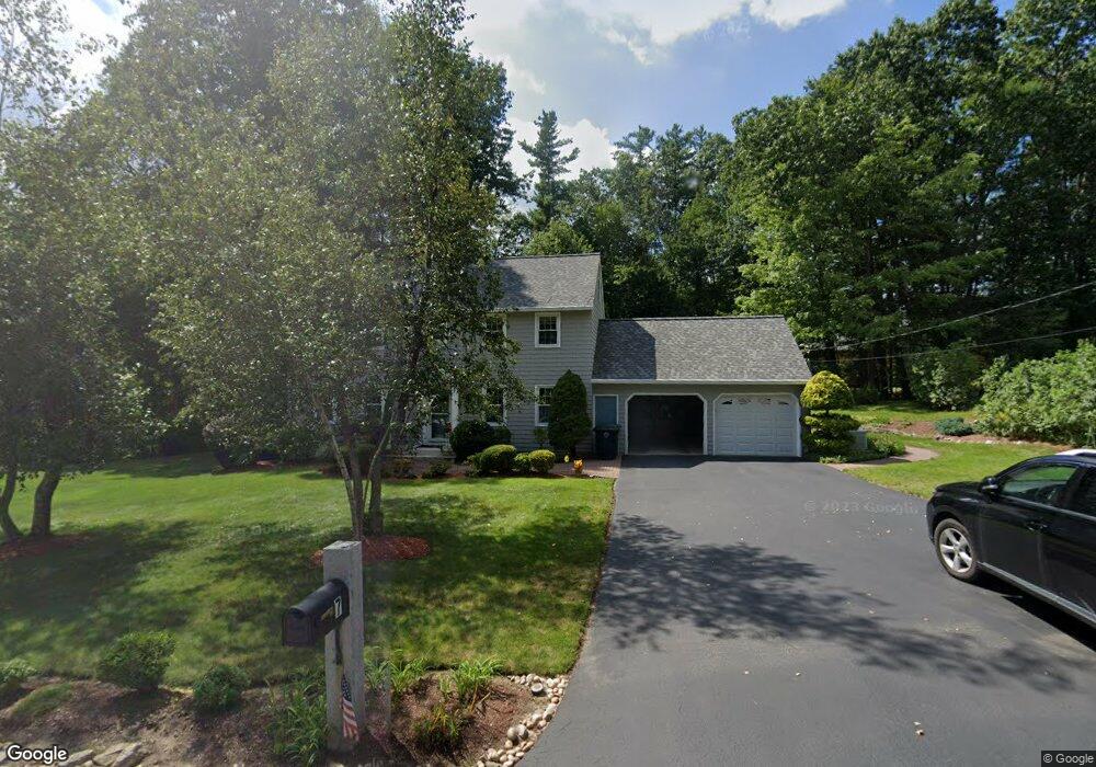
7 Coleridge Rd Nashua, NH 03062
Southwest Nashua NeighborhoodEstimated Value: $613,000 - $700,000
4
Beds
3
Baths
1,900
Sq Ft
$346/Sq Ft
Est. Value
About This Home
This home is located at 7 Coleridge Rd, Nashua, NH 03062 and is currently estimated at $656,461, approximately $345 per square foot. 7 Coleridge Rd is a home located in Hillsborough County with nearby schools including Bicentennial Elementary School, Fairgrounds Middle School, and Nashua High School South.
Ownership History
Date
Name
Owned For
Owner Type
Purchase Details
Closed on
Apr 24, 2018
Sold by
Abramson Jerold A and Abramson Janet L
Bought by
Jerold and Jerold Janet Abramson
Current Estimated Value
Purchase Details
Closed on
Jul 31, 2003
Sold by
Tandon Pankaj and Tandon Surekha
Bought by
Abramson Jerold A and Abramson Janet L
Purchase Details
Closed on
Jul 2, 1998
Sold by
Hammond Frederick M and Hammond Floranne G
Bought by
Tandon Pankaj and Tandon Surekha
Create a Home Valuation Report for This Property
The Home Valuation Report is an in-depth analysis detailing your home's value as well as a comparison with similar homes in the area
Home Values in the Area
Average Home Value in this Area
Purchase History
| Date | Buyer | Sale Price | Title Company |
|---|---|---|---|
| Jerold | -- | -- | |
| Abramson Jerold A | $339,000 | -- | |
| Tandon Pankaj | $212,000 | -- |
Source: Public Records
Mortgage History
| Date | Status | Borrower | Loan Amount |
|---|---|---|---|
| Previous Owner | Tandon Pankaj | $190,000 | |
| Previous Owner | Tandon Pankaj | $209,500 | |
| Previous Owner | Tandon Pankaj | $55,000 |
Source: Public Records
Tax History Compared to Growth
Tax History
| Year | Tax Paid | Tax Assessment Tax Assessment Total Assessment is a certain percentage of the fair market value that is determined by local assessors to be the total taxable value of land and additions on the property. | Land | Improvement |
|---|---|---|---|---|
| 2024 | $8,756 | $550,700 | $180,800 | $369,900 |
| 2023 | $8,324 | $456,600 | $144,600 | $312,000 |
| 2022 | $8,251 | $456,600 | $144,600 | $312,000 |
| 2021 | $7,567 | $325,900 | $106,000 | $219,900 |
| 2020 | $7,369 | $325,900 | $106,000 | $219,900 |
| 2019 | $7,092 | $325,900 | $106,000 | $219,900 |
| 2018 | $7,050 | $325,900 | $106,000 | $219,900 |
| 2017 | $6,953 | $269,600 | $91,600 | $178,000 |
| 2016 | $6,759 | $269,600 | $91,600 | $178,000 |
| 2015 | $6,613 | $269,600 | $91,600 | $178,000 |
| 2014 | $6,484 | $269,600 | $91,600 | $178,000 |
Source: Public Records
Map
Nearby Homes
- 125 Lille Rd
- 29 Dickens St
- 285 E Dunstable Rd
- 10 Lamb Rd
- 84 Hawthorne Village Rd Unit U414
- 16 Mountain Laurels Dr Unit 402
- 10 Mountain Laurels Dr Unit 606
- 9 Byron Dr
- 57 Wethersfield Rd
- 51 Legacy Dr
- 92 Bluestone Dr
- 85 Bluestone Dr
- 73 Bluestone Dr
- 19 Georgetown Dr
- 210 Brook Village Rd Unit U43
- 61 Spindlewick Dr
- 18 Cadogan Way Unit UY250
- 32 Cadogan Way Unit UZ257
- 6 Heritage Village Dr Unit U606
- 4 Heritage Village Dr Unit 211