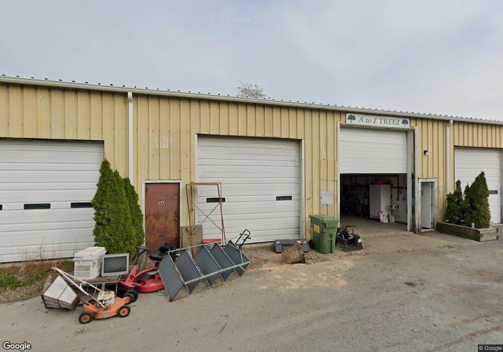
7 Commerce Dr Orleans, MA 2653
Estimated Value: $1,110,665
Studio
--
Bath
7,200
Sq Ft
$154/Sq Ft
Est. Value
About This Home
This home is located at 7 Commerce Dr, Orleans, MA 2653 and is currently estimated at $1,110,665, approximately $154 per square foot. 7 Commerce Dr is a home located in Barnstable County with nearby schools including Orleans Elementary School, Nauset Regional Middle School, and Nauset Regional High School.
Ownership History
Date
Name
Owned For
Owner Type
Purchase Details
Closed on
Aug 10, 1998
Sold by
Garrison T and Toppi Mary Helen
Bought by
Commerce Nt and Quinn Forrester L
Current Estimated Value
Home Financials for this Owner
Home Financials are based on the most recent Mortgage that was taken out on this home.
Original Mortgage
$187,500
Outstanding Balance
$39,116
Interest Rate
6.92%
Mortgage Type
Commercial
Estimated Equity
$1,071,549
Create a Home Valuation Report for This Property
The Home Valuation Report is an in-depth analysis detailing your home's value as well as a comparison with similar homes in the area
Home Values in the Area
Average Home Value in this Area
Purchase History
| Date | Buyer | Sale Price | Title Company |
|---|---|---|---|
| Commerce Nt | $215,000 | -- |
Source: Public Records
Mortgage History
| Date | Status | Borrower | Loan Amount |
|---|---|---|---|
| Open | Commerce Nt | $187,500 |
Source: Public Records
Tax History
| Year | Tax Paid | Tax Assessment Tax Assessment Total Assessment is a certain percentage of the fair market value that is determined by local assessors to be the total taxable value of land and additions on the property. | Land | Improvement |
|---|---|---|---|---|
| 2025 | $3,514 | $563,100 | $298,200 | $264,900 |
| 2024 | $3,465 | $540,600 | $289,700 | $250,900 |
| 2023 | $3,152 | $506,000 | $268,200 | $237,800 |
| 2022 | $3,216 | $446,600 | $243,800 | $202,800 |
| 2021 | $3,435 | $438,100 | $236,700 | $201,400 |
| 2020 | $3,314 | $438,400 | $236,700 | $201,700 |
| 2019 | $3,198 | $432,100 | $232,100 | $200,000 |
| 2018 | $2,780 | $419,300 | $220,900 | $198,400 |
| 2017 | $1,399 | $409,600 | $216,600 | $193,000 |
| 2016 | $2,633 | $407,600 | $214,500 | $193,100 |
| 2015 | $2,626 | $409,000 | $210,200 | $198,800 |
Source: Public Records
Map
Nearby Homes
- 190 Rt 6a Unit 9B
- 47 Daley Terrace
- 18 West Rd Unit 307
- 18 West Rd Unit 315
- 18 West Rd Unit 202
- 67 Bakers Pond Rd
- 54 Old Colony Way Unit G
- 54 Old Colony Way Unit G
- 42 Old Colony Way Unit 15
- 42 Old Colony Way Unit 29
- 42 Old Colony Way Unit 5
- 42 Old Colony Way Unit 30
- 42 Old Colony Way Unit 14
- 36 Old Colony Way Unit 21
- 36 Old Colony Way Unit 3022
- 15 Morgan's Way
- 15 Morgans Way
- 44 Tonset Rd
- 17 Kings Way
- 12 Phoebes Close
- 7 Commerce Dr
- 17 Industry Way
- 51 Finlay Rd
- 47 Finlay Rd
- 8 Commerce Dr
- 18 Industry Way Unit 5
- 15 Industry Way
- 15 Industry Way Unit 3
- 15 Industry Way Unit 2
- 15 Industry Way Unit 1
- 43 Finlay Rd
- 53 Finlay Rd
- 13 Commerce Dr
- 49 Nickerson Rd
- 12 Commerce Dr
- 16 Industry Way Unit F
- 16 Industry Way Unit E
- 16 Industry Way Unit A,B,C
- 16 Industry Way Unit C
- 16 Industry Way Unit B
Your Personal Tour Guide
Ask me questions while you tour the home.