Estimated Value: $551,000 - $715,000
4
Beds
3
Baths
4,160
Sq Ft
$154/Sq Ft
Est. Value
About This Home
This home is located at 7 Desantis Dr, Ware, MA 01082 and is currently estimated at $639,551, approximately $153 per square foot. 7 Desantis Dr is a home located in Hampshire County with nearby schools including Stanley M. Koziol Elementary School, Ware Middle School, and Ware Junior/Senior High School.
Create a Home Valuation Report for This Property
The Home Valuation Report is an in-depth analysis detailing your home's value as well as a comparison with similar homes in the area
Home Values in the Area
Average Home Value in this Area
Tax History Compared to Growth
Tax History
| Year | Tax Paid | Tax Assessment Tax Assessment Total Assessment is a certain percentage of the fair market value that is determined by local assessors to be the total taxable value of land and additions on the property. | Land | Improvement |
|---|---|---|---|---|
| 2025 | $9,275 | $615,900 | $60,000 | $555,900 |
| 2024 | $8,856 | $542,300 | $56,600 | $485,700 |
| 2023 | $8,601 | $498,300 | $54,600 | $443,700 |
| 2022 | $8,457 | $437,300 | $50,600 | $386,700 |
| 2021 | $8,292 | $410,900 | $50,600 | $360,300 |
| 2020 | $8,477 | $410,900 | $50,600 | $360,300 |
| 2019 | $8,304 | $410,900 | $50,600 | $360,300 |
| 2018 | $7,922 | $382,500 | $49,400 | $333,100 |
| 2017 | $7,816 | $376,300 | $52,400 | $323,900 |
| 2016 | $7,605 | $376,300 | $52,400 | $323,900 |
| 2015 | $7,394 | $376,300 | $52,400 | $323,900 |
| 2014 | $7,077 | $386,500 | $53,400 | $333,100 |
Source: Public Records
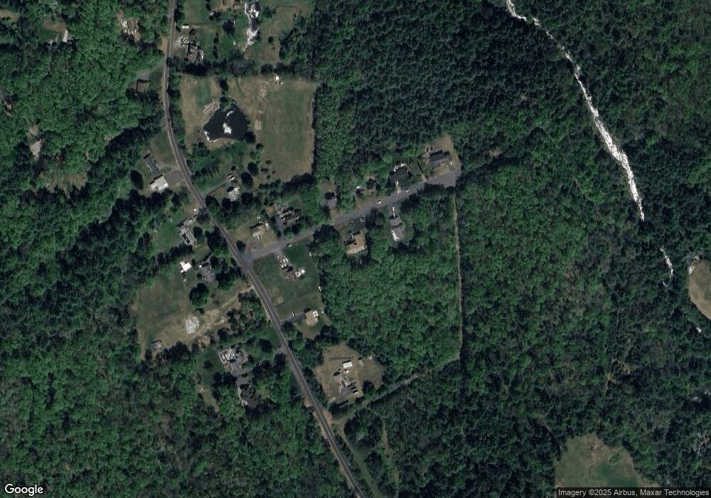
Map
Nearby Homes
- 201 West St
- 201 Belchertown Rd
- 28 Gould St
- LOT 3 Monson Turnpike Rd
- 375 Belchertown Rd
- 67 Babcock Tavern Rd
- 87 W Main St
- Lot 16 Coldbrook Dr
- Lot 20 Coldbrook Dr
- Lot 22 Coldbrook Dr
- Lot 13 Coldbrook Dr
- Lot 25 Coldbrook Dr
- 14 Laurel Dr
- 23 West St Unit 25
- 7 Webb Ct
- 48 North St Unit 1
- 44 South St
- 31-33 Aspen St
- 36 Pleasant St
- 76 Aspen St