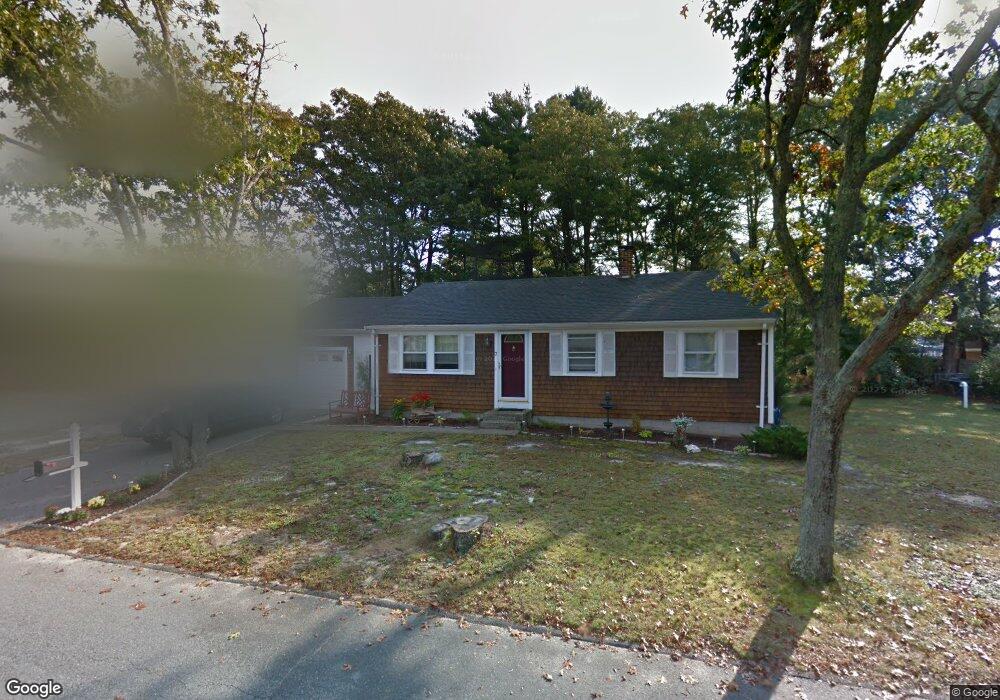
7 Division Ave Wareham, MA 02571
Estimated Value: $425,359 - $455,000
3
Beds
1
Bath
800
Sq Ft
$549/Sq Ft
Est. Value
About This Home
This home is located at 7 Division Ave, Wareham, MA 02571 and is currently estimated at $439,340, approximately $549 per square foot. 7 Division Ave is a home located in Plymouth County.
Ownership History
Date
Name
Owned For
Owner Type
Purchase Details
Closed on
May 1, 1998
Sold by
Sullivan Terence W and Sullivan Jeanette
Bought by
Wambolt Michael E and Wambolt Linda R
Current Estimated Value
Home Financials for this Owner
Home Financials are based on the most recent Mortgage that was taken out on this home.
Original Mortgage
$94,500
Outstanding Balance
$18,368
Interest Rate
7.04%
Mortgage Type
Purchase Money Mortgage
Estimated Equity
$420,972
Create a Home Valuation Report for This Property
The Home Valuation Report is an in-depth analysis detailing your home's value as well as a comparison with similar homes in the area
Purchase History
| Date | Buyer | Sale Price | Title Company |
|---|---|---|---|
| Wambolt Michael E | $105,000 | -- | |
| Wambolt Michael E | $105,000 | -- |
Source: Public Records
Mortgage History
| Date | Status | Borrower | Loan Amount |
|---|---|---|---|
| Open | Wambolt Michael E | $94,500 | |
| Closed | Wambolt Michael E | $94,500 |
Source: Public Records
Tax History
| Year | Tax Paid | Tax Assessment Tax Assessment Total Assessment is a certain percentage of the fair market value that is determined by local assessors to be the total taxable value of land and additions on the property. | Land | Improvement |
|---|---|---|---|---|
| 2025 | $3,951 | $379,200 | $119,700 | $259,500 |
| 2024 | $4,029 | $358,800 | $93,200 | $265,600 |
| 2023 | $3,613 | $319,900 | $84,700 | $235,200 |
| 2022 | $3,613 | $274,100 | $84,700 | $189,400 |
| 2021 | $3,571 | $265,500 | $84,700 | $180,800 |
| 2020 | $3,331 | $251,200 | $84,700 | $166,500 |
| 2019 | $3,006 | $225,100 | $80,500 | $144,600 |
| 2018 | $4,619 | $206,800 | $80,500 | $126,300 |
| 2017 | $4,703 | $197,400 | $80,500 | $116,900 |
| 2016 | $2,411 | $178,200 | $77,600 | $100,600 |
| 2015 | $2,329 | $178,200 | $77,600 | $100,600 |
| 2014 | $2,253 | $175,300 | $77,600 | $97,700 |
Source: Public Records
Map
Nearby Homes
- 2711 Cranberry Hwy
- 2697 Cranberry Hwy Unit 23
- 2645 Cranberry Hwy Unit A
- 103 Kimberly Ct
- 156 Sandwich Rd
- 2783 Cranberry Hwy
- 25 Linwood Ave
- 0 Charge Pond Rd
- 110 Mayflower Ridge Dr
- 55 Minot Ave Unit 55
- 2838 Cranberry Hwy
- 10 Oak St
- 437 Main St
- 102 Maple Springs Rd
- 91 Agawam Lake Shore Dr
- 124 Minot Ave Unit 1
- 9 Old Glen Charlie Rd
- 7 Knowles Ave
- 223 Charge Pond Rd
- 3 Michael Dr
Your Personal Tour Guide
Ask me questions while you tour the home.