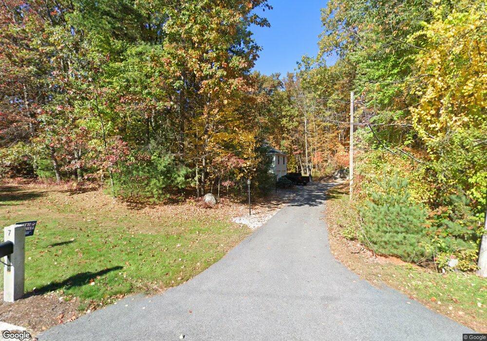
7 Fieldstone Dr Hooksett, NH 03106
Estimated Value: $665,468 - $720,000
3
Beds
3
Baths
2,192
Sq Ft
$317/Sq Ft
Est. Value
About This Home
This home is located at 7 Fieldstone Dr, Hooksett, NH 03106 and is currently estimated at $694,117, approximately $316 per square foot. 7 Fieldstone Dr is a home located in Merrimack County with nearby schools including Fred C. Underhill School, Hooksett Memorial School, and David R. Cawley Middle School.
Ownership History
Date
Name
Owned For
Owner Type
Purchase Details
Closed on
Dec 21, 2022
Sold by
Taylor Gregory S and Taylor Kristen M
Bought by
Taylor Ft 2022
Current Estimated Value
Purchase Details
Closed on
Jan 13, 1999
Sold by
Allstate Bldrs Inc
Bought by
Taylor Gregory S and Taylor Kristen M
Home Financials for this Owner
Home Financials are based on the most recent Mortgage that was taken out on this home.
Original Mortgage
$150,000
Interest Rate
6.7%
Create a Home Valuation Report for This Property
The Home Valuation Report is an in-depth analysis detailing your home's value as well as a comparison with similar homes in the area
Home Values in the Area
Average Home Value in this Area
Purchase History
| Date | Buyer | Sale Price | Title Company |
|---|---|---|---|
| Taylor Ft 2022 | -- | None Available | |
| Taylor Gregory S | $184,400 | -- |
Source: Public Records
Mortgage History
| Date | Status | Borrower | Loan Amount |
|---|---|---|---|
| Previous Owner | Taylor Gregory S | $150,000 |
Source: Public Records
Tax History Compared to Growth
Tax History
| Year | Tax Paid | Tax Assessment Tax Assessment Total Assessment is a certain percentage of the fair market value that is determined by local assessors to be the total taxable value of land and additions on the property. | Land | Improvement |
|---|---|---|---|---|
| 2024 | $9,830 | $579,600 | $161,700 | $417,900 |
| 2023 | $9,262 | $579,600 | $161,600 | $418,000 |
| 2022 | $8,141 | $338,500 | $110,400 | $228,100 |
| 2021 | $7,521 | $338,500 | $110,400 | $228,100 |
| 2020 | $7,620 | $338,500 | $110,400 | $228,100 |
| 2019 | $7,295 | $338,500 | $110,400 | $228,100 |
| 2018 | $7,488 | $338,500 | $110,400 | $228,100 |
| 2017 | $7,148 | $267,300 | $96,900 | $170,400 |
| 2016 | $7,054 | $267,300 | $96,900 | $170,400 |
| 2015 | $41,469 | $267,300 | $96,900 | $170,400 |
| 2014 | $6,637 | $267,300 | $96,900 | $170,400 |
| 2013 | $6,276 | $267,300 | $96,900 | $170,400 |
Source: Public Records
Map
Nearby Homes
- 13 Johns Dr
- 117 Fox Hollow Way
- 135 Brookview Dr
- 192 Londonderry Turnpike
- 45 Leonard Ave
- 6 Deerhead St
- 180 W Haven Rd
- 50 Edward J Roy Dr Unit 10
- 103 Derryfield Ct
- 265 Edward J Roy Dr Unit 207
- 312 Whittington St
- 905 Mammoth Rd Unit 10
- 12 Poplar St
- 14 Overlook Cir
- 310 Karatzas Ave Unit Lot 2
- 302 Karatzas Ave Unit Lot 0
- 304 Karatzas Ave Unit Lot 1
- 146 Karatzas Ave
- 305 Karatzas Ave Unit Lot 21
- 309 Karatzas Ave Unit Lot 20
- 9 Fieldstone Dr
- 6 Fieldstone Dr
- 6 Birchwood Ln
- 8 Fieldstone Dr
- 10 Fieldstone Dr
- 13 Fieldstone Dr
- 8 Birchwood Ln
- 4 Birchwood Ln
- 12 Fieldstone Dr
- 3 Birchwood Ln
- 15 Fieldstone Dr
- 50 Castle Dr
- 68 Johns Dr
- 5 Birchwood Ln
- 10 Johns Dr
- 14 Fieldstone Dr
- 1 Birchwood Ln
- 12 Birchwood Ln
- 52 Castle Dr
- 17 Fieldstone Dr