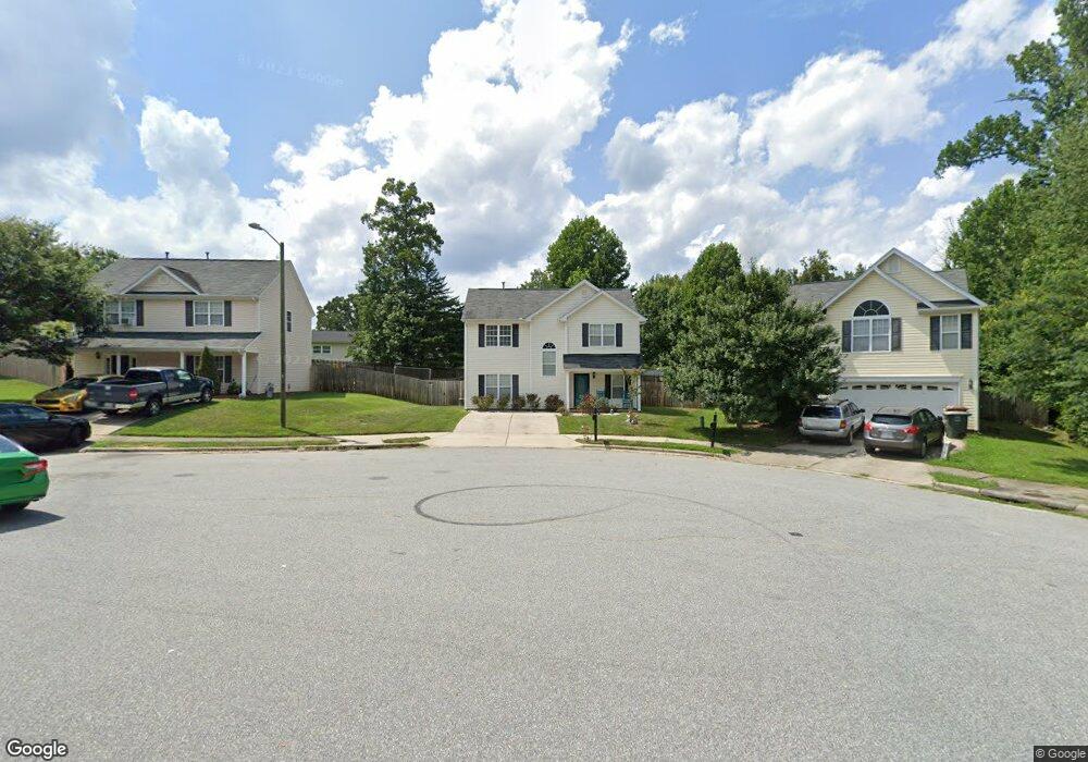
7 Foust Ct Greensboro, NC 27405
Estimated Value: $225,000 - $257,000
3
Beds
3
Baths
1,456
Sq Ft
$169/Sq Ft
Est. Value
About This Home
This home is located at 7 Foust Ct, Greensboro, NC 27405 and is currently estimated at $246,488, approximately $169 per square foot. 7 Foust Ct is a home located in Guilford County with nearby schools including Brightwood Elementary School, Northeast Guilford Middle School, and Northeast Guilford High School.
Ownership History
Date
Name
Owned For
Owner Type
Purchase Details
Closed on
Aug 15, 2006
Sold by
Keystone Group Inc
Bought by
Williams Michelle D
Current Estimated Value
Home Financials for this Owner
Home Financials are based on the most recent Mortgage that was taken out on this home.
Original Mortgage
$129,500
Outstanding Balance
$86,501
Interest Rate
8.94%
Mortgage Type
Purchase Money Mortgage
Estimated Equity
$159,987
Create a Home Valuation Report for This Property
The Home Valuation Report is an in-depth analysis detailing your home's value as well as a comparison with similar homes in the area
Home Values in the Area
Average Home Value in this Area
Purchase History
| Date | Buyer | Sale Price | Title Company |
|---|---|---|---|
| Williams Michelle D | $129,500 | None Available |
Source: Public Records
Mortgage History
| Date | Status | Borrower | Loan Amount |
|---|---|---|---|
| Open | Williams Michelle D | $129,500 |
Source: Public Records
Tax History Compared to Growth
Tax History
| Year | Tax Paid | Tax Assessment Tax Assessment Total Assessment is a certain percentage of the fair market value that is determined by local assessors to be the total taxable value of land and additions on the property. | Land | Improvement |
|---|---|---|---|---|
| 2025 | $2,163 | $154,200 | $27,000 | $127,200 |
| 2024 | $2,163 | $154,200 | $27,000 | $127,200 |
| 2023 | $2,163 | $154,200 | $27,000 | $127,200 |
| 2022 | $2,102 | $154,200 | $27,000 | $127,200 |
| 2021 | $1,789 | $128,400 | $20,000 | $108,400 |
| 2020 | $1,789 | $128,400 | $20,000 | $108,400 |
| 2019 | $1,789 | $128,400 | $0 | $0 |
| 2018 | $1,737 | $128,400 | $0 | $0 |
| 2017 | $1,750 | $128,400 | $0 | $0 |
| 2016 | $1,595 | $115,200 | $0 | $0 |
| 2015 | $1,604 | $115,200 | $0 | $0 |
| 2014 | $1,616 | $115,200 | $0 | $0 |
Source: Public Records
Map
Nearby Homes
- 1910 Brightwood School Rd
- 1718 Fern Hill Dr
- 4809 Presnell Way
- 4807 Presnell Way
- 4530 Holland Rd
- 2116 Lees Chapel Rd
- 4604 Southern Webbing Mill Rd
- 4608 Southern Webbing Mill Rd
- 4503 Holland Rd
- 1911 Allyson Ave
- 1807 Allyson Ave
- 1705 Helen Rd
- 2003 Lees Chapel Rd
- 5108 Summit Ave
- 9 Jans Ct
- 4621 Chapel Ridge Dr
- 4610 Chapel Ridge Dr
- 4115 Corbin Rd
- 5214 Summit Ave
- 3815 Pineway Dr
- 5 Foust Ct
- 5 Foust Ct
- 4812 Holders Rd
- 4810 Holders Rd
- 4814 Holders Rd
- 3 Foust Ct
- 4808 Holders Rd
- 6 Foust Ct
- 1903 Foust Ct
- 8 Foust Ct
- 4816 Holders Rd
- 4 Foust Ct
- 1903 Foust Rd
- 1906 Brightwood Landing Ln
- 1904 Brightwood Landing Ln
- 1908 Brightwood Landing Ln
- 1901 Foust Rd
- 1910 Brightwood Landing Ln
- 1901 Foust Rd
- 4818 Holders Rd