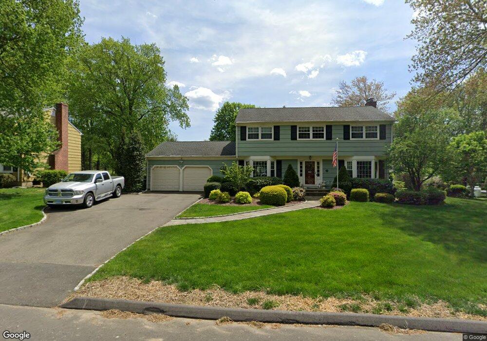
7 Glenbrook Rd Trumbull, CT 06611
West Trumbull NeighborhoodEstimated Value: $738,000 - $799,000
4
Beds
3
Baths
2,542
Sq Ft
$305/Sq Ft
Est. Value
About This Home
This home is located at 7 Glenbrook Rd, Trumbull, CT 06611 and is currently estimated at $774,767, approximately $304 per square foot. 7 Glenbrook Rd is a home located in Fairfield County with nearby schools including Jane Ryan School, Madison Middle School, and Trumbull High School.
Ownership History
Date
Name
Owned For
Owner Type
Purchase Details
Closed on
Apr 19, 2024
Sold by
Chang Nick P
Bought by
77 Glenbrook Rd Llc
Current Estimated Value
Purchase Details
Closed on
Sep 30, 1997
Sold by
Goldberg Michael and Goldberg Jennifer G
Bought by
Wade William H and Wade Jeannie
Purchase Details
Closed on
Jul 3, 1995
Sold by
Estra Jordan and Estra Amy
Bought by
Goldberg Michael and Goldberg Jennifer
Create a Home Valuation Report for This Property
The Home Valuation Report is an in-depth analysis detailing your home's value as well as a comparison with similar homes in the area
Home Values in the Area
Average Home Value in this Area
Purchase History
| Date | Buyer | Sale Price | Title Company |
|---|---|---|---|
| 77 Glenbrook Rd Llc | -- | None Available | |
| 77 Glenbrook Rd Llc | -- | None Available | |
| Wade William H | $297,600 | -- | |
| Goldberg Michael | $282,000 | -- | |
| Wade William H | $297,600 | -- | |
| Goldberg Michael | $282,000 | -- |
Source: Public Records
Mortgage History
| Date | Status | Borrower | Loan Amount |
|---|---|---|---|
| Previous Owner | Goldberg Michael | $222,000 | |
| Previous Owner | Goldberg Michael | $250,000 | |
| Previous Owner | Goldberg Michael | $247,000 |
Source: Public Records
Tax History
| Year | Tax Paid | Tax Assessment Tax Assessment Total Assessment is a certain percentage of the fair market value that is determined by local assessors to be the total taxable value of land and additions on the property. | Land | Improvement |
|---|---|---|---|---|
| 2025 | $12,418 | $337,960 | $155,400 | $182,560 |
| 2024 | $12,067 | $337,960 | $155,400 | $182,560 |
| 2023 | $11,875 | $337,960 | $155,400 | $182,560 |
| 2022 | $11,683 | $337,960 | $155,400 | $182,560 |
| 2021 | $10,792 | $296,800 | $129,500 | $167,300 |
| 2020 | $10,585 | $296,800 | $129,500 | $167,300 |
| 2018 | $10,348 | $296,800 | $129,500 | $167,300 |
| 2017 | $10,156 | $296,800 | $129,500 | $167,300 |
| 2016 | $9,895 | $296,800 | $129,500 | $167,300 |
| 2015 | $9,947 | $297,200 | $129,500 | $167,700 |
| 2014 | $9,736 | $297,200 | $129,500 | $167,700 |
Source: Public Records
Map
Nearby Homes
- 40 Rose Terrace
- 215 Fernwood Rd
- 253 Mayfield Dr Unit 253
- 177 Mayfield Dr
- 21 Histon Rd
- 26 Grove St
- 25 Plymouth Ave
- lot 194 Prospect Ave
- 71 Cider Mill Ln
- 39 Zephyr Rd
- 0 Main St
- 4725 Madison Ave
- Lot 31 Valley View Rd
- 132 Merrimac Dr
- 18 Ridgebury Dr
- 30 Windy Ridge
- 35 Sturbridge Rd
- 65 Bonnie View Dr
- 45 Frenchtown Rd
- 121 Campbell Rd
- 15 Glenbrook Rd
- 5 Glenbrook Rd
- 34 Smith Place
- 8 Glenbrook Rd
- 23 Glenbrook Rd
- 4 Glenbrook Rd
- 12 Glenbrook Rd
- 4 Aragon Dr
- 20 Westbrook Rd
- 109 Evelyn St
- 42 Smith Place
- 22 Glenbrook Rd
- 37 Smith Place
- 37 Smith Place Unit Place
- 24 Westbrook Rd
- 58 Rangely Dr
- 33 Smith Place
- 7 Westbrook Rd
- 112 Evelyn St
- 28 Glenbrook Rd
Your Personal Tour Guide
Ask me questions while you tour the home.