Estimated Value: $652,000 - $686,458
3
Beds
2
Baths
1,274
Sq Ft
$521/Sq Ft
Est. Value
About This Home
This home is located at 7 Grape Island Trail, Gray, ME 04039 and is currently estimated at $663,365, approximately $520 per square foot. 7 Grape Island Trail is a home with nearby schools including Gray-New Gloucester High School.
Ownership History
Date
Name
Owned For
Owner Type
Purchase Details
Closed on
Jan 14, 2020
Sold by
Loring Joseph C and Loring William T
Bought by
Exploring Llc
Current Estimated Value
Create a Home Valuation Report for This Property
The Home Valuation Report is an in-depth analysis detailing your home's value as well as a comparison with similar homes in the area
Home Values in the Area
Average Home Value in this Area
Purchase History
| Date | Buyer | Sale Price | Title Company |
|---|---|---|---|
| Exploring Llc | -- | None Available | |
| Exploring Llc | -- | None Available | |
| Sullivan Ann | -- | None Available | |
| Sullivan Ann | -- | None Available |
Source: Public Records
Tax History
| Year | Tax Paid | Tax Assessment Tax Assessment Total Assessment is a certain percentage of the fair market value that is determined by local assessors to be the total taxable value of land and additions on the property. | Land | Improvement |
|---|---|---|---|---|
| 2025 | $6,105 | $630,700 | $422,000 | $208,700 |
| 2024 | $6,118 | $630,700 | $422,000 | $208,700 |
| 2023 | $5,844 | $385,000 | $211,000 | $174,000 |
| 2022 | $5,371 | $385,000 | $211,000 | $174,000 |
| 2021 | $5,252 | $359,500 | $211,000 | $148,500 |
| 2020 | $5,303 | $359,500 | $211,000 | $148,500 |
| 2019 | $3,971 | $269,200 | $211,000 | $58,200 |
| 2018 | $3,769 | $269,200 | $211,000 | $58,200 |
| 2017 | $3,051 | $160,600 | $124,200 | $36,400 |
| 2016 | $2,939 | $160,600 | $124,200 | $36,400 |
| 2015 | $2,923 | $160,600 | $124,200 | $36,400 |
| 2014 | $2,923 | $160,600 | $124,200 | $36,400 |
| 2012 | $2,546 | $160,611 | $124,217 | $36,394 |
Source: Public Records
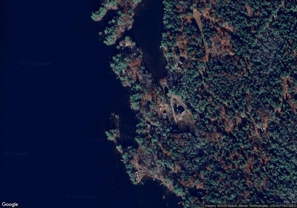
Map
Nearby Homes
- 2 Gore Rd
- 150 Birchwood Rd
- M011-006 Westwood Rd
- 17 Northern Oaks Dr
- 15 Presidential View
- 4 Chelsey Ln
- 224 Shaker Rd
- 0 Gore Unit 1655428
- 20 Bittersweet Way
- 39 Pipeline Rd
- 16 Peterson Rd
- lot #8 Bedrock Terrace
- 99 Enterprise Dr
- 14 Yarmouth Rd
- 1112 Roosevelt Trail Unit 8
- 13 Yarmouth Rd
- 1083 Roosevelt Trail
- 34 Smith Rd
- Lot 21-29 Weymouth Rd
- 25 Yarmouth Rd
- 11 Grape Island Trail
- 1 Grape Island Trail
- 15 Grape Island Trail
- 360 Ramsdell Rd
- 17 Grape Island Trail
- 352 Ramsdell Rd
- 3 Grape Island Trail
- 359 Ramsdell Rd
- 27 Grape Island Trail
- 31 Grape Island Trail Unit ID1255945P
- 31 Grape Island Trail
- 29 Grape Island Trail
- 16 Witham Rd
- 342 Ramsdell Rd
- 344 Ramsdell Rd
- 33 Grape Island Trail
- 18 Witham Rd
- 340 Ramsdell Rd
- 20 Witham Rd
- 378 Ramsdell Rd
Your Personal Tour Guide
Ask me questions while you tour the home.