Estimated Value: $544,000 - $1,000,511
About This Home
This home is located at 378 Ramsdell Rd, Gray, ME 04039 and is currently estimated at $832,128, approximately $513 per square foot. 378 Ramsdell Rd is a home located in Cumberland County with nearby schools including Gray-New Gloucester High School.
Ownership History
We collect this data history from publicly available records. To have your information removed, we recommend requesting removal directly through your county’s website.
Purchase Details
Home Financials for this Owner
Home Financials are based on the most recent Mortgage that was taken out on this home.Purchase Details
Purchase Details
Home Financials for this Owner
Home Financials are based on the most recent Mortgage that was taken out on this home.Home Values in the Area
Average Home Value in this Area
Purchase History
We collect this data history from publicly available records. To have your information removed, we recommend requesting removal directly through your county’s website.
| Date | Buyer | Sale Price | Title Company |
|---|---|---|---|
| -- | None Available | ||
| -- | None Available | ||
| -- | -- |
Mortgage History
We collect this data history from publicly available records. To have your information removed, we recommend requesting removal directly through your county’s website.
| Date | Status | Borrower | Loan Amount |
|---|---|---|---|
| Open | $425,000 | ||
| Previous Owner | $288,400 | ||
| Previous Owner | $42,011 | ||
| Previous Owner | $201,500 |
Tax History
We collect this data history from publicly available records. To have your information removed, we recommend requesting removal directly through your county’s website.
| Year | Tax Paid | Tax Assessment Tax Assessment Total Assessment is a certain percentage of the fair market value that is determined by local assessors to be the total taxable value of land and additions on the property. | Land | Improvement |
|---|---|---|---|---|
| 2025 | $8,976 | $927,300 | $648,200 | $279,100 |
| 2024 | $8,995 | $927,300 | $648,200 | $279,100 |
| 2023 | $7,276 | $479,300 | $298,900 | $180,400 |
| 2022 | $6,686 | $479,300 | $298,900 | $180,400 |
| 2021 | $6,721 | $460,000 | $298,900 | $161,100 |
| 2020 | $6,785 | $460,000 | $298,900 | $161,100 |
| 2019 | $6,785 | $460,000 | $298,900 | $161,100 |
| 2018 | $6,160 | $460,000 | $298,900 | $161,100 |
| 2017 | $5,197 | $291,500 | $195,900 | $95,600 |
| 2016 | $5,334 | $291,500 | $195,900 | $95,600 |
| 2015 | $5,305 | $291,500 | $195,900 | $95,600 |
| 2014 | $5,305 | $291,500 | $195,900 | $95,600 |
| 2012 | $4,597 | $290,054 | $195,937 | $94,117 |
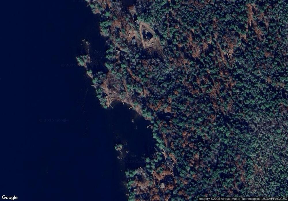
Map
- 1 Steele Rd
- 2 Gore Rd
- 150 Birchwood Rd
- 15 Worcester Dr
- 331 Mount Hunger Shore Rd
- 00 Westwood Rd
- 20 Ambrose Cir
- 30 May Meadow Dr
- 20 Crossridge Dr
- 20 Ladyslipper Dr
- 18 Granite Hill Dr
- 77 Harvest Hill Rd
- 179 Egypt Rd
- 224 Shaker Rd
- 104 Harvest Hill Rd
- 115 Harvest Hill Rd
- 0 Gore Unit 1655428
- 11 Pine Cove Rd
- M20/21/311 Shaw Brook Ln
- 3 Spiro Ave
- 381 Ramsdell Rd
- 20 Witham Rd
- 18 Witham Rd
- 393 Ramsdell Rd
- 16 Witham Rd
- 397 Ramsdell Rd
- 360 Ramsdell Rd
- 404 Ramsdell Rd
- 400 Ramsdell Rd
- 408 Ramsdell Rd
- 1 Grape Island Trail
- 410 Ramsdell Rd
- 401 Ramsdell Rd
- 352 Ramsdell Rd
- 7 Grape Island Trail
- 11 Grape Island Trail
- 412 Ramsdell Rd
- 359 Ramsdell Rd
- 415 Ramsdell Rd
- 15 Grape Island Trail
Ask me questions while you tour the home.